

The Salt River is a 200-mile river that flows from the confluence of the Black River and White Rivers, which drain the White Mountains, to its confluence with the Gila River just outside of Phoenix. This river carved out the Salt River Canyon from layers of sedimentary sandstone, shale, and limestone over the course of millions of years. This erosion created a scenic canyon that is home to an estimated 200 wildlife species and various vegetation that changes with the changing elevation. Called Arizona’s ‘mini Grand Canyon,’ it is truly a beautiful drive along U.S. 60.
We did not take this route on the way to Pinetop, Arizona. As the drive is described by online sources as being difficult- steep, winding, and with some hairpin turns- I opted to take the Beeline Highway for the dark, nighttime drive from Mesa to Pinetop-Lakeside. The way back, however, offered the opportunity for a different adventure. After reading about how pretty the drive through Salt River Canyon would be, we had to take the literal scenic route.
U.S. Route 60 is a major east-west highway which starts at Interstate 10 just east of Quartzsite, Arizona and traverses 2655 miles (4273 km) across the U.S., crossing nine states before reaching its eastern terminus in Virginia Beach. About 83 miles of this transcontinental route is contained in the drive through Salt River Canyon.
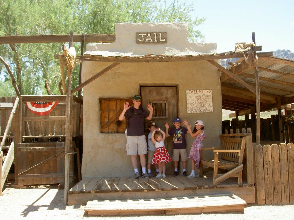
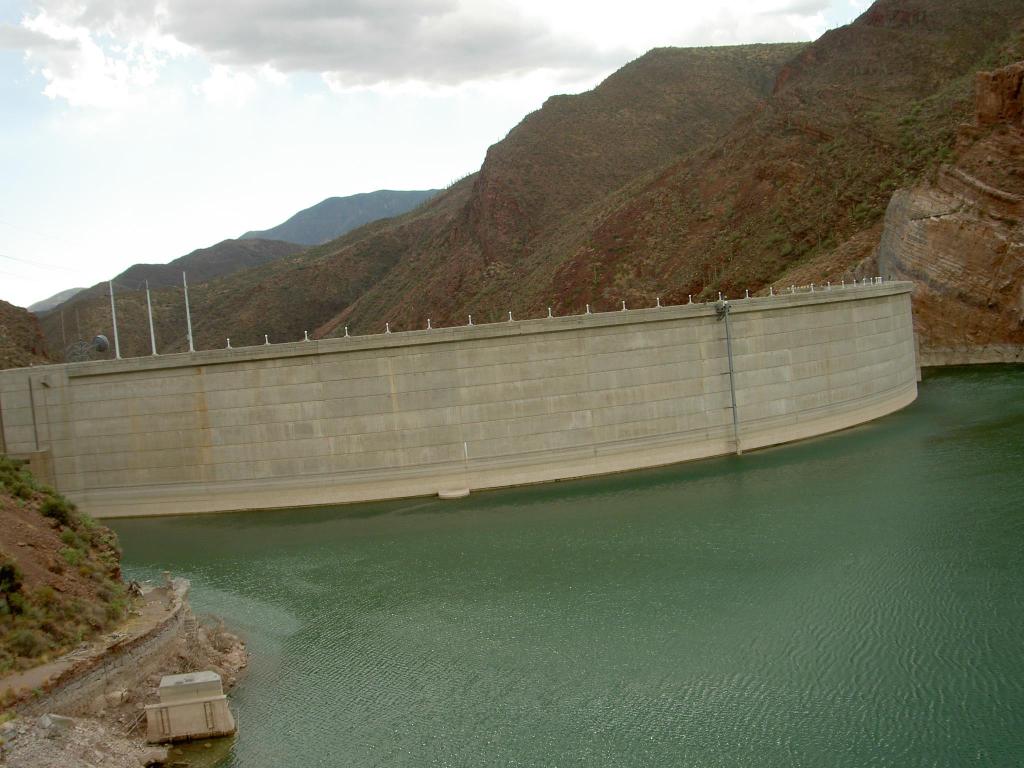
I had driven along U.S. 60 before without realizing it. We had taken a vacation to the Phoenix area back in 2011 when the kids were little. On that summer trip, we had ventured out into the Superstition Mountains to Goldfield Ghost Town and Gold Mine and to Roosevelt Dam in Apache Junction. Roosevelt Lake is a reservoir formed by the dam along the Salt River. While the sketchy drive to the dam was interesting, I remember being less-than-impressed with the dam itself. The dam today stands at 367 feet and holds the largest lake contained in Arizona at 1.6 million acre-feet. It also generates 36 megawatts of hydroelectric power, according to the SRP website.

We had driven U.S. 60 from Globe back to Mesa and Phoenix after exploring around the Superstition Mountains. I had forgotten about that heat-of-summer drive until I had looked at Google Maps when planning our route back to Scottsdale for brunch and JellyCats- two things that Sami was hoping for on this ‘boring’ vacation.
So on our last morning of Thanksgiving break 2024, we packed up the Subie and headed out early. After a stop for fuel and McDonald’s breakfast, we hit AZ-260 to U.S. 60. After about 25 miles of driving, we crossed Carrizo Creek and from there the road did indeed get more winding. The vegetation also changed from the ponderosa pines common to the White Mountains to more desert-type foliage. This was especially pretty in the early morning sunlight.
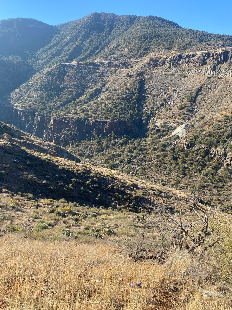
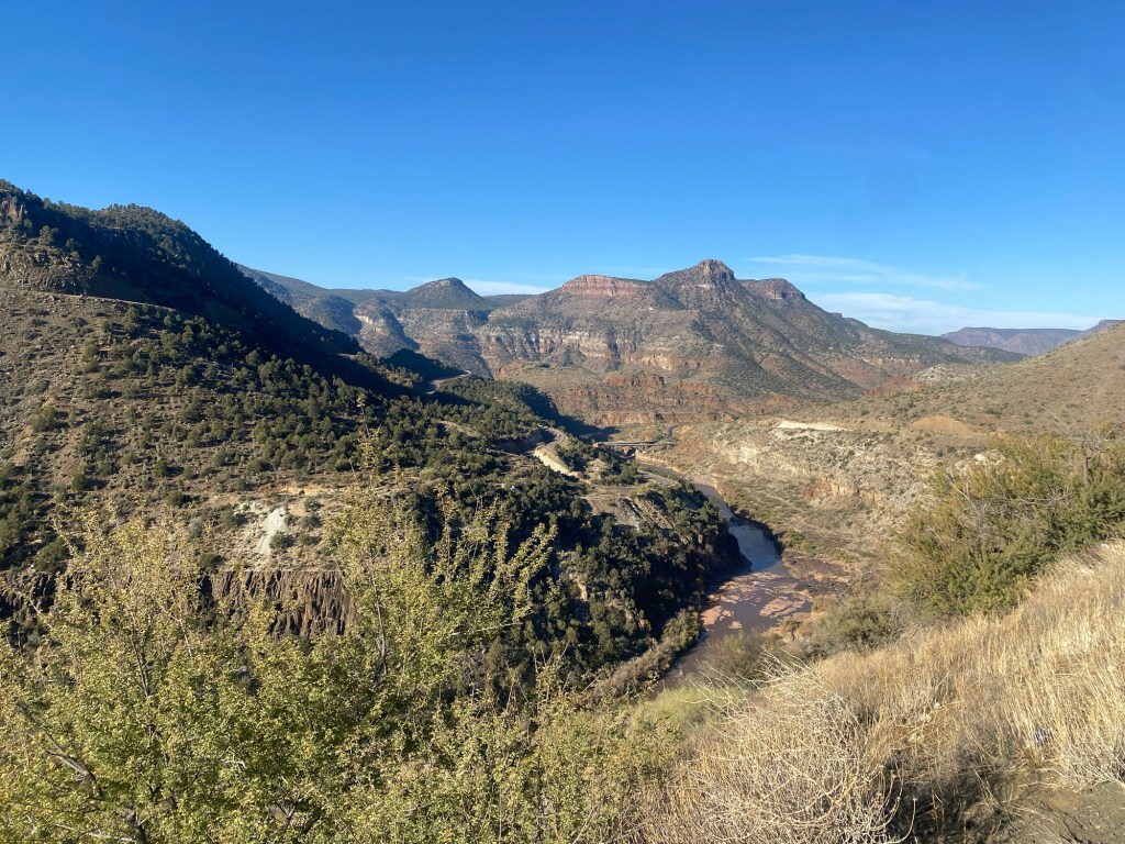
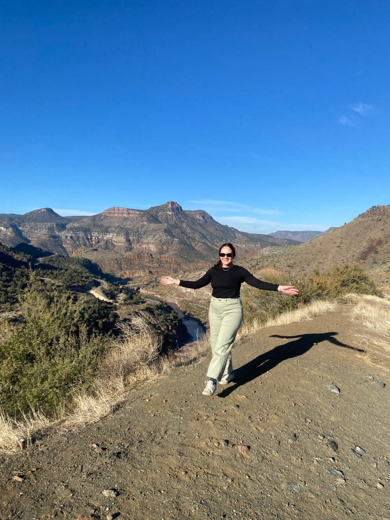
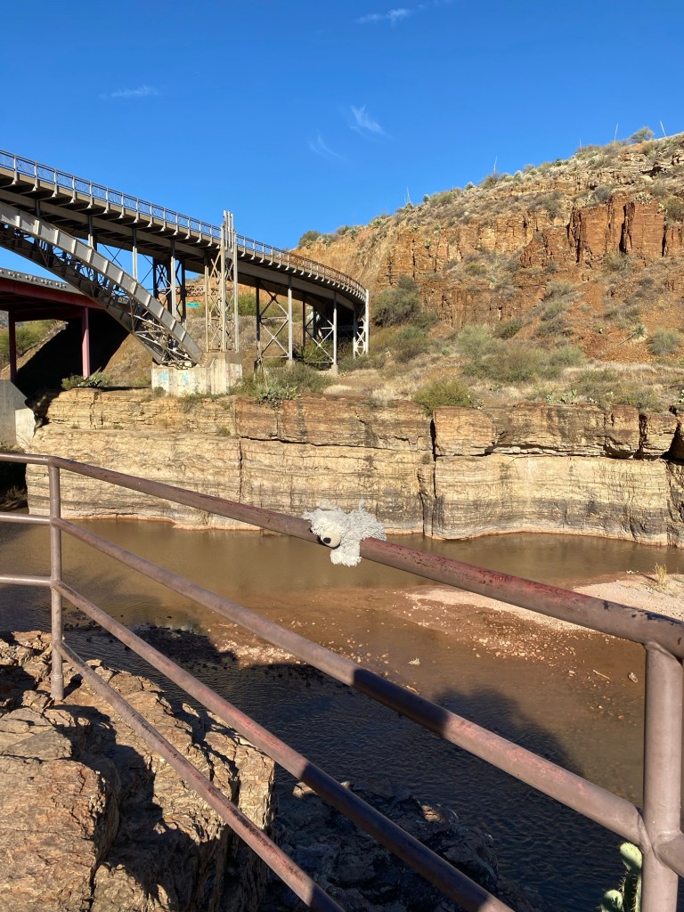
I pulled off twice on this drive. The first spot was at an overlook which shows up on Google Maps as Salt River Canyon View Point. I took in the expansive views and took some photos and video. We drove on another mile-and-a-half, crossing the Salt River Canyon Bridge, and stopped at the Salt River Canyon Rest Stop.
This rest stop on the border of San Carlos and White Mountain Apache land is pretty cool. There are composting restrooms, which were very clean when we stopped. There are also stairs that lead down to the river, offering stunning close-up views of the canyon and the bridges. It was a great place to take a break and stretch our legs.

After enjoying the views and walking a bit on the short path, we hiked back up to the car. The drive from the rest stop to Superior was winding with an elevation drop. While there were a few hairpin turns, the drive went smoothly and was less scary than the internet had let on. With a total drive time of about 3.5 hours, including stops, we made it to Scottsdale for brunch at Breakfast Club and JellyCat shopping at Old Town Candy and Toys. Some good food and a blue Bashful Bunny made Sami a very happy camper.
Some things to consider:
The Salt River Canyon stretch of U.S. 60 is really a beautiful drive. It was definitely worth going during the day so that we could take in the views.
This 83-mile stretch does pose some challenges. While I did not find this drive nearly as intense as our drive on the Sonora Pass, there are some areas that do require some concentration. The road is winding through the canyon, and there are a few hairpin turns. The good thing, however, is that the road is relatively wide. The more difficult challenge would be not getting distracted by the views.
There were not many spots for fuel and other services in the canyon. We made sure to fuel up before leaving Pinetop-Lakeside. We also had plenty of snacks and water in the car.
There are not too many hikes in Salt River Canyon, however there are some hikes along the side trails closer to Globe. For more information, check out the National Forest Service. There is also a short-lived whitewater rafting season for the rapids in the Salt River Canyon Wilderness near Globe. Permits are required.
The drive through Salt River Canyon was breathtaking. It was the perfect way to end our Arizona adventure. In the spirit of this holiday season, I am so thankful that life is an adventure meant to be shared. Here’s to a blessed end of 2024, and cheers to the coming year.
References:
“Layered Sedimentary Rocks Exposed in Salt River Canyon.” AZGS, 14 Mar. 2019, azgs.arizona.edu/photo/layered-sedimentary-rocks-exposed-salt-river-canyon.
“Theodore Roosevelt Dam and Lake.” SRP, http://www.srpnet.com/grid-water-management/water-management/lakes/theodore-roosevelt-dam-lake. Accessed 30 Dec. 2024.
Salt River Canyon | Arizona Highways, Arizona Department of Transportation, 2024, http://www.arizonahighways.com/salt-river-canyon.
Music: Cute Lofi
