About 30 miles east of Barstow, California, in the literal middle of nowhere, there lies an other-worldly landscape. The Pisgah Volcano is a likely extinct, but young-looking cinder cone volcano. There is some debate as to when its last eruption in the lava fields in what today is San Bernardino County. Some say that the volcano last erupted 2200 years ago, however, the general thought based on paleomagnetic and cosmogenic dating is that the last eruption probably took place about 20000 years ago. Either way, it is obvious that the area experienced quite a bit of volcanic activity, which makes for an interesting landscape and a fun adventure.
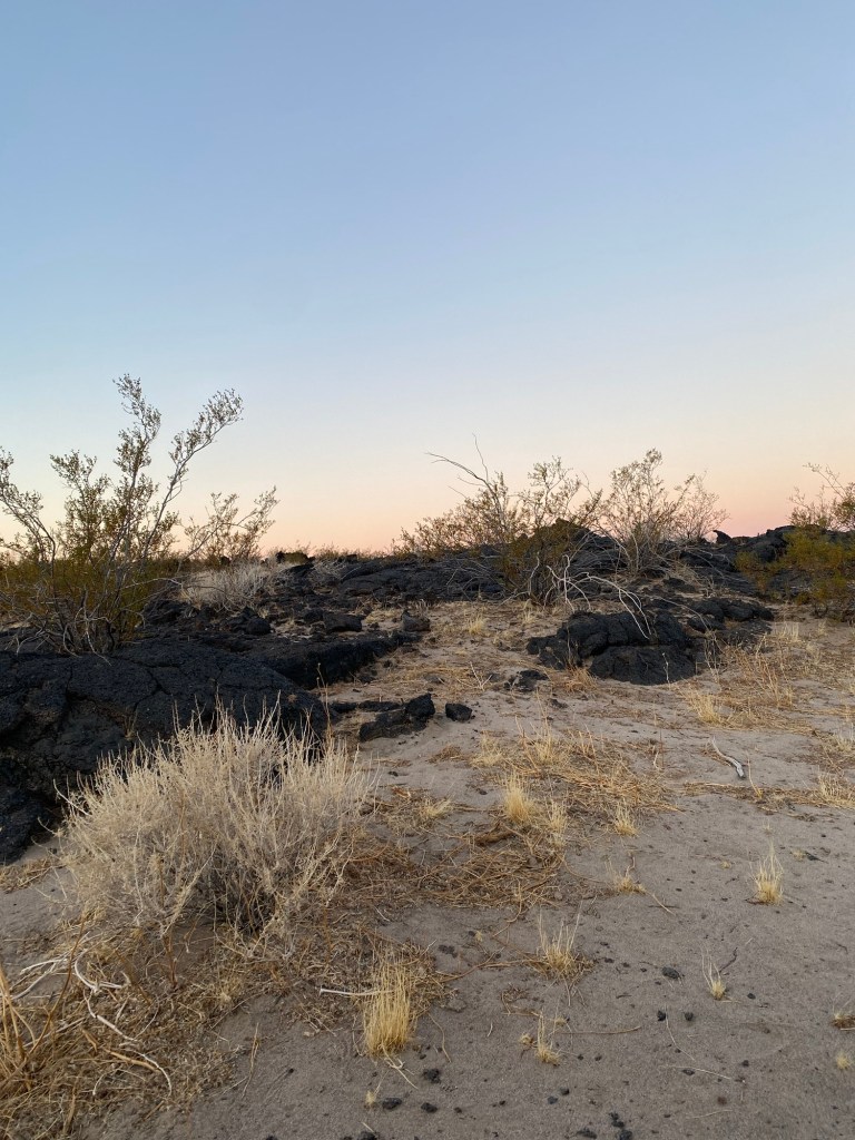
We drove out to the desert early on a January Saturday morning. It was a smooth drive along interstates 210 and 15. We made a stop at an Arco station in Barstow for fuel and a bathroom break before hitting I-40, heading east another 30 miles. We followed National Trails Highway to the decrepit Pisgah Crater Road. We pulled off along Pisgah Crater Road and set up camp in one of the more flat areas where creosote and dry grass dominate the otherwise barren landscape .

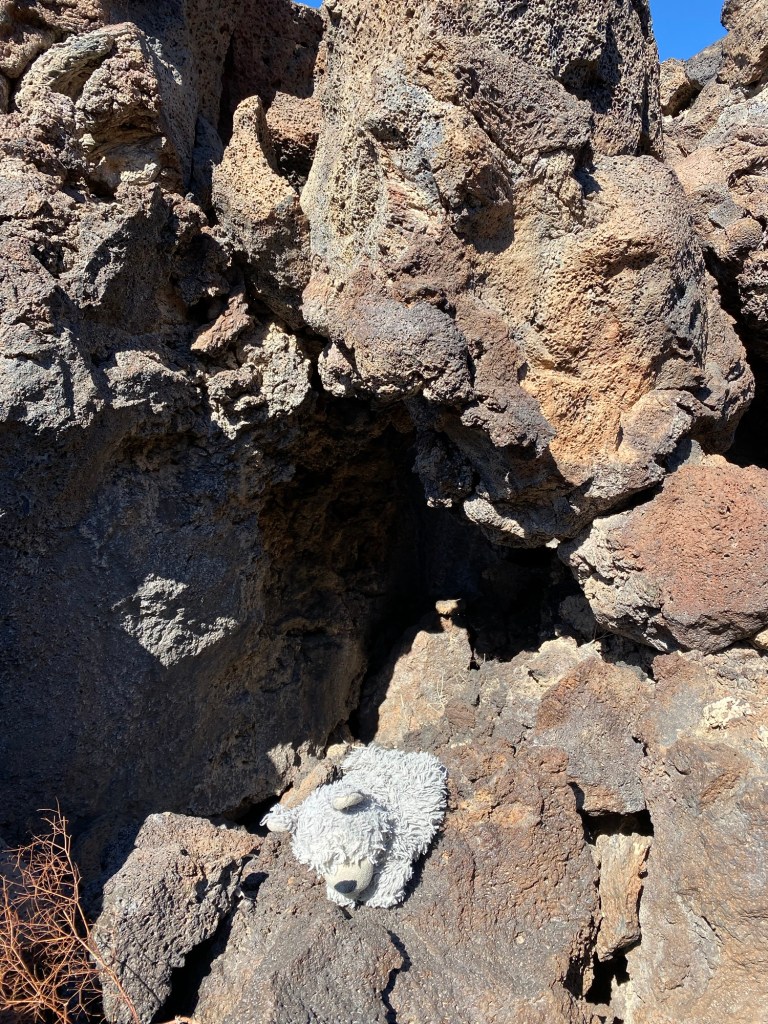
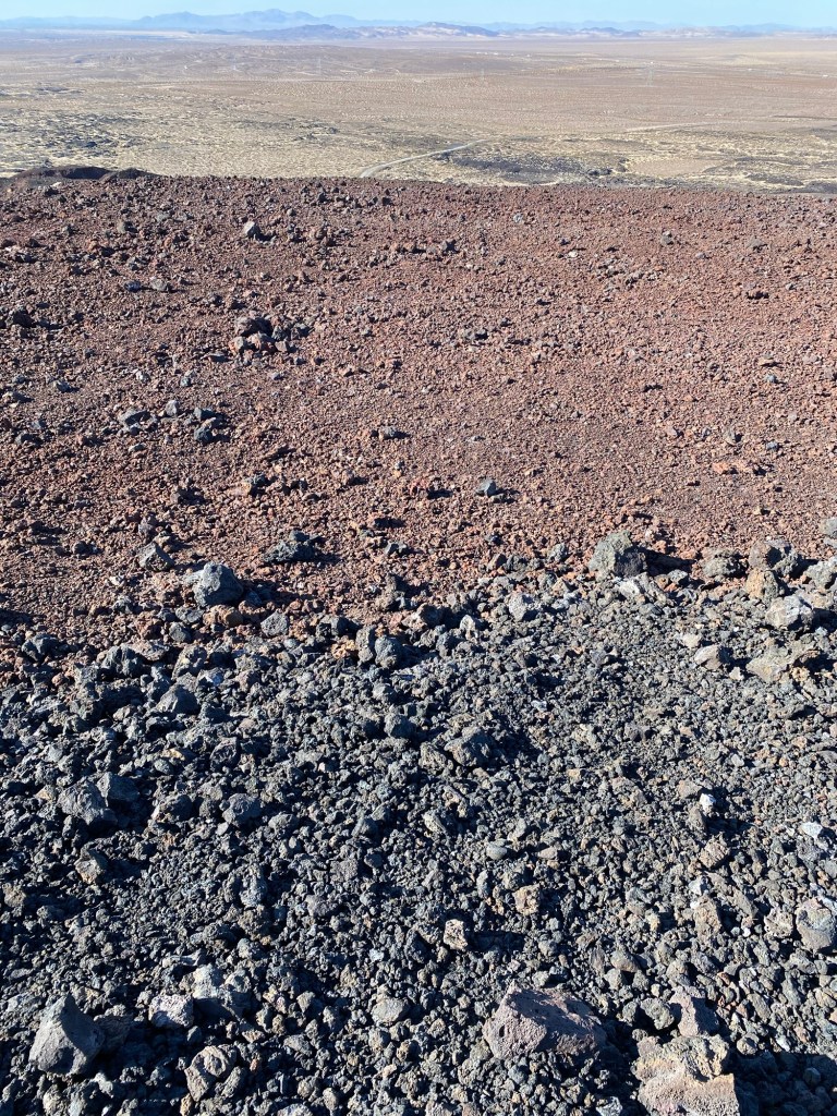
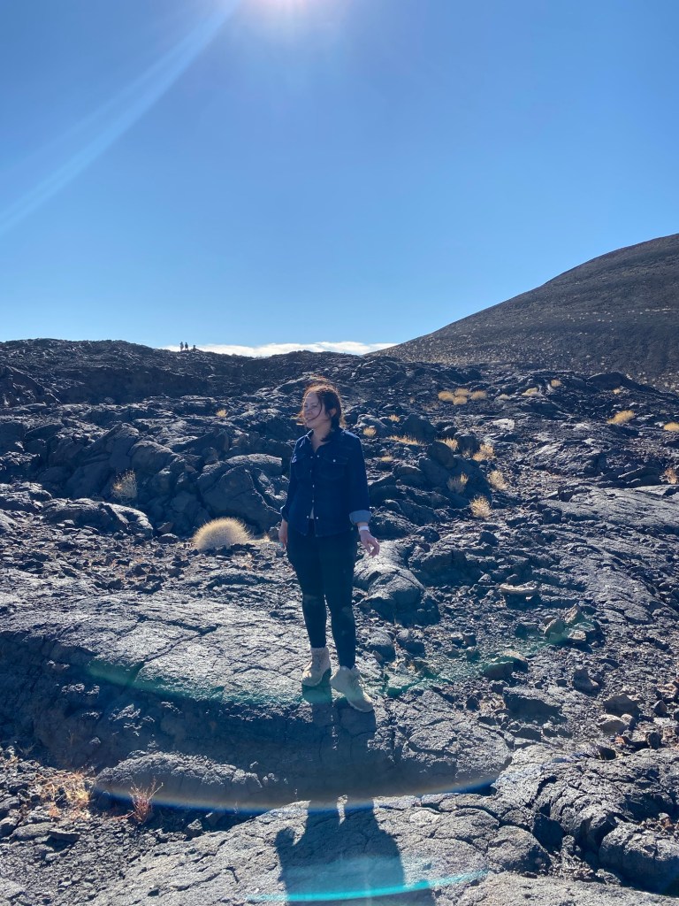
After setting up and packing our lunches for our hike, we set out toward the crater. The black basaltic rock in a vast expanse of desert made it look like we were on another planet. After about a half-mile walk, we arrived at a small parking area. We walked on, heading toward Interstate 40, and the black sand road gave way to the sharper rock of ancient lava flows.

Much of the basaltic lava field was formed by pahoehoe lava flows. This is characterized by a smooth, billowy folded surface. The rock was interesting to observe and stood in contrast to the desert landscape.
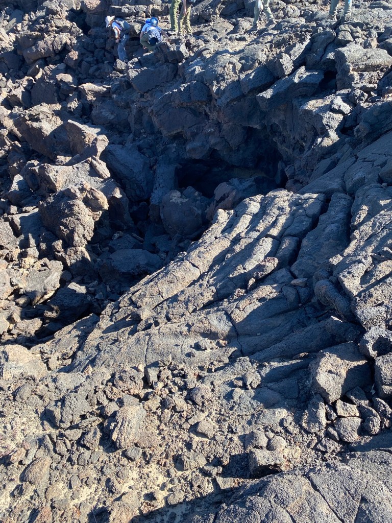
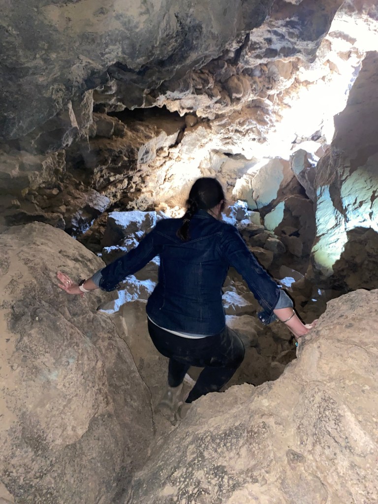
The highlight of the area, though, are the lava tubes. While much of this area had been the site of mining operations and thus was private property, it remains a popular spot for geology nerds and adventure lovers. After lunch, we found the entrance to one of the intact caves. This one seemed relatively long and spooky. It was easily accessed by descending into the cave entrance. I say easy; this is a relative term. I more cautiously descended. While the drop into the cave was only about six feet down with rocks to guide our steps, my chicken self took it slow.
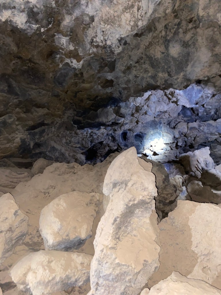

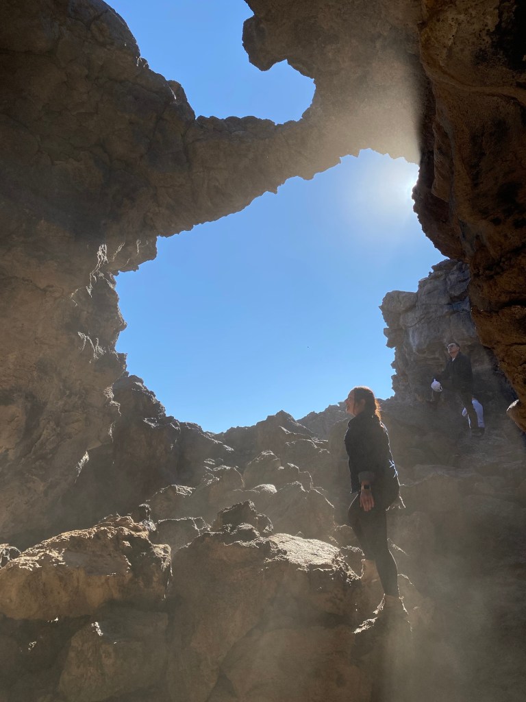
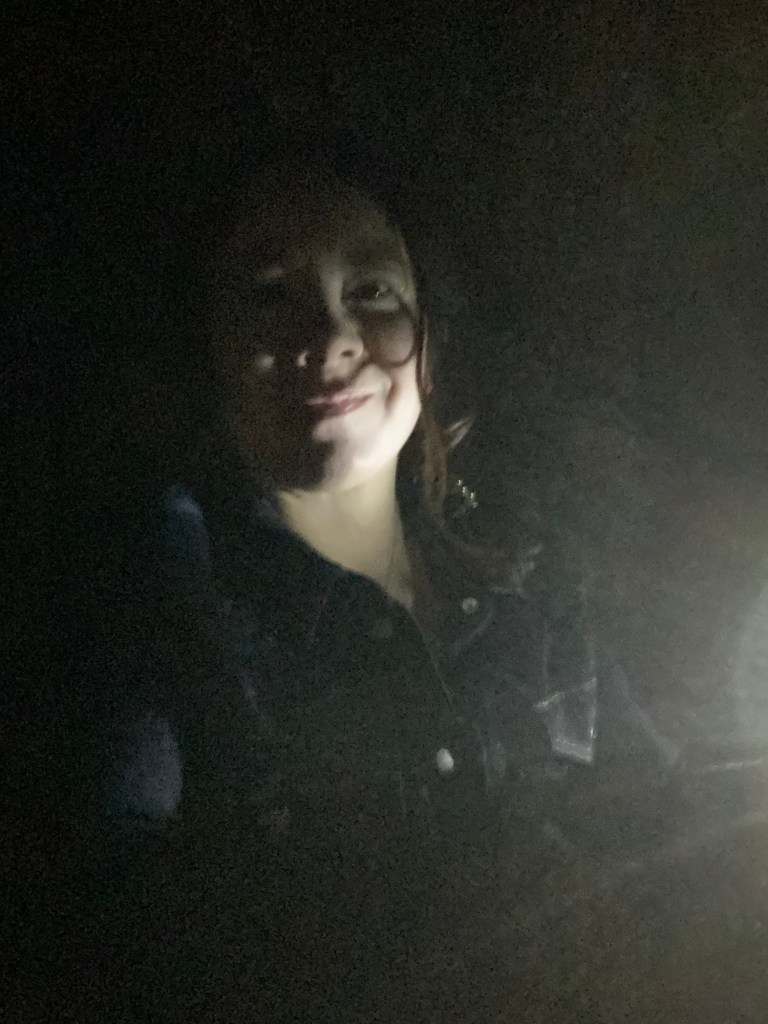
Once down in the cave, I was able to stand up in it. The floor was pretty sandy, and the cave was very dark and rather creepy. Light shone on the rocks revealed interesting patterns. After admiring the rocks, we trekked on, squeezing through a narrow opening that led into a larger chamber. At that point, I was reminded that I had a bit of claustrophobia- and a fear of rocks falling. Even so, it was pretty cool exploring the cave, though I’ll admit I was happy to see golden sunlight streaming through our exit.
After exiting this lava cave, we found another interesting spot. I found one site that called this ‘Suicide Bridge.’ I’m not sure if it actually has a name or if this one’s accurate, but it was still a cool rock formation.

There were other entrances marked by small metal tags, however some of these appeared to have caved in. This was a good reminder that the landscape can change at any time, and that there is inherent risk in exploring this area.

After walking a bit further on the surface of the lava rock, we decided to hike up to the crater. The trail took us up only about 40 meters according to my Strava map. The top of the crater, which is shorter now thanks to mining operations, was a bit underwhelming. There was nothing at the top other than lava rock and a view of the trains paralleling I-40. I did use the opportunity to sit and eat my fruit snacks, as well as reapply some sunscreen. While that day was relatively cool, it was sunny, and that crater and surface of the lava flows are exposed.
After relaxing a bit atop the crater, we made our way back down to the road. It appeared that there were a couple routes back, but it turned out that in order to safely return to the road, we had to go the way we came. I also found that it was easy to slip on the sandy trail; I fell a couple times, requiring a sissy strip for where a lava rock scraped my wrist.
After getting turned around, we reached the road and walked back to our disperse campsite. Despite the minor injuries both to my hands and my ego, the day ended up being a fun adventure. The caves were spooky, but interesting to this geology nerd.
Some things to consider:
Part of the area around Pisgah Crater and the lava flows are part of the Mojave Trails National Monument and managed by the Bureau of Land Management. The rest of it is privately owned. We did pass through an open gate to get to the crater. While not particularly busy the weekend of our visit, we did see a couple campers, what appeared to be a large Scout troop, and a few others exploring the crater and lava tubes. There is dispersed camping on public lands, however camping is not allowed on the private property.
Pisgah Crater is in the Mojave Desert, and as such, can be subject to temperature extremes. We visited in winter. The daytime temperatures were pleasantly in the upper 50s Fahrenheit, however it did get down into the 30s at night. Sun protection and many layers are a good idea.
The lava tubes can pose some dangers. It is hard to see in the caves without good light, and the rocks can be sharp. My leggings kept snagging on the rocks, especially when I decided to shimmy down what I thought were steep parts. The other issue is potential rockfall or cave-ins. Explore at your own risk.
A good headlamp or flashlight is a must if going into the caves. I think it goes without saying that it is impossible to see without it, and there are narrow spots and sharp rocks to be careful of.
Cell service is not the best in the area, however I did have a Verizon signal much of the time. I used my connection to doomscroll before saying my good-bye to TikTok for the 15 hours it would be offline. Google maps was also reliable in getting to the crater. That said, be aware that cell service might be spotty depending on your carrier.
If staying the night on public land, be aware that it is dispersed camping. There are no services, so you’d need to bring any water and supplies. On the plus side, the stargazing is incredible, since there’s no light pollution.
I cannot stress enough that there are some things to consider when visiting Pisgah Crater. Definitely be aware of changes both to access to the caves and the surrounding environment. If in doubt, don’t go in.
In spite of- and perhaps maybe because of- the harsh environment, this was a fun trip. The desert landscape yielded its own haunting beauty, enhanced by the otherworldliness of the lava flows. I did enjoy exploring the caves, especially in the more open areas that didn’t give me some mild panic. It was definitely an adventure meant to be shared.
For more information on Pisgah Crater and other points of interest in the Mojave Trails National Monument, check out the Bureau of Land Management website.
References:
“Global Volcanism Program: Lavic Lake.” Smithsonian Institution | Global Volcanism Program, 2013, volcano.si.edu/volcano.cfm?vn=323190.
“Lavic Lake.” , California (Canada and USA (Mainland)) – Facts & Information, http://www.volcanodiscovery.com/lavic_lake.html. Accessed 27 Jan. 2025.
Beyer, John. “Pisgah Crater Holds Some Surprises.” Victorville Daily Press, Victorville Daily Press, 22 Nov. 2019, http://www.vvdailypress.com/story/lifestyle/things-to-do/2019/11/24/pisgah-crater-holds-some-surprises/2222828007/.
Olvera, Andrew. Google My Maps, Google, 2024, http://www.google.com/maps/d/u/0/viewer?mid=1oIyDHgJiOUAU3uxBBtZT3Mei5l4&ll=34.74653865051127%2C-116.37266869046023&z=18.