

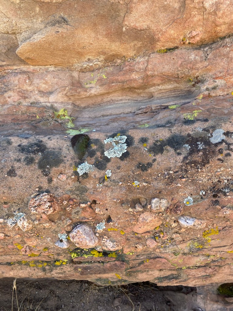
About an hour from the San Gabriel Valley lies an other-worldly scene. So other-worldly in fact, this locale has been used in many films and television shows, including Star Trek and other sci-fi flicks. The large rock formations of Vasquez Rocks, created by the geologic uplift of unique sedimentary layers that were formed from deposits over time. The area, located in northwest Los Angeles County, lies between the Sierra Pelona, Saddleback, and San Gabriel Mountains. Many years of earthquake activity- including that generated by the San Andreas Fault running through California, and less than twelve miles away from Vasquez Rocks- caused average uplift of about 50 degrees to the northeast, according to signage posted in the park. That uplift, followed by thousands of years of erosion, created the fascinating stone formations we see today- in person and on the screen.
I’ve passed by the signs for Vasquez Rocks many times along California State Route 14, usually when passing through to get to U.S. 395. Last weekend, curiosity got the better of me, and I decided to make the drive to check out this L.A. County park offering 945 acres of adventure.
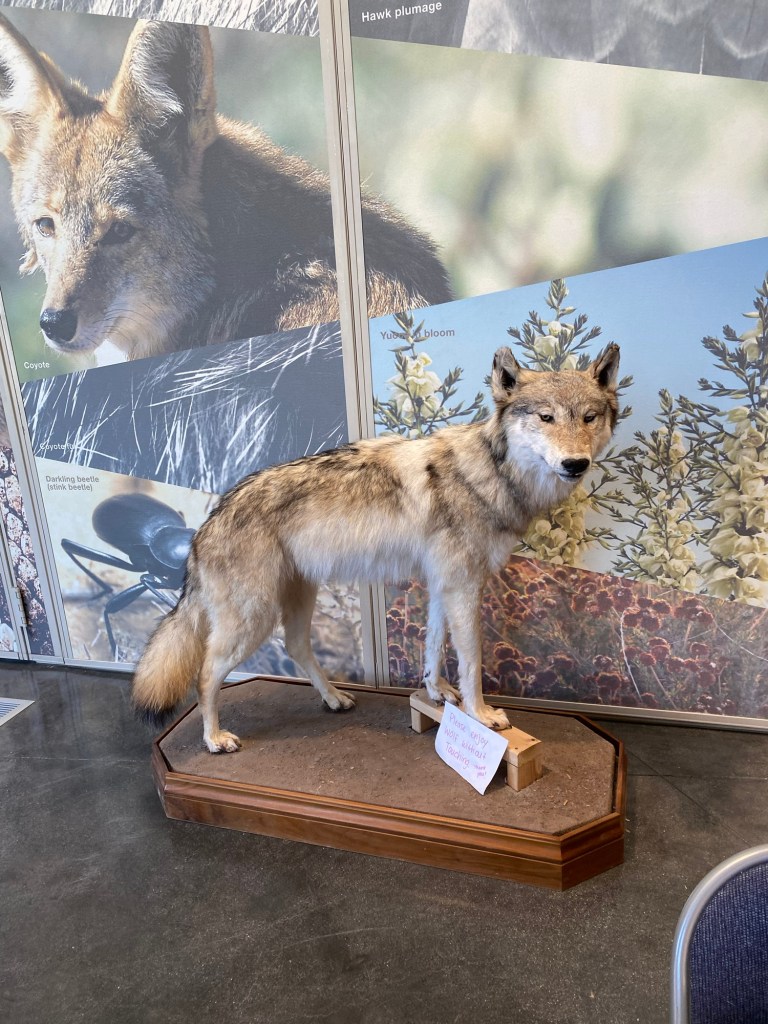

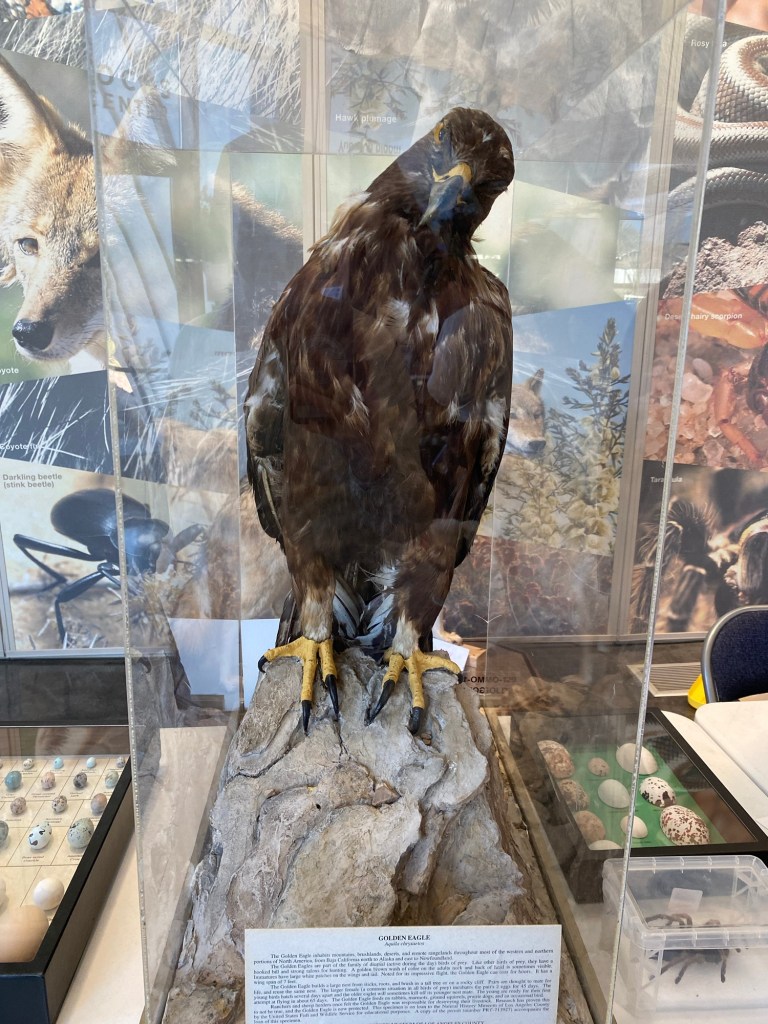
I left a bit later than I wanted to on this particular early February Saturday. Nevertheless, the day was mild with a bit of a breeze, so I wouldn’t be too overheated on the unshaded trails. After driving through the gate along Escondido Canyon Road in Agua Dulce, I parked near the visitor center to start my adventure. I was able to check out the live animal exhibits, chat with some knowledgeable docents for hiking ideas, and use the restroom before heading out on the trails.

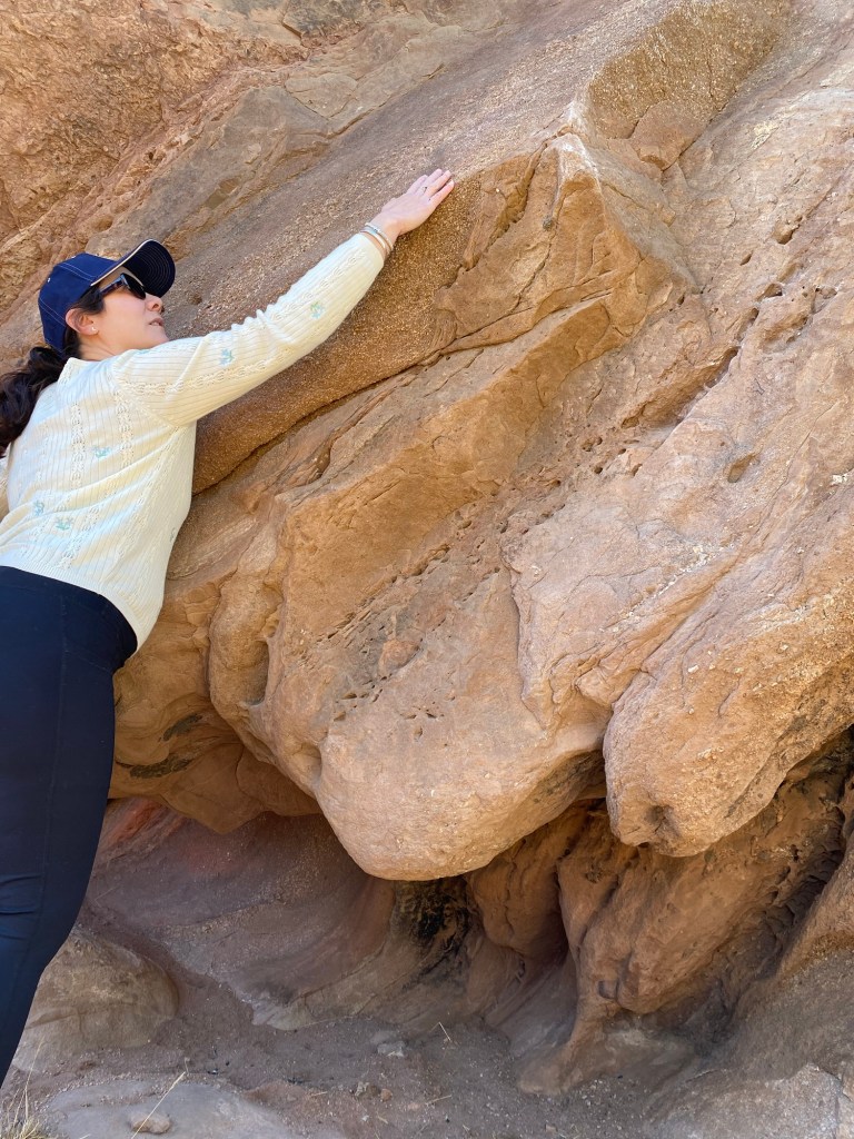
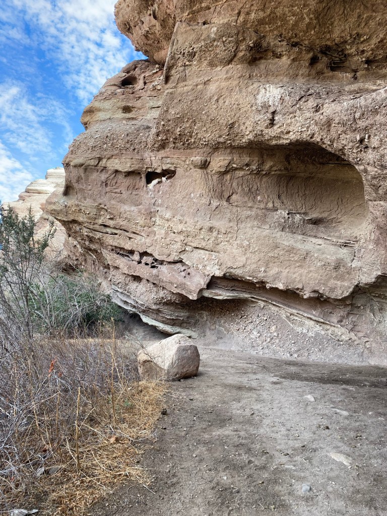
I walked through parking lot 1 outside the nature center and onto the road to the start of the Geology Trail. This trail, relatively flat, was a relaxed start to exploring the geology of Vasquez Rocks. After walking through a few small rock formations, the Geology Trail met up with the Pacific Crest Trail, the famed 2653-mile National Scenic Trail that starts at the Mexican border and runs through California, Oregon, and Washington up to the Canadian border. Vasquez Rocks Natural Area just happens to be right along the PCT, capturing just over two miles of this iconic trail. Not one to miss an opportunity for a new adventure, as advised by the docent, I decided to hike along the PCT to the tunnel that goes underneath SR-14.

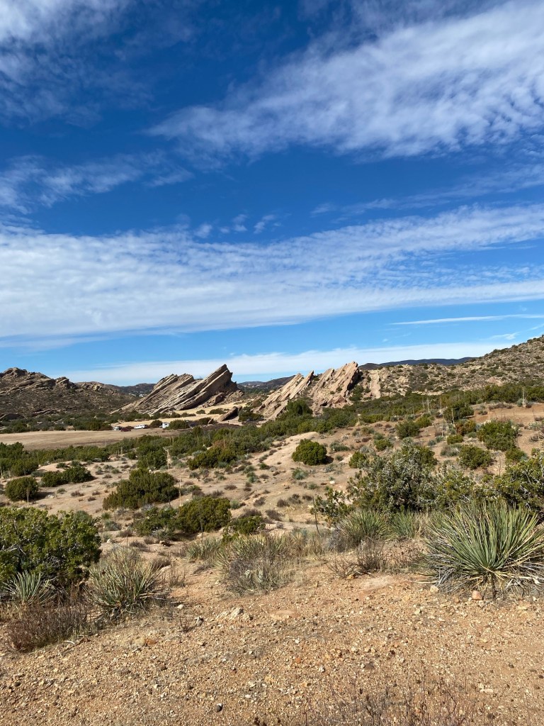
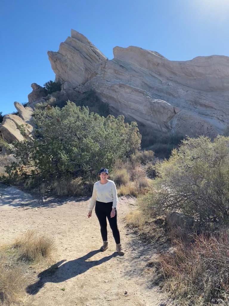
I followed the signs from Geology Trail/PCT to the Homestead Trail. The trail lead out to Famous Rocks, the two large rock structures jutting out from the landscape around it. There I met a nice hiker who offered to take the photo at the top of the post. After chatting for a bit, we went our separate ways. I doubled back to the parking area and onto the Homestead Trail. From there, I just followed the trail signs with the PCT logo, passing the special use area where there were a couple tents and a trailer, eventually hitting the Apwinga Loop Trail. Up until this point, the trails were relatively flat.
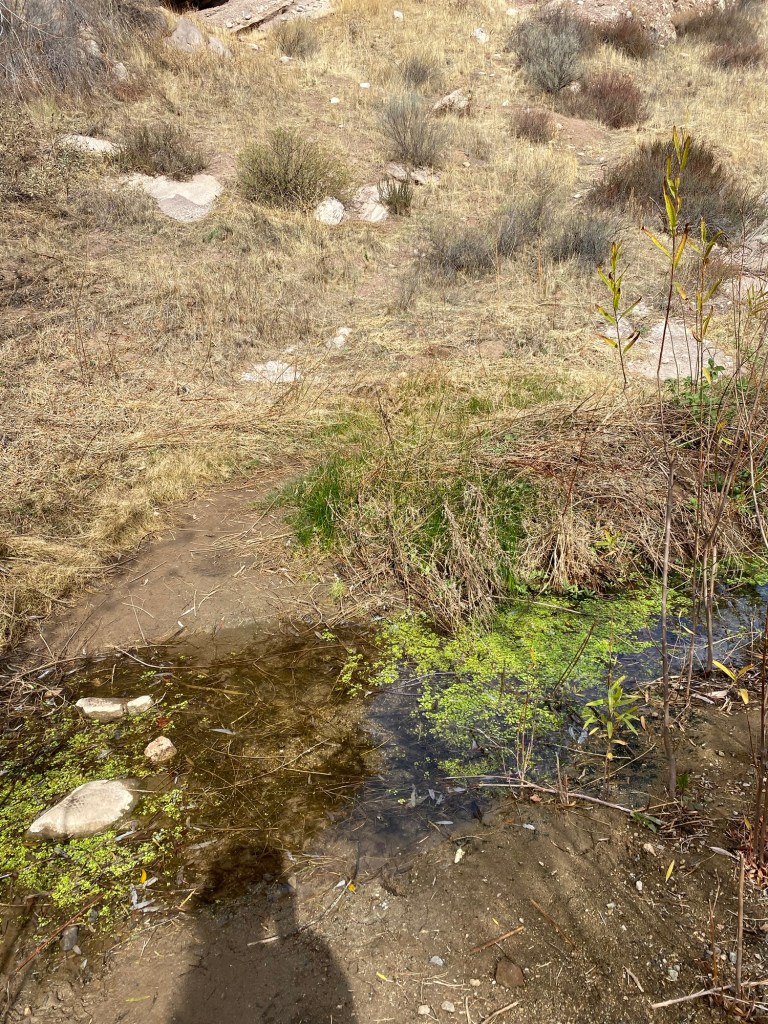
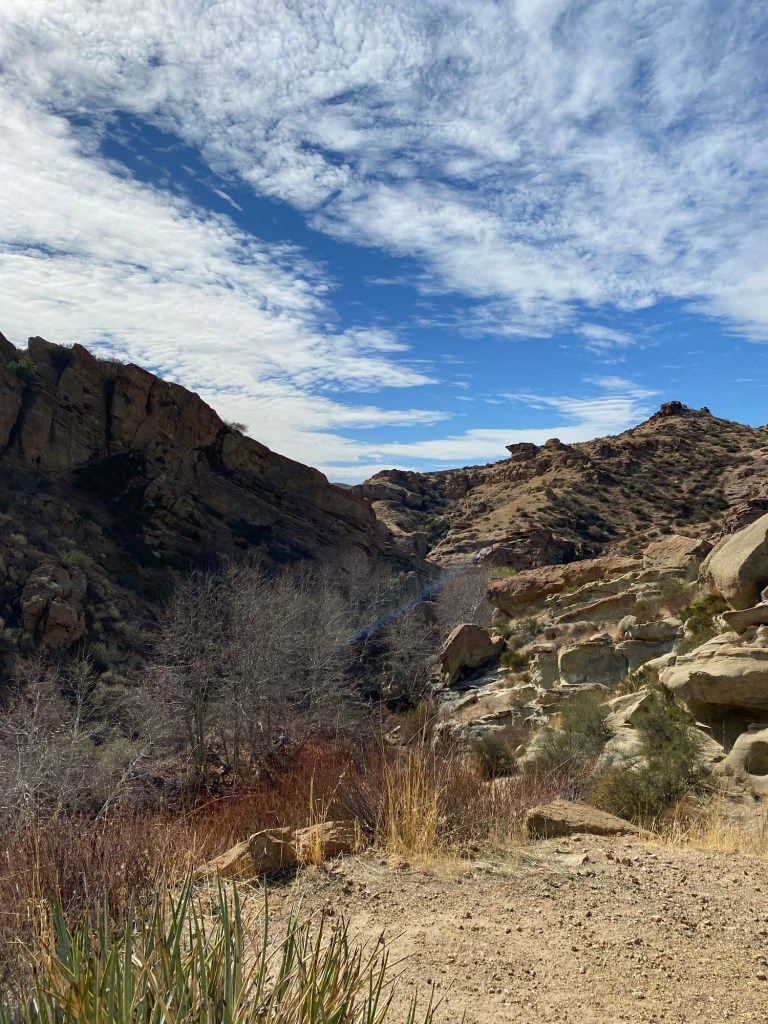
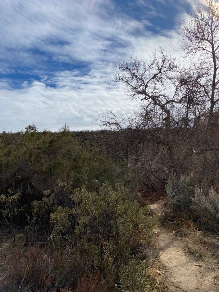
To continue on PCT, I followed the Apwinga Trail down toward Escondido Creek. With the descent, the vegetation changed somewhat from chaparral to a more riparian ecosystem. There was a little water in the trickling creek, enough to wet the soles of my hiking books, but not very high thanks to the dry rainy season. Here I ran into the PCT Trail Gorillas, a volunteer organization who help maintain the Southern California portion of the PCT. I chatted briefly with a couple volunteers to get more information on how to help out. After taking down some info in my notes app- cell signal is pretty nonexistent in the canyon- I continued south toward what I hoped would be the tunnel. I had been getting closer to SR-14 as I trekked along, so I figured I had to be going in the right direction.
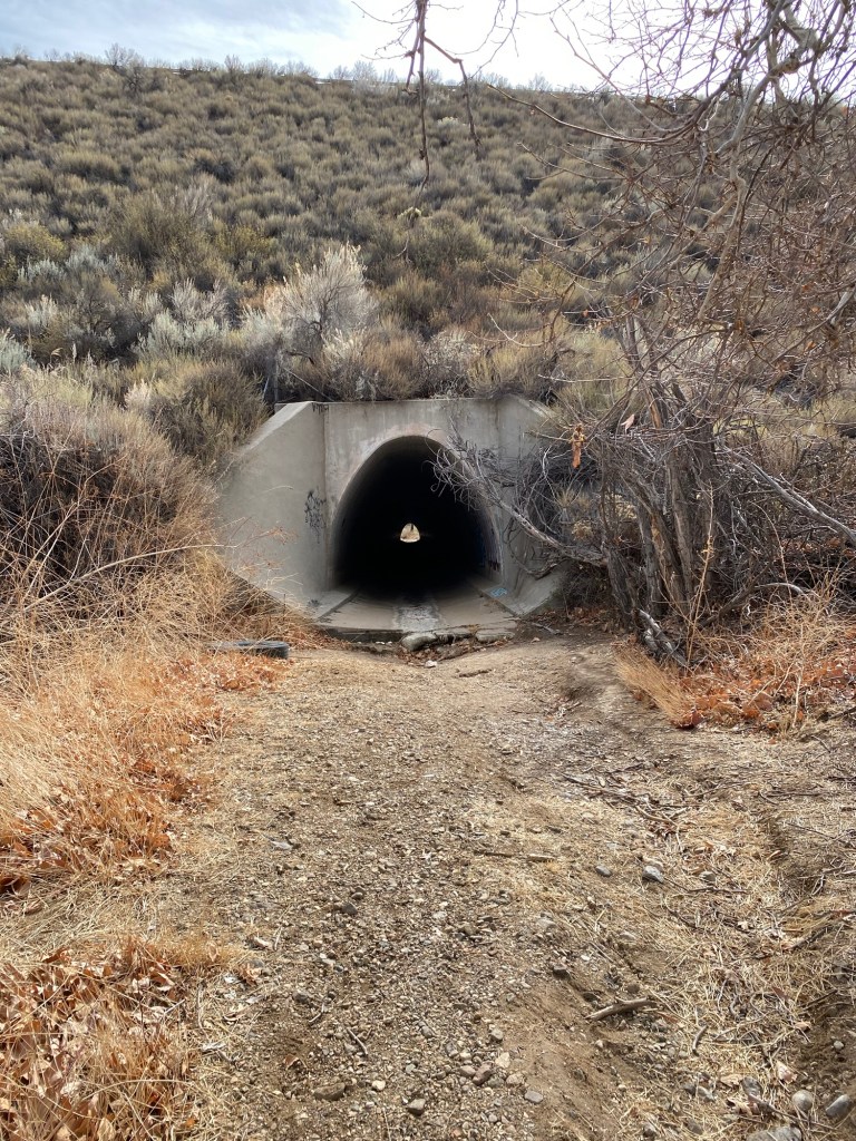
After about another half-mile or so, I arrived at the tunnel. The tunnel was built when California State Route 14 was built in the 1960s. The tunnel allowed for Escondido Creek to continue its flow through the park. It also serves as a passage for wildlife such as black bears, mountain lions, raccoons, and other fauna to cross under the highway. On this day, the tunnel would provide a shady spot for me to eat my snacks, which I did while walking through the tunnel to see what was on the other side.
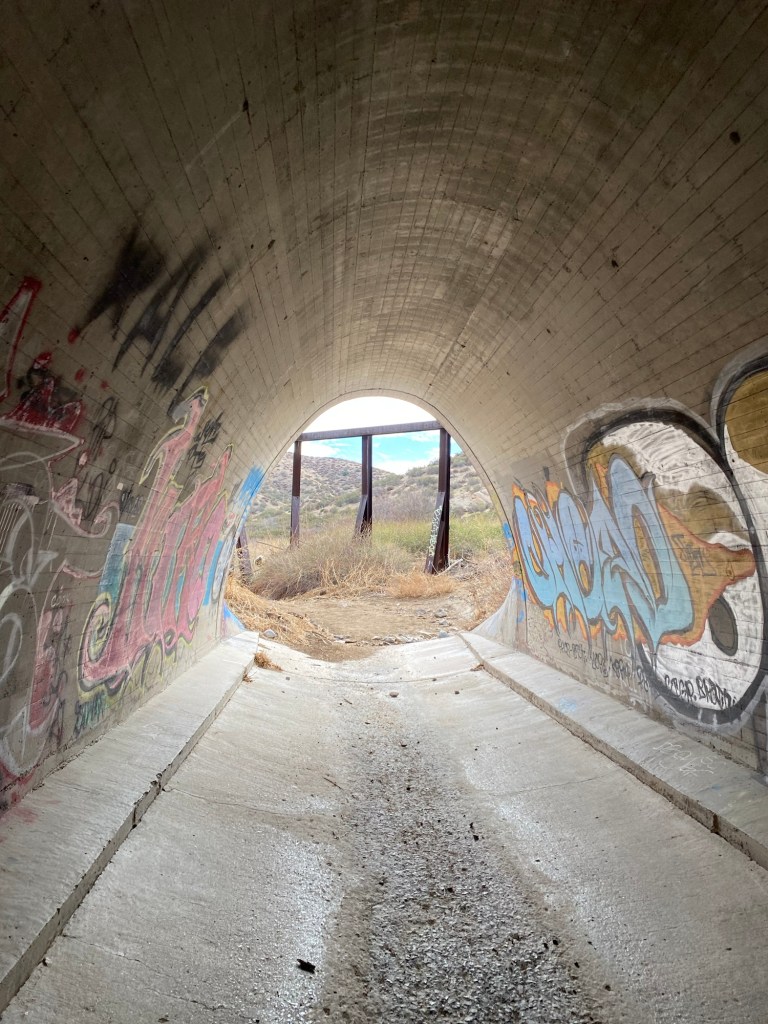
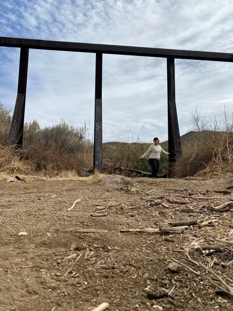
I emerged from the southern end of the tunnel back into the sunlight. There was a large, decrepit looking structure at the end of it, and the southerly continuation of the PCT. I later read online that the metal structure was to prevent larger debris from blocking the tunnel. Makes sense.
After taking a few more photos and contemplating the hike that PCT thru-hikers would have both to the south and for thousands of miles north, I headed back into the tunnel to enter back into the park.
It would have been nice to complete the Apwinga Trail loop and see the other points of interest along the trail, however I was starting to get hungry and it was time to head back home. So I hiked back the way I came, following the PCT/Apwinga Trail uphill to the Homestead Trail. I was able to explore a bit more of the park by walking the Juniper Loop back toward the Famous Rocks then back to the parking lot. One more trip to the visitor center, and I headed out. It was a fun, educational adventure in a place that looked like another planet and still in Los Angeles County.
Some things to consider:
The Vasquez Rocks Natural Area and Nature Center is part of the Los Angeles County Parks and Recreation. The nature center is a nice spot to get information for hikes and other activities in the park. There are nature exhibits, kids activities, and restrooms- always a plus for any hiking adventure.
There is little shade in the park. The day I went was sunny but mild, though I did start to warm up as I exercised. Sun protection and plenty of water are a must.
The trails within the park are very well marked. There is also signage and exhibits throughout the park highlighting different landmarks and points of interest.
The park is closed on Mondays, and has seasonal hours. From November 1-February 28, the park is open from 9:00-17:00. From March 1-October 31, the park is open from 8:30-19:30 as the days get longer. The restrooms close a half-hour earlier. Be sure to check the website for more information.

There is camping at Vasquez Rocks; the catch is that it is for group camping. Indeed, when I visited, the PCT volunteers were camping for the weekend.
Long before the park was part of Los Angeles County, the land was home to the Tataviam people, and was part of the village of Mapipinga. On a sign outside the nature center, there is a land acknowledgement along with a message from the Fernandeño Tataviam Band of Mission Indians encouraging guests to “Visit our homelands with a good heart and open mind.” Visitors are advised to follow leave no trace principles and remove trash and belongings, not disturb wildlife, and be respectful of plants and natural features.
On the same sign, there is a visitor blessing that reads, “We gratefully acknowledge the Fernandeño Tataviam Band of Mission Indians, the Native Nation on whose ancestral lands we gather. We celebrate their past, present, and future contributions of cultural stewardship, Traditional Ecological Knowledge, and preservation of this beautiful land: The Village of Mapipinga, known today as Vasquez Rocks. Through countless generations of careful land management, we are able to see the ecosystems of this ancestral village continue to thrive. We celebrate and elevate the voices of the Tataviam, and invite you to learn more about the history of this land and her people. May all who visit find this sacred land a place of peace, enjoyment, and connection.“
I did find this land a place of peace and connection. The montane chaparral, with its aromatic sagebrush and California juniper set against dramatic rock formations, was calming to my soul amidst the heartache and busyness of this current season. I hope to visit again, to explore more and to appreciate the scenic beauty that is Vasquez Rocks.
References:
Most of the information in this post came from the ample signage throughout the park. There are many opportunities to learn about the history and ecology of the region both in the nature center and along the trails.

4 thoughts on “Pacific Crest Trails: Vasquez Rocks”