

With the fire restrictions in effect for the Angeles National Forest through the end of 2025, we set out to find areas within a two-hour drive from the San Gabriel Valley where we could safely camp and adventure. This search took us north into the Los Padres National Forest, in the vicinity of Frazier Park off of Interstate 5.
On the first weekend in September, we headed up I-5 to check out the Chula Vista Campground and the hiking trails around it. Our goal was to hike to Mt. Pinos, the highest peak in the area at 8839 feet above sea level.
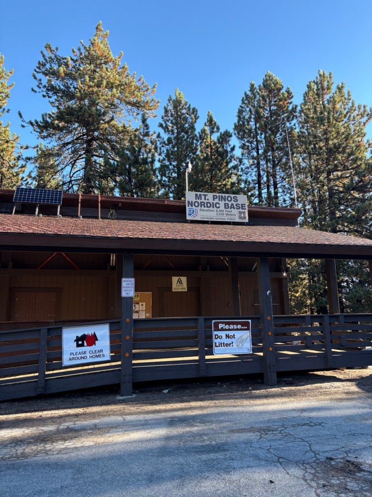
We parked at the Mt. Pinos Nordic Base at the end of Cuddy Valley Road in the Los Padres National Forest. The nordic base is the first aid and operations base for the Nordic Ski Patrol. Considered a backcountry ski area, Mt. Pinos is popular during the winter months for nordic and cross-country skiing. In non-snowy months, it’s a great place for hiking and camping.
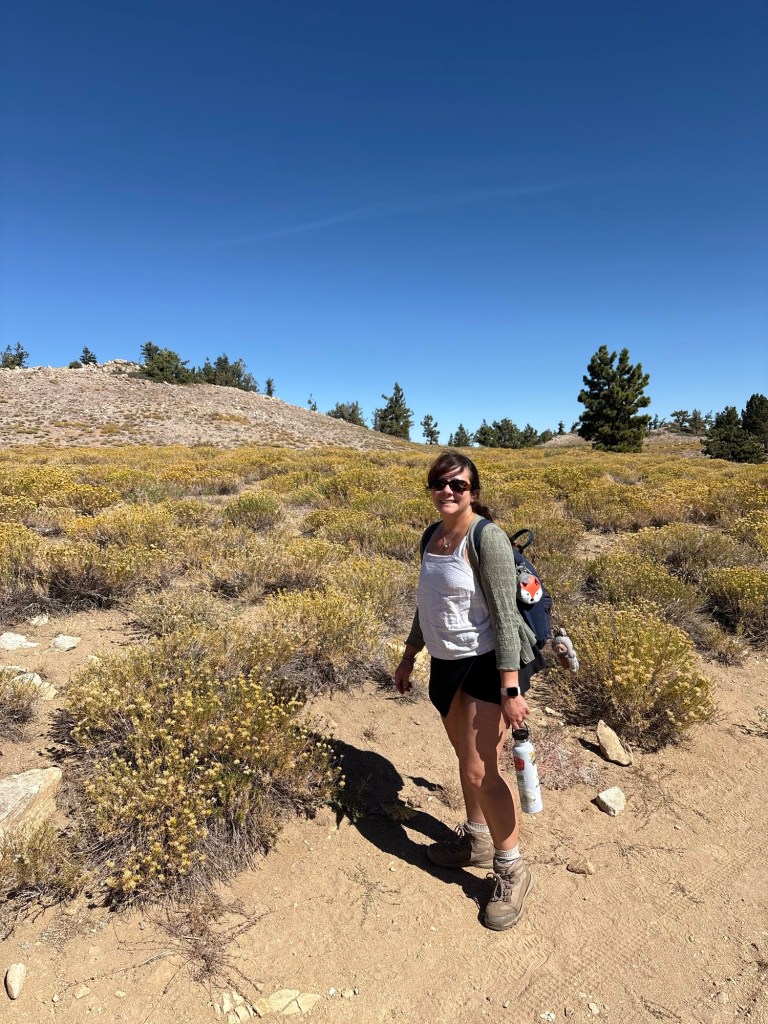
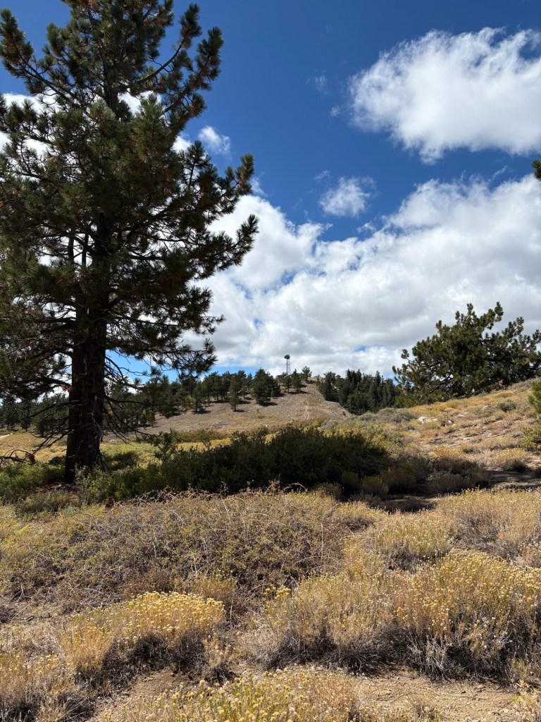
From the nordic base, we followed the signs at the beginning of the parking area up the hill to Mt. Pinos. We saw that the cross-country trails were well marked, and there are routes for beginners and more advanced skiers alike. As it was the end of summer on our hikes, we stayed on the main dirt trail to Mt. Pinos, which was clear and easy to follow. Once we passed the section of the trail shaded by pine forest, the trail took us through meadows with small flowers still in bloom. This was really pretty against a brilliant blue September sky.
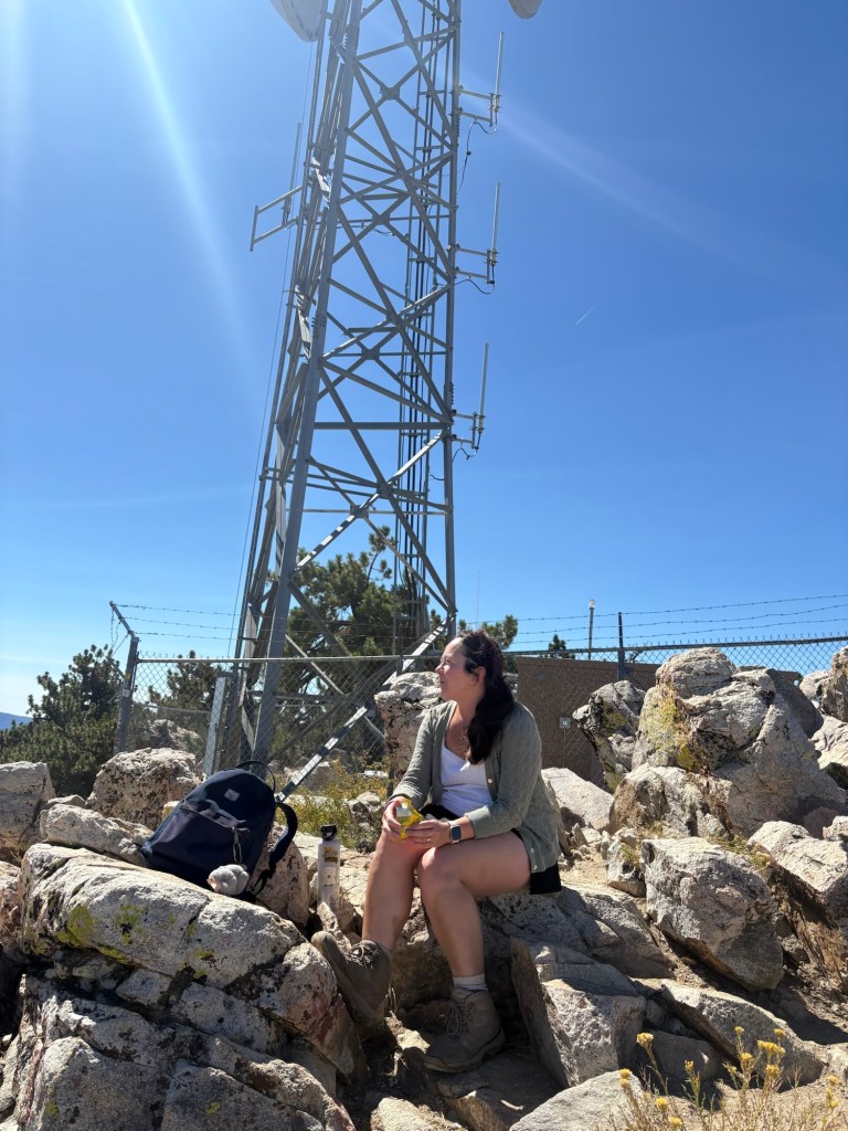
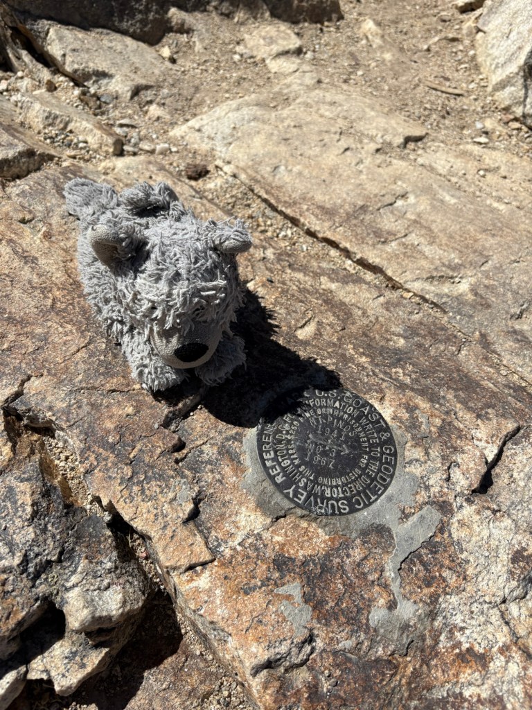
We took some photos, then continued on, hiking toward the radio towers. After about two miles or so and about 600 feet of elevation, we came to the radio towers and the summit of Mt. Pinos. The USGS marker indicated to us that we were in the right place, and the pile of rocks made for a nice snacking spot.
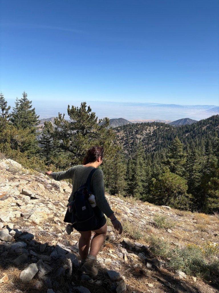
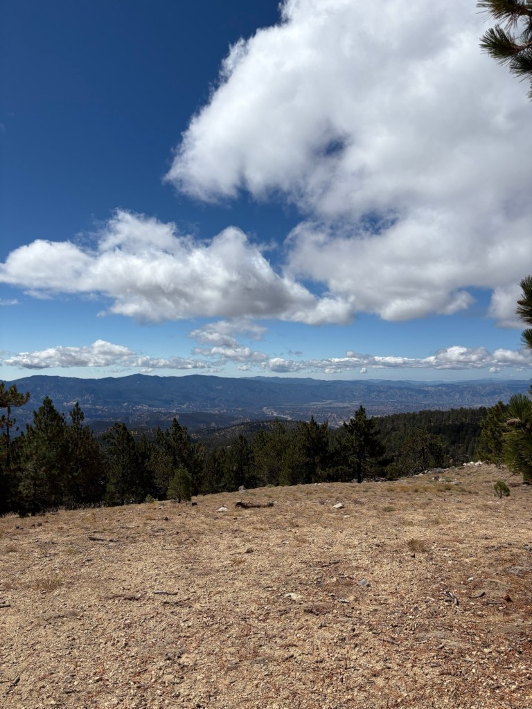
After taking a rest while enjoying the views of California’s Central Valley and the Mojave Desert in the distance, we begin our descent back to the parking area. To get down, we took a small, scenic side trail and carefully made our way to the main trail. I am being a little dramatic here; it really was not that difficult. But it was rocky in parts, and I was careful so as not to slip. As I’ve gotten older, I find myself having a bit more of a fear of falling, so I tend to move a little more slowly, sometimes to my detriment.
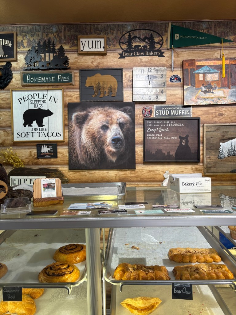
After another two miles, we made it back to the car, and by then were ready for some lunch. I had cell service for most of the hike, so I was able to find a nice little cafe in Pine Mountain Club. We backtracked down Cuddy Valley Road, then turned onto Mt. Pinos Road, following signs for Pine Mountain Club. We lunched at the Bear Claw Cafe, which offered simple but delicious sandwiches on fresh bread, and a selection of coffee drinks and pastries.
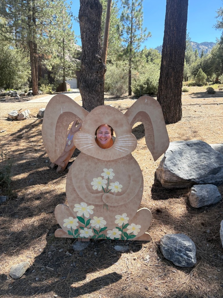
We finished our lunches and walked around the quiet shopping area. The shops are located near the resorts, with a general store and a few other cafes and kitsch souvenir shops. There was also a fun little photo area. I of course had to take a photo with the cheesy bunny cutout.
It was a fun little romp in the Los Padres National Forest the first weekend in September. We headed back down the mountain and back to real life after a new adventure. But we did return to camp two weeks later and to explore a little more of the area.
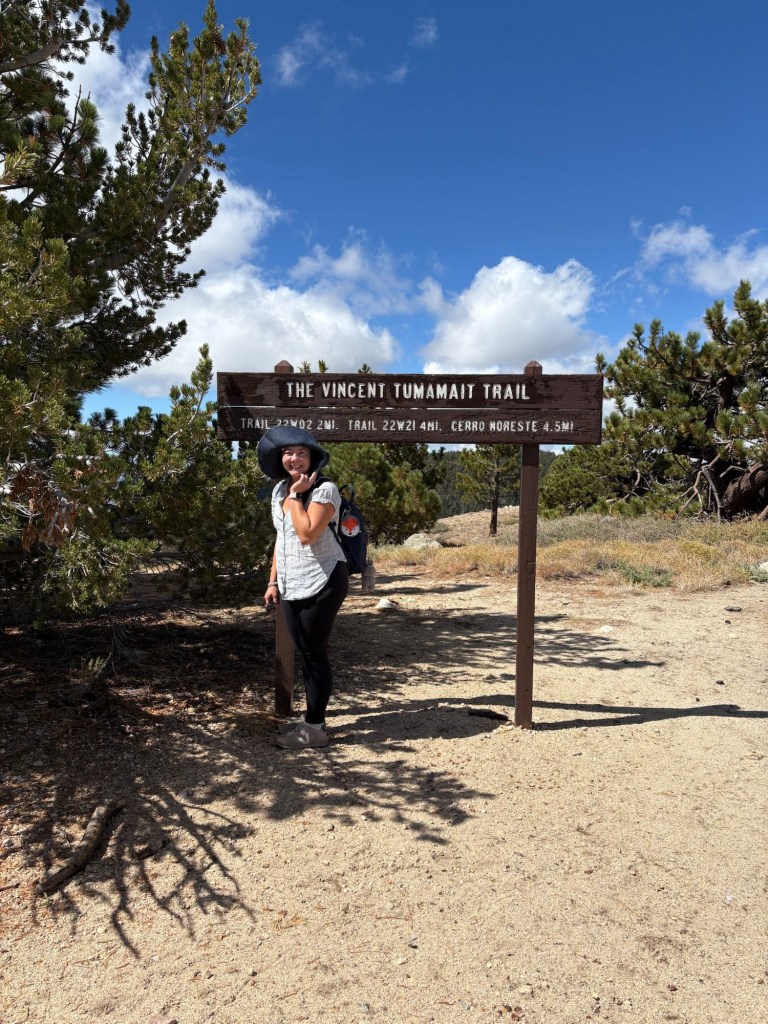
On our second weekend hiking Mt. Pinos, we took a slightly different route before getting to the summit. This time, from Chula Vista Campground, we headed first to the Condor Observation Point. We didn’t see any condors, but the views into the Sepse Condor Sanctuary in Ventura Country were pretty impressive. There is an interpretive site that has more information with regard to the different plants and animals that can be found at Mt. Pinos, as well as a memorial to Vincent Tumamait, a Chumash elder and beloved storyteller who worked to help preserve Chumash history and culture, after whom the trail is named.
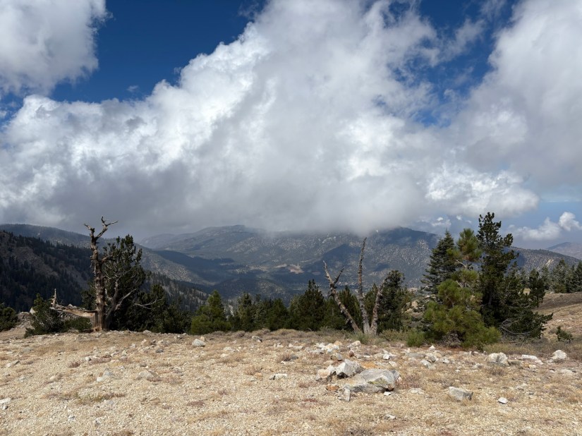
We followed the trail to the viewpoint, which had a little table and expansive views of Sawmill Mountain and the San Emigdio Mountains which straddle Ventura and Kern Counties. The views were particularly pretty the days we camped with the partial cloud cover against bright blue skies.
After taking in the views at the observation point, we hiked up to Mt. Pinos, then back to the campground. In total, we did about five miles, with a 747 foot elevation gain. It would have been fun to complete Sawmill Mountain- one of the Six Pack of Peaks– since we were so close, but as I was hiking in a group with younger Scouts on this particular Saturday, it would likely have been too much. I guess I’ll just have to return in the spring to bag that peak. But no complaints; it was a fun trek, and the views were spectacular.
Some things to consider:
The nordic base, campgrounds, and trails are all part of the Los Padres National Forest. The parking lot for the nordic base is quite large, and on both weekends, there was ample parking. An adventure pass is required to park in the lot. If you are planning more adventures on national lands, I suggest the America the Beautiful Pass. These can be ordered online, as well as picked up at REI and visitor centers at national parks and monuments. At $80, this is well worth the cost for a year’s worth of adventures on federal lands.
Speaking of parking, while I was able to find parking on the third weekend in September, the lot was significantly more packed. This is because there were a number of campers who were out looking at the night skies to see Saturn and do some stargazing. We met a really nice couple who had their telescope set up, and I was able to view the Andromeda galaxy. With little light pollution and the clouds clearing up enough to see the skies, the stargazing was incredible.
The trails we took offered very little shade once we were past the cover of the conifers. Sun protection and plenty of water are recommended.
The weather can be changeful in the higher elevations, especially as winter approaches. Please note that Cuddy Valley Road and Mt. Pinos roads may close depending on weather conditions. Interstate 5 through the Grapevine may also be subject to closure or delays in cases of severe weather. Be sure to check CalTrans for current information on I-5 or CA-33. Information on Cuddy Valley or Mt. Pinos roads can be found at the Kern County site.
Snow play is popular during the winter months. Please note that an adventure pass is required to park along Cuddy Valley Road. Also be sure to follow guidance on snow chains, and be sure to carry them between November through April, just in case. We learned the hard way when driving in Calaveras County how quickly the weather can change.
There are several campgrounds in the area of Mt. Pinos. We stayed at the Chula Vista Walk-in Campground. The campgrounds were clean, with a fire ring and picnic table at each site, and nicely shaded by tall Jeffrey pines. There are even some large group areas. The are some drawbacks, however. There is no water on-site, so you’d have to carry that in. Trash is pack in, pack out, as there is no trash service. Lastly, the vault toilets were not the worst, but they were not as pleasant or updated as other campgrounds I have stayed at in the Inyo or Stanislaus National Forests.

Nevertheless, exploring in this part the Los Padres National Forest was a great way to spend two weekends in September. I hope to return to explore more, and maybe even take the girls and the bunnies for some snow play this winter. This is just a snapshot of what there is to offer at Mt. Pinos and beyond. Whether by skis or by hiking boots, just pick a happy trail and go.

References:
“Obituaries : Vincent Tumamait; Helped Revive Chumash Culture.” Los Angeles Times, 12 Aug. 1992, http://www.latimes.com/archives/la-xpm-1992-08-12-me-5167-story.html.
