I’ve been enjoying my adventures in Claremont Wilderness Park for a few years now, starting back when I used to hike the loop trail with best friend Owen. Since then, I’ve hiked the familiar trail with friends, family members, and even Scouts. On every hike, about half-way along the loop, we’d pass the sign for Potato Mountain. I had not much of an opportunity to explore that part of the park, as I usually only budget time for the five-mile loop. So this past weekend, looking for adventure after a super-busy workweek, we decided to try something different.
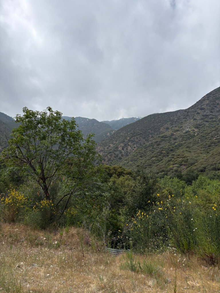
Potato Mountain is a 3422-foot summit at the start of the San Gabriel Mountains. Why it’s called Potato Mountain is anyone’s guess; there is apparently nothing to do with potatoes in its history or geology. But it does provide some nice views of the valley below and a nice workout.
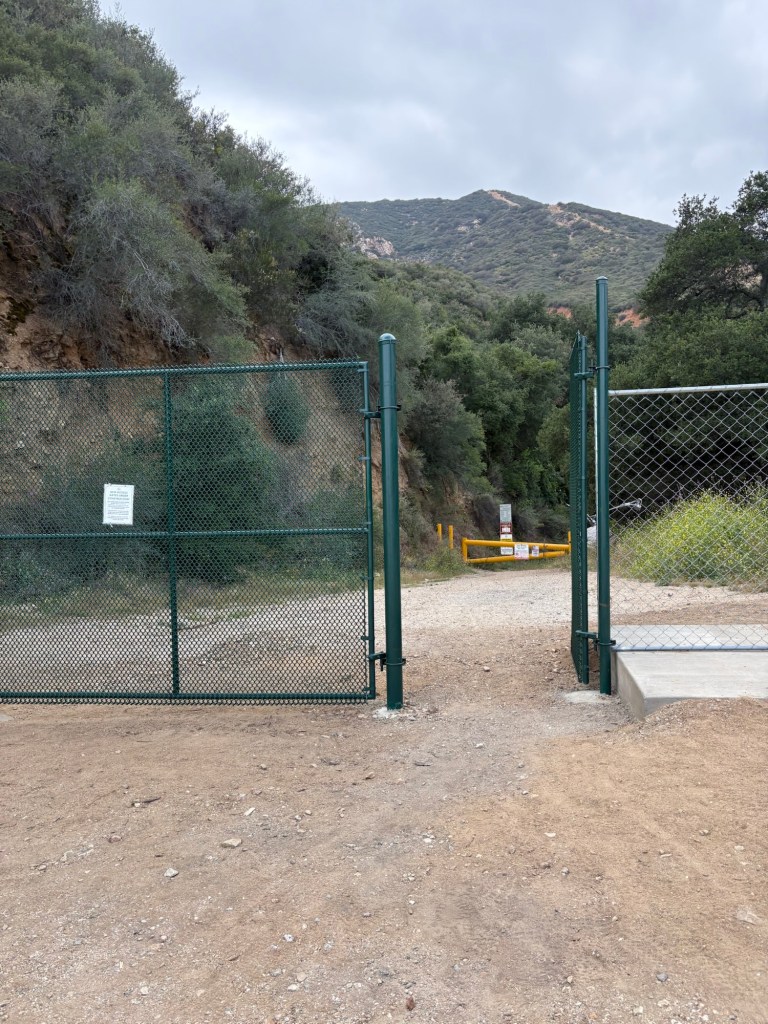
Following guidance from AllTrails, we headed up Mt. Baldy Road to the trailhead for Potato Mountain. Unfortunately, we found that the parking area we followed the coordinates to was a dud. There is a gate which allows for pedestrian, bicycle, and equestrian traffic along with signs prohibiting cars from passing or parking. Unsure of what to do, we drove a bit farther along Mt. Baldy Road heading north to see if there were any places to park in the numerous turnoffs along the road. About a half-mile past the gate, we found a large area with no signage indicating we couldn’t park. We parked the Subie and after applying sunscreen and bug spray, we hiked back down to the trailhead.
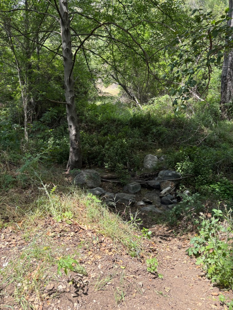
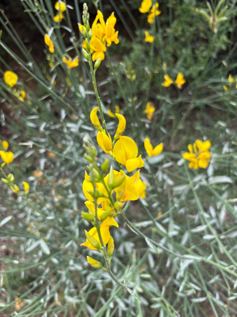
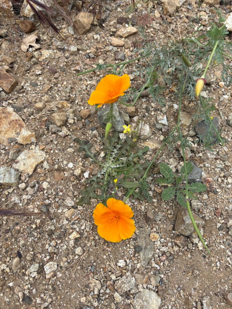
We passed through both the new gate and the older yellow gate and onto the Palmer Evey Motorway. The trail follows Evey Canyon, which is currently very green. A small stream runs through the canyon, providing the water for a shaded riparian forest of alders and oaks. With the start of the year providing some good rainfall, the wildflowers were also in bloom. Add to that a cool wind blowing in the canyon and it made for some perfect hiking conditions.
It was a pleasant trek through the quiet canyon. The trail is wide and not very trafficked, possibly due to the parking restrictions. Additionally, the uphill climb was fairly gradual, which allowed for me to warm up for what lay ahead. There are also some very nice views of the higher peaks, especially as we got closer to the turn to head up Potato Mountain.
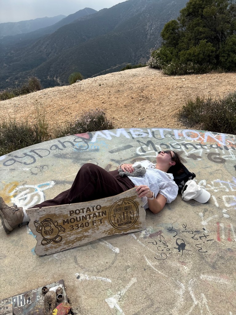
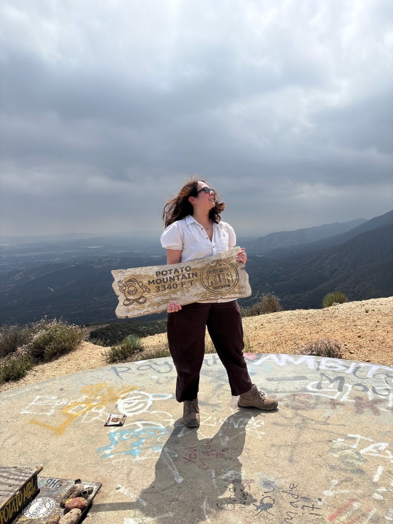
About mile-and-a-half in, we came to the turn off for Potato Mountain. We followed the trail left, and after heading downhill for a bit, we huffed up the steep climb to the peak. After not hiking for a few weeks, I was on the struggle bus for this part of the hike, and it felt less pleasant. But fortunately it was only about three-quarters of a mile to our destination. We were greeted by the graffiti-decorated water tank and a small monument made from a pile of potatoes, denoting the summit.

We climbed onto the water tank to take photos and eat our trail snacks. There were several other hikers at the summit also exploring around and taking photos, but it was still pleasantly quiet. Even so, the weather was feeling more like rain at that point, so we decided not to stay too long. We began the hike back down after taking pictures pretending to be couch potatoes.
The hike up took just under an hour to go 2.2 miles. Heading back down was significantly faster; my total move time according to Strava was 2 hours, 17 minutes, including the hike to and from the car. Elevation gain is 1145 feet, making this hike a nice workout, but one that’s not too difficult. The hike is rated moderate according to several hiking sites. For me it felt a little more than moderate as I am currently getting my fitness back up, but it was still a fun little trek.
Some things to consider:
Perhaps the worst thing about this hike was parking. There is signage noting that parking for the trail is on Mills Avenue. This is the parking area for Claremont Hills Wilderness Park, and where we typically park when we hike the Five Mile Loop. Most of Mt. Baldy Road has no parking signs at time of writing. We happened to find a large turn out past the Angeles National Forest sign that had a few parked cars and no ‘no parking’ signs. I am not sure I would recommend that now as there were many other areas that looked like they had once been lots only to now be signed ‘no parking.’
The safest bet when it comes to where to leave your car are the lots on Mills Avenue. These are paid lots. Current rates can be found here. Parking in the Angeles National Forest requires an Adventure Pass.
The other potential drawback is that hiking from the wilderness park adds an extra four miles or so to the hike. This is not necessarily a bad thing, especially if looking for more of a workout or a longer adventure. Just be sure to plan accordingly.
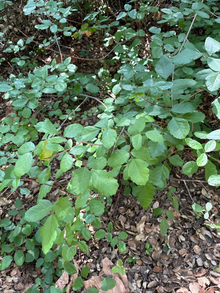
Poison oak was in abundance on the day of our hike. As I found out from personal experience, the reaction caused by Toxicodendron diversilobum is no joke. I experienced the itchy symptoms of contact dermatitis for just over a month and needed the aid of a potent steroid cream to help aid in healing. Fortunately the trail is wide enough to avoid the toxic, but ecologically important native plant.
The trail is relatively shaded through the canyon. While the sun was not out for our hike, there are some areas where shade would be limited, especially toward the summit. As always, plenty of water and sun protection are a must.
This really was a fun hike, and a great way to get back into a healthier routine. I love being so close to the mountains and resetting in nature. And with the abundance of recreation in our city parks and nearby national forests, there is much adventure to be had. Just pick a happy trail and go!