

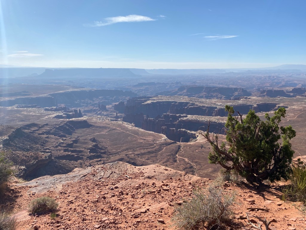
Canyonlands, as its name suggests, is a literal land of canyons- carved out of sandstone and other rocks formed from eons of sedimentary deposition and geologic uplift that happened millions of years ago. The Colorado and Green Rivers meet here in a confluence on the Colorado Plateau, and those rivers have, over time created the canyons that give the national park its name.
Perhaps surprisingly, Canyonlands is the largest national park in Utah. At 257640 acres, it is larger than the more visited Arches, and is divided up into four distinct districts: Island in the Sky, the Maze, the Needles, and the rivers. I also thought Canyonlands was more diverse in terms of its geology and interesting features. In addition to meandering canyons, the park has needle-like spires, balanced rocks, and towers, all created by the erosion that happens with summer storms or that which happens with the freezing and thawing of water as it seeps into cracks in rocks. There is also an impressive arch, the 27-foot long Mesa Arch in Island in the Sky, which overlooks the canyon at cliff’s edge.
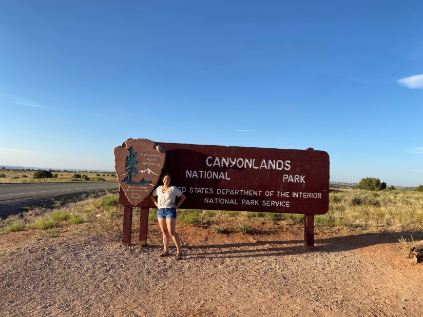
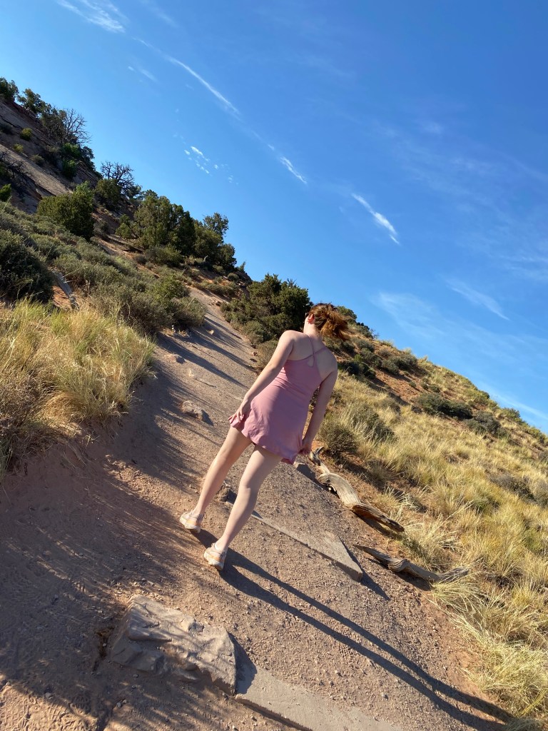
We started our first full day in Utah early after a night’s fitful sleep, interrupted by the strong night winds blowing against our tents. Sami had wanted to see the arch at sunrise as suggested on many an Instagram feed. However, following a busy day of travel the day prior, we figured that we would not be making it in time for the sun to come up, but we could still head to the park early in the morning while the light was still favorable. So that is what we did. After a camp-food breakfast, we headed out on our first national park adventure of the trip.
The drive to Canyonlands from Moab was relatively easy. The trek on U.S. 191 to Utah 313 was only about 35 minutes with little traffic at 7 am, and there was no one at the entry kiosk that early. While there were a few visitors, there were not nearly so many as there were at Arches later in the day. I think it did help to go early. Parking at the various points of interest was really easy, and while the visitor center was closed, we had come prepared with our junior ranger books already printed out. So after a quick stop just after the gate to use the toilets and look at the canyons from the first viewpoint, we set out to check out a few trails within the Island in the Sky District.

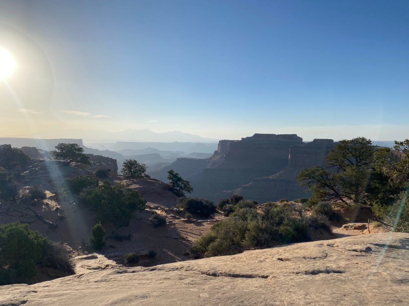
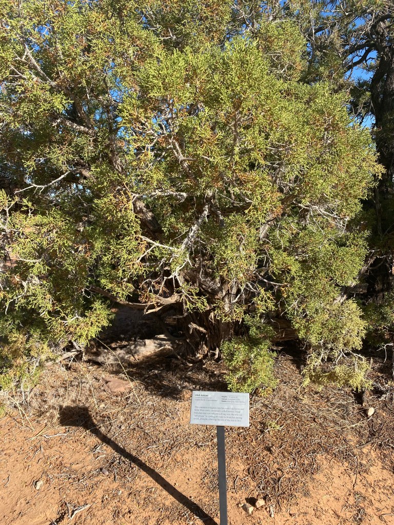
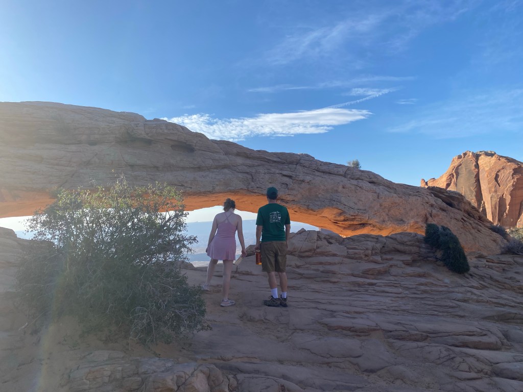
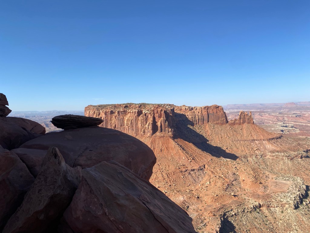
Our first hike was to the Mesa Arch. The trailhead was about six miles from the visitor center, and it was an easy half-mile or so hike. The trail was clear and well marked with stacked rocks forming cairns to keep folks heading on the right path. In addition, the plants were also labeled for easy identification, much as one might see while on a nature trail. Even with taking a myriad of photos, we arrived at the arch within a few minutes. We were not disappointed. The arch itself looked pretty cool to me, but even more impressive was the view below. Mesa Arch is on the edge of the cliff, and not only can you see the tall canyons below, you may also see the La Sal Mountains in the distance. Even with a bit of haze, the scenery was phenomenal.
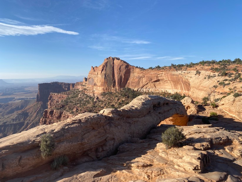


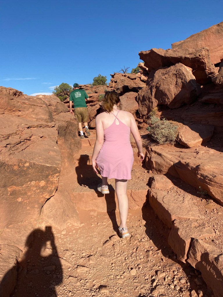
After hanging out at the arch, taking photos and talking science, we hiked back to the car to continue down the scenic drive. After another six miles, we arrived at the end of the Island in the Sky scenic drive and the trailhead for the highly recommended Grand View Point Overlook and the Grand View Point Trail. Much like the Grand Canyon, the trail takes hikers along the rim of the canyon, with stunning views of the canyons, cliffs, spires, and needles. The trail to the second overlook is about 1.8 miles out-and-back, and is considered easy. There are some steps and rough points and so is not considered accessible. The trail is rather wide, but there are no guard rails, so keeping an eye on kids (and teenagers, for that matter) is a must. That said, it was an absolutely gorgeous hike, and the clear, sunny day was perfect for our excursion.
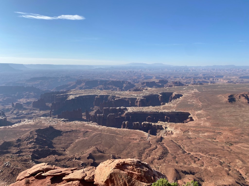
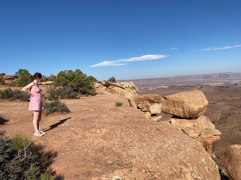
When we arrived at the second view point, we were pleasantly surprised to find that we had cell service again. We were told that if you would see the La Sal Mountains, then you would likely be able to get a signal, at least if you are a Verizon customer. I was surprised that my upload speeds were faster in the middle of nowhere than in the evening on my home wifi. Go figure. We took a few photos and had some water before heading back to the parking area.
We then backtracked up the road and headed to Upheaval Dome. This area of unique rock deformation has rocks that are pushed upward in what is known as an anticline. There are a couple theories that explain why this phenomena may have happened, according to the National Park Service. The first thought is that thick layers of salt formed form the evaporation of ancient seas were able to move and form salt bubbles. Eventually, this process formed salt domes, one of which could be responsible for the deformation at Upheaval Dome. The other theory, and the one that is more prevalent is that the dome was the result of a giant meteorite that pushed up the material and erosion over time exposed the rock layers that form the interior of the impact crater. Recent scientific evidence favors the impact crater theory- as do I, if only because it is more interesting to think about than a salt dome.
As the morning progressed and the winds started picking up again, we headed back to the visitor center to complete our junior ranger books. Sami had taken a short nap in the car and fortunately was ready to participate once we arrived. The ranger assisting us at the visitor center was really cool, and had many interesting facts about the park and the surrounding areas, and she took the time to actually read our books. We were ‘sworn in’ as junior rangers, and after receiving our wood badges, we did a bit of souvenir shopping before heading back to Moab. The morning’s trek was complete, and we hit the road again in preparation for our next adventure.

Some things to consider:
Canyonlands is quite large, and there is no road that connects all four districts. We stayed in Island in the Sky for this trip, as it was closest to Moab, but more importantly, could be pretty well accessed with a regular two-wheel drive vehicle. The Needles can also be accessed via paved roads, but is further south along Utah highway 211. The Maze is accessible via an unpaved four-wheel drive road. We were not going to try that one in our minivan, regardless of all the other questionable roads we had taken my poor Sedona on through the years of Scout trips and family vacations.
There is very limited cell service while in the park and in its vicinity. It was true that we caught a pretty good signal from Grand View Point, but this was unique to that area. For the most part, we were pretty well disconnected. Be prepared for a time away from email and social media, but also no service in the case of an emergency.
We brought plenty of water, sunscreen, and snacks. The weather was very pleasant in the morning, but it was windy and we did catch a bit of sun. There is potable water available at the Island in the Sky Visitor Center as well as at the Needles.
I think it did help to visit the park early. On the way out it was definitely starting to get busier and the day was starting to warm up. Still it was not as busy as Arches would be later, and timed entry or other reservations are not required to go into Canyonlands.
Fees though are required to enter the park. As always, I recommend the America the Beautiful pass, available for purchase at REI, U.S. Parks Pass, or at the national parks themselves. At $80, it is a deal especially if you are planning on visiting multiple parks or other federal lands. And if you have a fourth grader, the Every Kid Outdoors program allows for kids in grade four and their families to access national lands for free. The program year runs from September 1-August 31. Nate and Sami received their park passes during their fourth grade years, and that enabled us to visit a number of national parks and monuments without charge.
Our Canyonlands adventure was pretty awesome. We stood in wonder at the vastness of the park and its varied geology and biodiversity even in a semi-arid plateau. One day I’d like to return and visit more of the park, maybe even renting a Jeep to explore some of the less traveled roads. Even so, our adventure in Island in the Sky was full of happy trails.

References:
“Geology.” National Parks Service, U.S. Department of the Interior, 2022, http://www.nps.gov/cany/learn/nature/geologicformations.htm.

6 thoughts on “Canyonlands National Park”