

UPDATE: Flash flooding is a possibility during the summer months. Just one week after our visit, thunderstorms in the vicinity resulted in flash flooding that rushed through Grand Wash, totaling vehicles and trapping park visitors and even a few park rangers involved in the rescue. Fortunately, everyone was able to be rescued according to KSL News, and there were only minor injuries, but this event highlights the importance of being weather aware. Flooding can occur even when the storms are not directly overhead, but someplace in the watershed upstream, so to speak. At time of publishing, Capitol Gorge, Grand Wash, and portions of Scenic Drive are closed due to the debris caused by the flooding. Crews are working to clear the debris. Check nps.gov for more details. For updated flood risk, you can also check weather.gov.
Of the three Utah parks that we visited on this trip, I was rather surprised to find that my favorite was Capitol Reef- hands down. And it wasn’t just because there was pie- although, pie definitely was a plus on this trip. But I’m jumping ahead a bit.
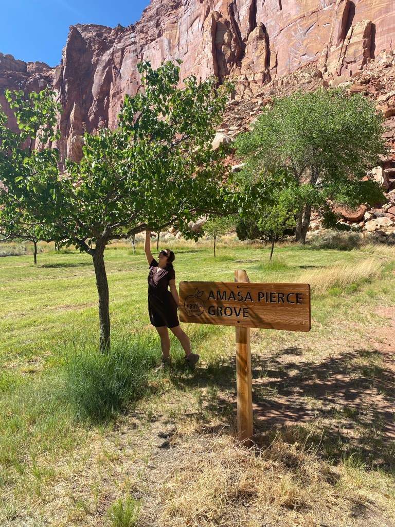
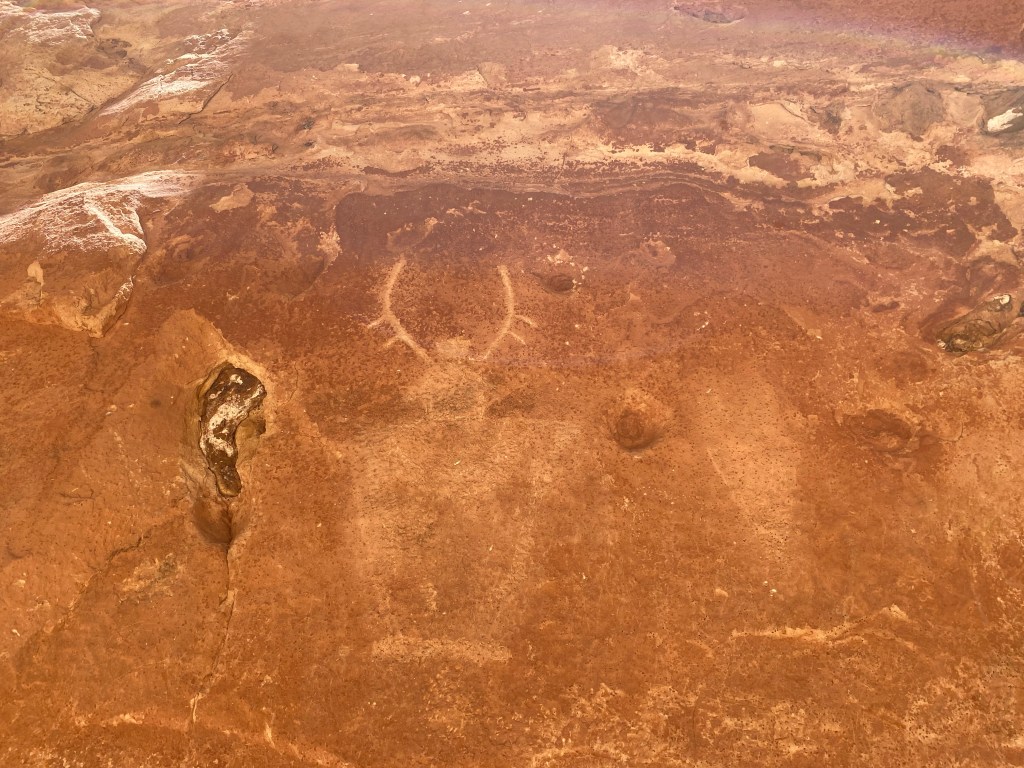
Capitol Reef has a long history prior to it becoming a national monument when President Franklin D. Roosevelt designated its status in 1937. The Fremont ancestral people, so named for the Fremont River that runs through the park, called the area that is now Capitol Reef home from about 300-1300. They were hunter-gatherers who began to incorporate the farming of beans, corn, and squash to supplement their diets. The floodplains made for fertile soil and natural water sources enabled farming. The petroglyphs in Capitol Gorge and those along Utah Route 24 tell of their existence and story. Fast forward over 600 years, and another story is woven into the fabric of Capitol Reef’s rich history. In 1880s, Mormon settlers began arriving in the area of Capitol Reef, in the area that became the town of Fruita. They planted orchards and built a self-sufficient community, which included a schoolhouse that is still standing today. The area supported no more than 10 families at a time, and ownership of the land changed over the years. Thanks to one of the last settlers, the Giffords, we have the Gifford House today, along with some examples of what life may have looked like back in the day. The Gifford House is also where you can buy a variety of small but delicious fruit pies and other souvenirs. The National Parks Service maintains the surrounding orchards utilizing historic methods today, and visitors can even pick fruit from the orchards when it is in season.
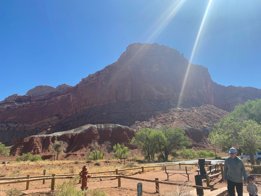
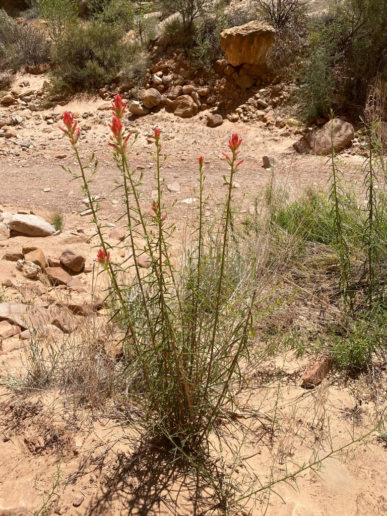
In addition to its varied history, Capitol Reef has some interesting geology. The main feature within the park is the 100-mile long monocline fold called the Waterpocket Fold. This warping of the rock running north-south through the park and beyond is responsible for the unique geologic formations within the park, which include canyons, potholes, and natural bridges.
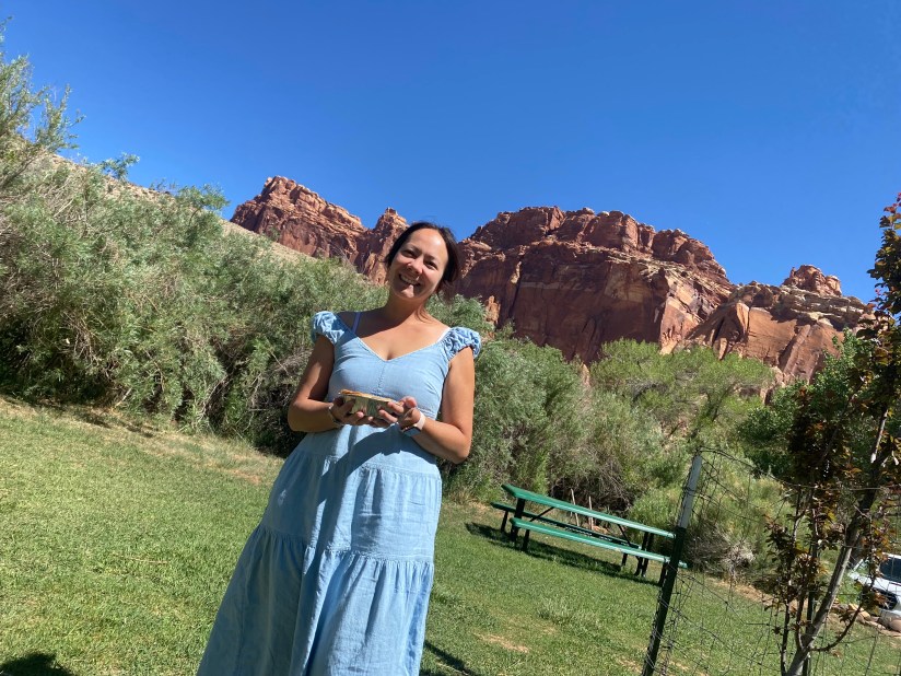
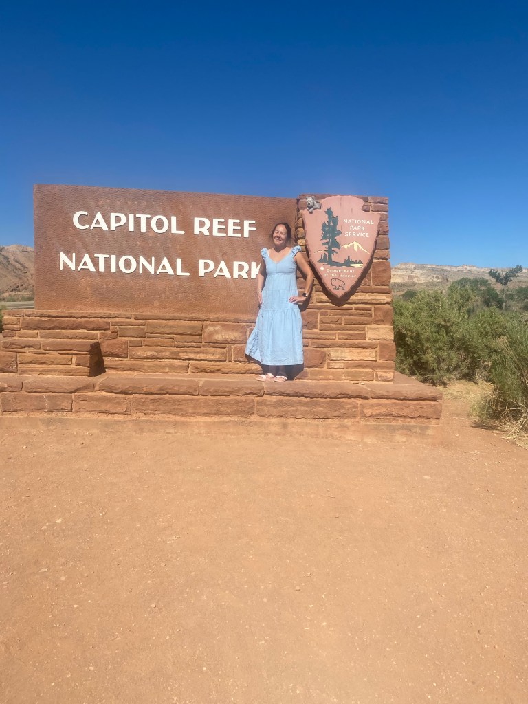
We arrived at Capitol Reef National Park mid-morning on our third day in Utah following a two-and-a-half hour drive from Moab. The sun was high in the sky, but the day was pleasant in southern Utah, and unlike Arches the day before, the park was relatively quiet. There were some park visitors, and the visitor center was quite busy when we went in to watch the required video to complete our junior ranger books and ask for suggestions on how to order our planned activities. However, Capitol Reef does not attract the same crowds as Zion or Arches. That said, park visitation is still on an upward trend, as is the case with many sites within the national parks system.
After watching the video and answering the related questions in our books, we hopped back in the car and headed to the Gifford House. Unfortunately there would be no fruit picking for us on this visit; a hard frost about two weeks prior damaged the fruit that was already on the trees, and while the trees were still producing, it would be another couple weeks before that new fruit would be ready to harvest. Turns out I had worn my fruit-picking dress for naught. But it made a cute outfit for pie day.

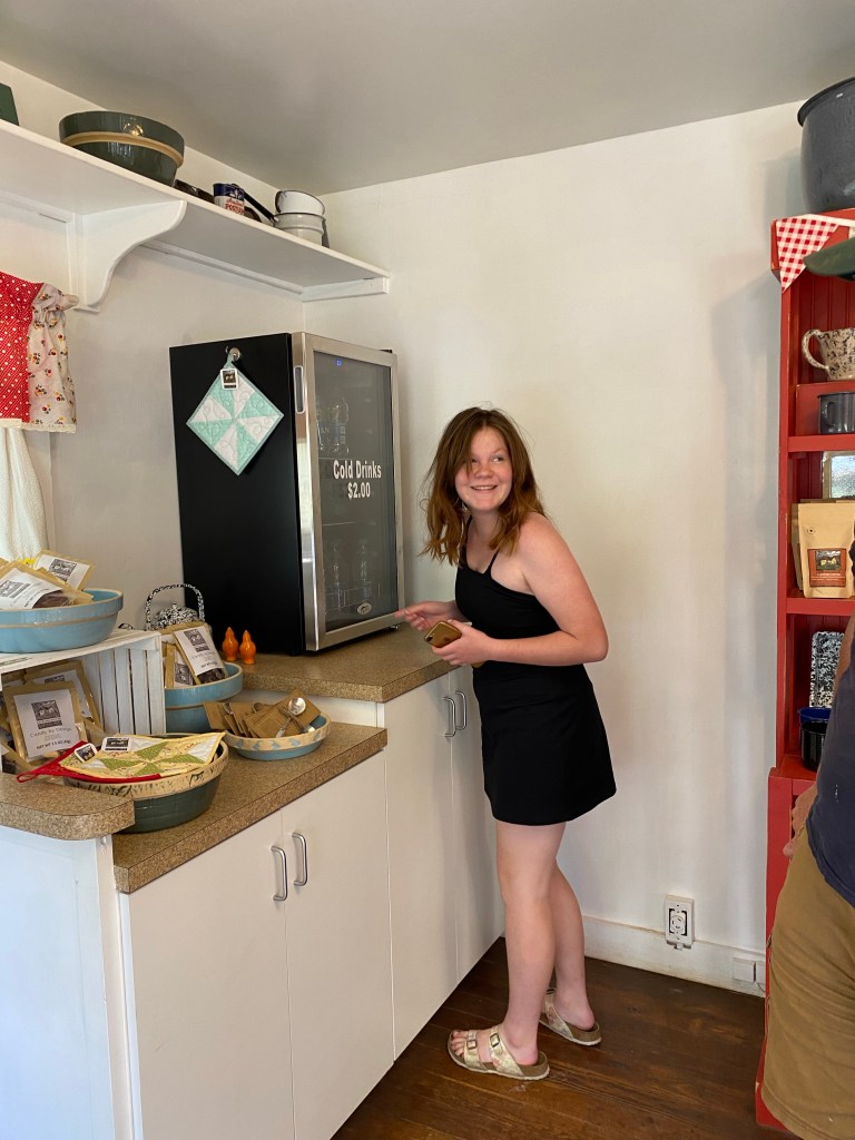
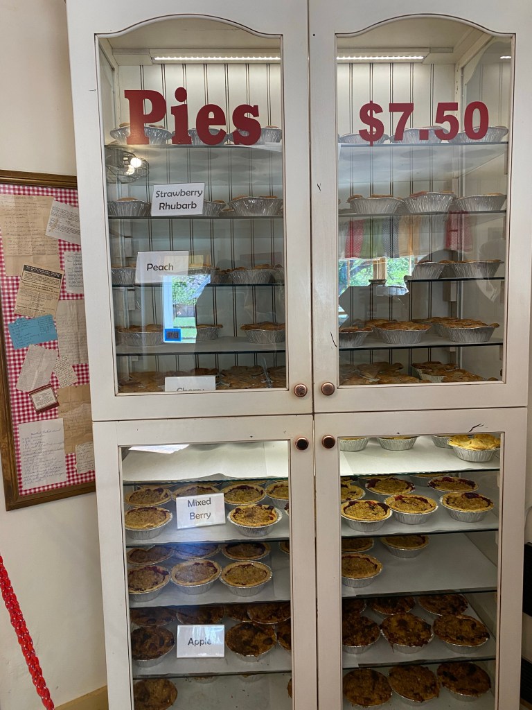
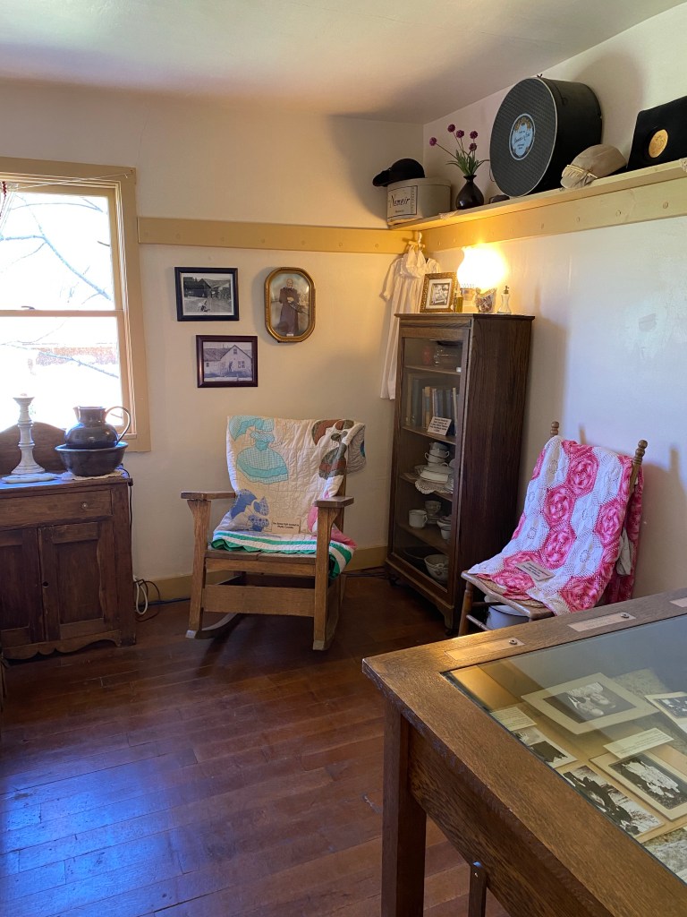
Stepping into the Gifford House was like stepping back in time. The house, which had been sold to the National Park Service in 1969 by the last homesteading family in Fruita, was redone as an interpretive site to depict what a typical Mormon home in the area may have looked like, but with a gift shop. We purchased two pies- one apple and one peach- and headed out to the picnic tables outside. The red cliffs, green grass, and lush fruit trees made a perfect backdrop for our al fresco snack time, complete with a small cup of vanilla ice cream for pie a la mode.


After enjoying our treats and completing more of our junior ranger books, we headed south on Scenic Drive, making stops at the different vista points. We kept an eye out for drunk deer. The ranger at Canyonlands mentioned that because the deer like to eat fruit that may have fermented, they could be a bit friendlier than they should be, much like what I imagine how deer hanging out at a bar might look. They are certainly habituated to humans as they probably run into many. We continued past the campground, which looked really pretty, and finally arrived at Capitol Gorge.
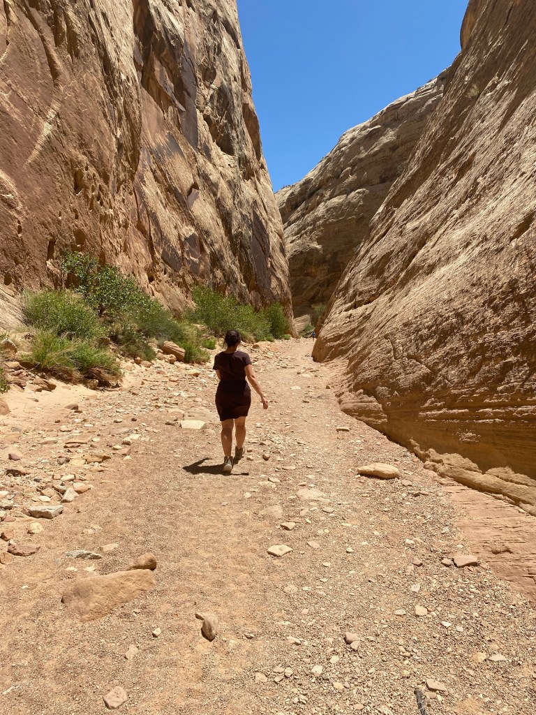
Capitol Gorge is a canyon at the end of the paved Scenic Drive. Intrepid drivers can continue for 2.4 miles on the unpaved Capitol Gorge Road to the parking area and trailheads for both the Golden Throne and Capitol Gorge Trails. Prior to the completion of Utah Route 24 in 1962, the Capitol Gorge Road was a working road that took folks in their wagons and later early motor vehicles to connect to other remote communities southern Utah.
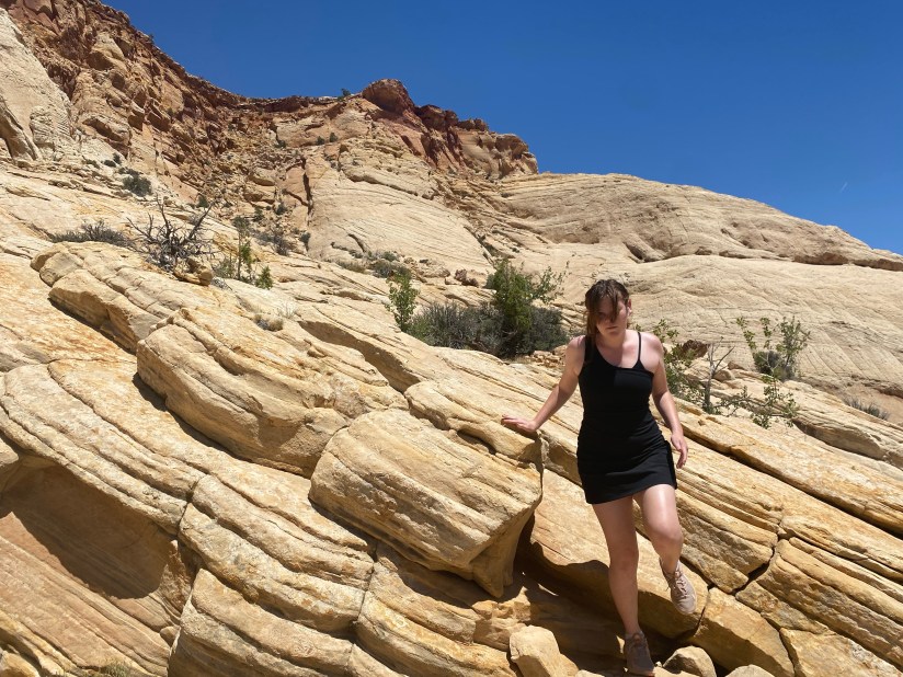
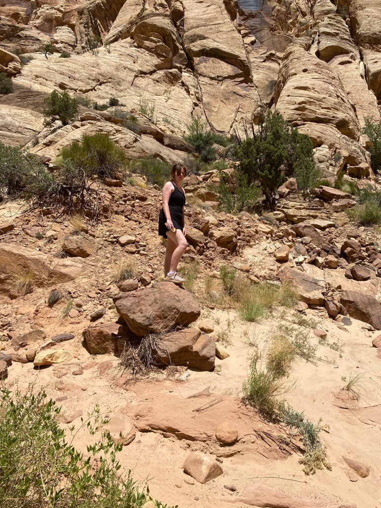
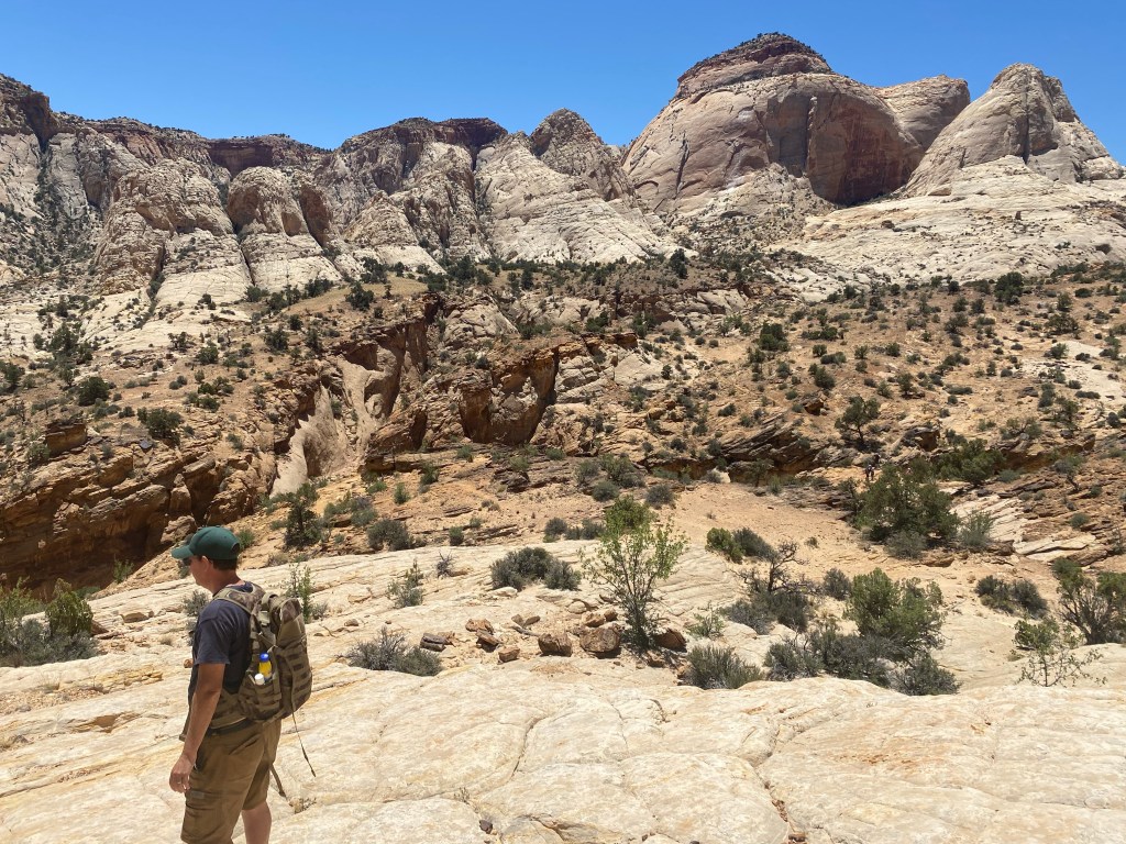
Having had quite a bit of experience driving on dirt roads of unknown ease, we took the minivan onto the dirt road at the end of Scenic Drive. We weren’t too concerned after seeing folks with smaller cars and lower clearance take the road, and noting that it looked to be hard pack, which is not too difficult to drive on with care. I’ve read that the road is like ‘a slot canyon for your car,’ and in some ways, that’s what it felt like, though it’s too open to actually be a slot canyon. It was slower going for the 2.4 miles, but we arrived at the parking area at trailhead soon enough without any issues.
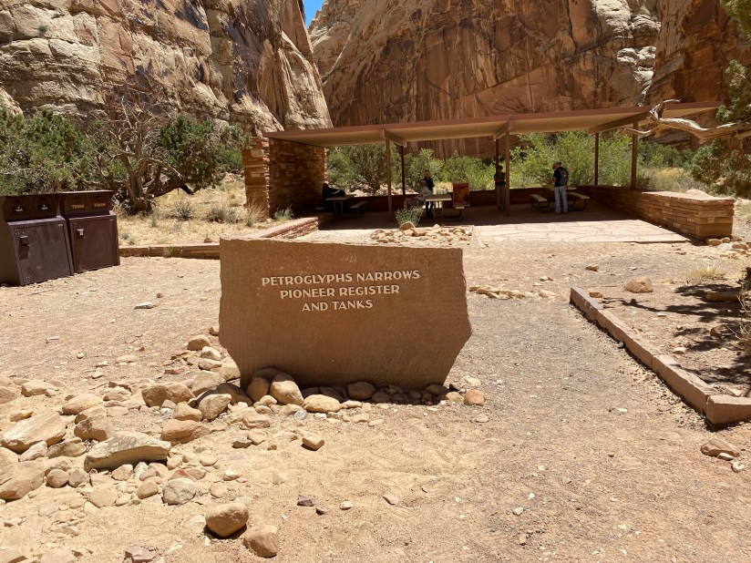
After a quick change into better hiking clothes and some sunscreen, we hit the trail. From the start, there were some points of interest. The oldest petroglyphs done by the Fremont people were just about a quarter-mile or so into the easy trail. The site was clearly marked with a trail marker and the images were easy to see on the sandstone.

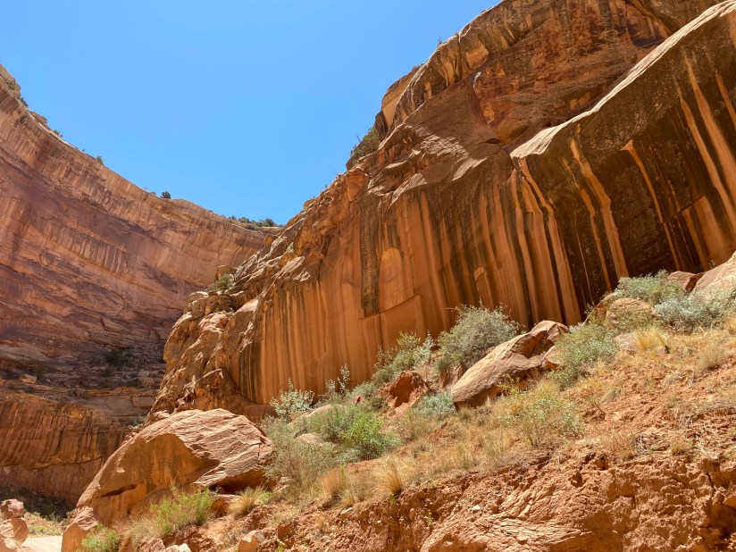
In addition to the petroglyphs left by early peoples, there were other markings from an earlier time. The Pioneer Wall is further down into the canyon, and contains the signatures of folks who made the passage through Capitol Gorge in the late nineteenth and early twentieth centuries, including markings from a 1911 geology project. What I wondered was how those folks managed to climb up onto the sandstone to make some of the higher markings. I also considered how if we were to mark our names on the national park’s rocks, that would be vandalism, rather than an historical artifact.
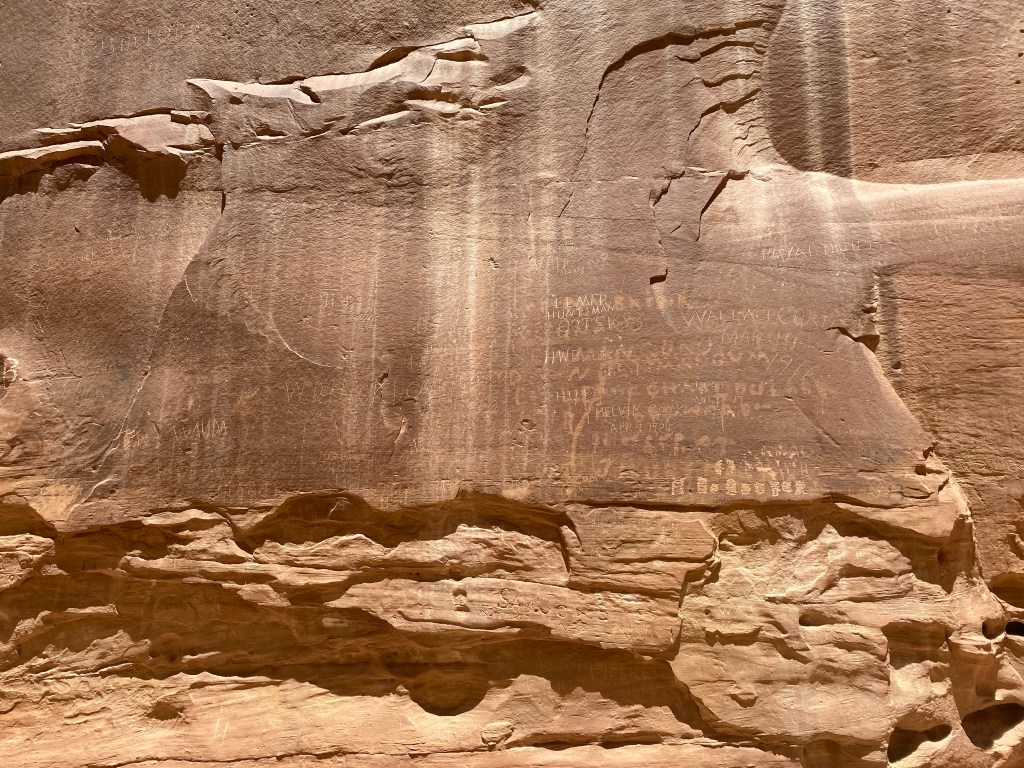
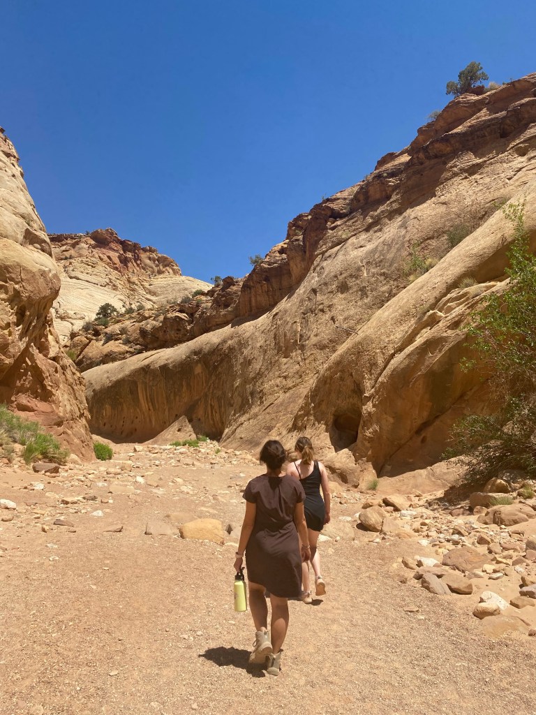
After looking at the variety of names inscribed on the canyon walls, we trekked onward. We met up with another pair of hikers who asked us about the trail. They were also headed to the Tanks, a series of potholes in the gorge that fill with water during heavy rains. These provide water for the typically dry environment. We ended up following the hikers up the trail and we made our way up the rocks. Our progress was halted when we realized that the way we had gone was not leading us to the Tanks. We had actually lost the trail. Our fellow hikers turned around and headed back down the spur, but after we stopped and gathered our wits, we observed that others were on a path that was about 30 feet below where we were situated. We were able to get back down and caught the trail again. Turns out, we should have taken a left on a relatively flat trail, rather than heading up onto the rocks. Once we were back on the actual trail, it was another 0.2 miles or so to get to the Tanks.

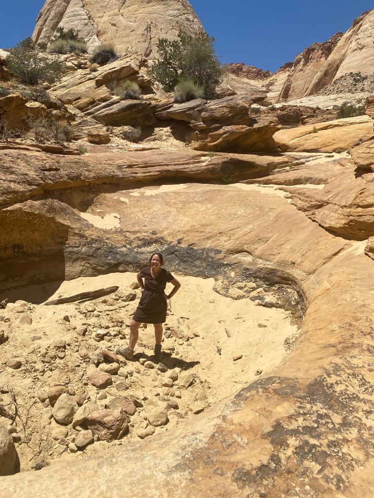
Unsurprisingly, the Tanks were not full of water in the summer dry season. The potholes were filled with sand, but we saw that they could hold quite a bit of water should the rains come. There we stopped for a water and snack break, and hung out for a bit with another hiking couple. It was a pleasant break before heading back onto the main trail and back to the car.
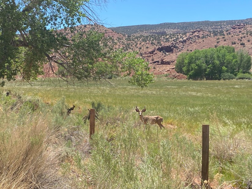
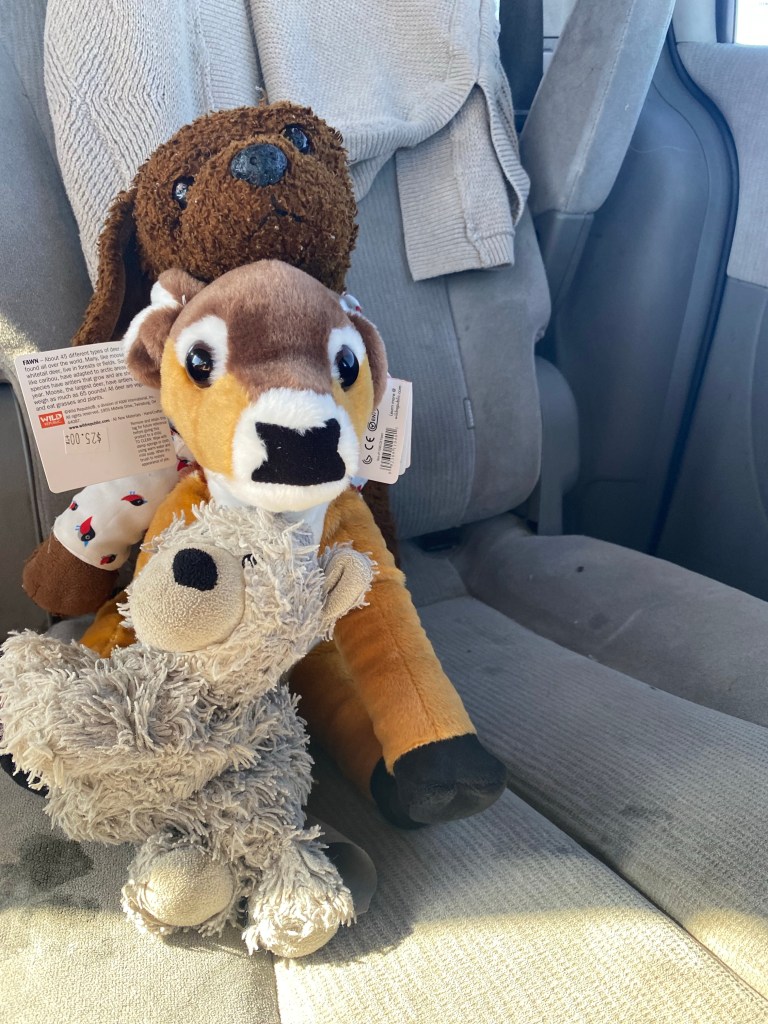
Once back in the car, we drove out through the canyon and back onto Scenic Drive. As we drove toward the visitor center, we finally spotted some deer hanging out in the fields around the campground. I was not going to get too close- drunk deer or sober- but I did want to take a few photos. They looked at once majestic and chill as they munched on the tender grass. At the visitor center, we received our third set of junior ranger badges. And like at Arches and Canyonlands, we spent a few dollars on stickers and souvenirs. Sami even ‘adopted’ a mule deer plushie. The funds from sales go toward research and conservation.
We headed out of the park and stopped for coffee and a late lunch in the small neighboring town of Torrey. The iced coffee at Dark Sky on 178 Main St. was just what Sami and I needed. We also went across the street to Slackers Burger Joint. Michael tried the buffalo chili fries, while Sami had a hamburger meal. My kids meal came with a dinosaur toy and a ‘kids’ soft serve. It was more like a Costco-sized ice cream cup, totally not disappointing, but it required the three of us to finish the dessert.
Once we finished our meal, we drove back into the park. There were still some areas we wanted to explore, and besides, heading east on Utah 24 would be the more straightforward way of getting back to Moab. Not that we took the most direct route anyway, but those side trails will be the subject of the next post.
Upon re-entering the park, we stopped at Goosenecks. Here we found stunning views of the sandstone canyons, particularly pretty in the late afternoon light, and our iPhone cameras really didn’t do the scenery justice.

We headed back down to the Fruita Historic District after snapping a few photos at the overlook. While we were unable to pick any fruit, we were able to take photos in some of the orchards. We also sent Sami to school- that is, we walked over to the old one-room schoolhouse where classes were conducted from 1896 until the U.S. entered World War II in 1941. As a teacher even at a relatively small school, I cannot imagine delivering instruction to students in grades 1-8 with all of their antics and without modern conveniences like wifi, on a daily basis. Big kudos to Nettie Behunin, Fruita’s first schoolteacher, and the teachers who followed in her stead.
At the end of an adventure-filled day, it was time to head out. Sami was getting tired and had fallen asleep in the car while heading back toward the trail to the natural bridge. So even with so much more we wanted to explore, we left the park. I hope to be able to return and do more of the hikes and really see this rugged, scenic portion of the Waterpocket Fold. Capitol Reef really is an amazing park.
Some things to consider:
Flash flooding is a possibility during the summer months, especially July-August. Flooding can occur even when the storms are not directly overhead, but someplace in the watershed upstream so to speak. Conditions can change very quickly, and there are signs at canyon entries that warn of the potential for flash floods. Check weather reports before heading out during the summer monsoon season.
There is very limited cell service while in the park and in its vicinity. I didn’t have a signal until we got closer to Goosenecks and even this was spotty until we arrived in Torrey. For the most part, we were pretty well disconnected. Be prepared for a time away from email and social media, but also no service in the case of an emergency.
We brought plenty of water, sunscreen, and snacks. There is potable water at the visitor center as well as flush toilets. There are no food sales other than the treats at the Gifford House. The weather was very pleasant in the morning, but it was windy at times and we did catch a bit of sun.
We did learn a valuable lesson with regard to staying on the trail. We made the mistake of following other hikers in Capitol Gorge without really paying attention. As a result, we found ourselves off trail. I felt bad because this is something we try to be cautious of in order to stay safe and to protect the natural environment. We were fortunate to be able to get back on the right track, but this highlighted for us the importance of paying attention to our surroundings and to know where it is we are going.
The pies at the Gifford House tend to sell out in the afternoon. We were told by the park ranger to make it one of our first stops- advice well taken on our part.
Fees are required to enter Capitol Reef. As always, I recommend the America the Beautiful pass, available for purchase at REI, U.S. Parks Pass, or at the national parks themselves. At $80, it is a deal especially if you are planning on visiting multiple parks or other federal lands. And if you have a fourth grader, the Every Kid Outdoors program allows for kids in grade four and their families to access national lands for free.
Capitol Reef is a truly amazing place. I thought is was a unique park, full of interesting history and geology. The sandstone cliffs and canyons, varied vegetation, and other natural features made for a picturesque landscape with many great viewpoints. And being able to enjoy pie was a definite bonus. I hope to be able to return, perhaps to participate in fruit picking and to experience more happy trails.
For more information, and to plan your trip, visit:
nps.gov
Much of the information in this post is from the park’s visitor guide and from our junior ranger booklets. In addition, there is an abundance of info at the visitor center. Ranger programs are also a great way to learn more about the parks.

4 thoughts on “Capitol Reef National Park”