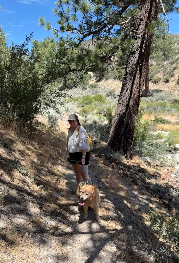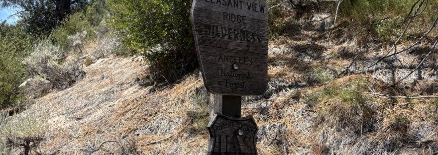
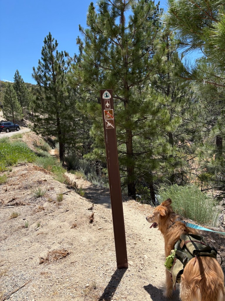
We did a thing. With the ‘help’ of the kids, we adopted a new family member. Benny, lengthened to Benedict Willem Alexander Haas, was brought home on July 10, 2026. The following day, we took our energetic golden retriever-border collie mix for his first hike. We choose a less trafficked area along the Angeles Crest to see how he would handle being on the trail. So on a sunny Saturday morning, we strapped on Owen’s Wolf Republic backpack, packed up the Subie, and headed up CA-2 past Chilao to Rosenita Saddle.
Rosenita Saddle sits between Mt. Hillyer and higher points to the east. According to the internet, it was the site of a Girl Scout Camp from about 1958 to 1966. Today, it is a trailhead for Mt. Hillyer and the start of other Angeles National Forest adventures.
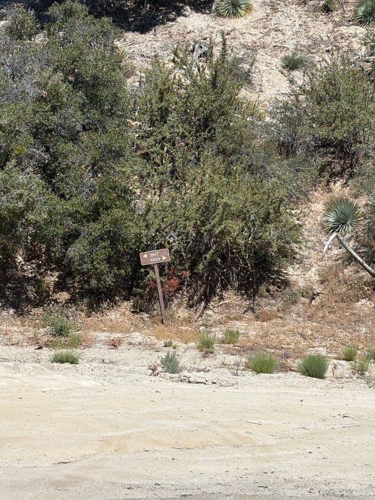
After parking the Subie in the small parking area on the saddle, we followed Forest Service Road 3N17 down to its junction with Little Rock Truck Trail, Forest Route 5N04. From there we headed right, and continued following the road down.
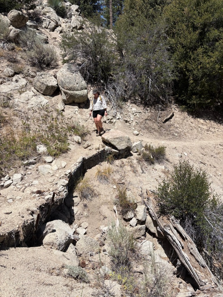
After about a mile or so, the road met the Pacific Crest Trail. We hiked a very short bit of California Section D, an 111 mile stretch of trail from the Cajon Pass to Agua Dulce, and one that we have explored on many occasions- from Mt. Baden-Powell to Cooper Canyon Falls. This portion of the PCT can be challenging as it is marked by dry conditions and many elevation changes. The specific portion we hiked with Benny in the Pleasant View Ridge Wilderness lived up to its name. It was indeed pleasant; reasonably flat and relatively shaded. The only drawback, with the pup and otherwise, was that there were portions of the trail that were sandy and pretty narrow. And while the drops on this particular stretch were not too extreme, I still wouldn’t want to go sliding off the trail.
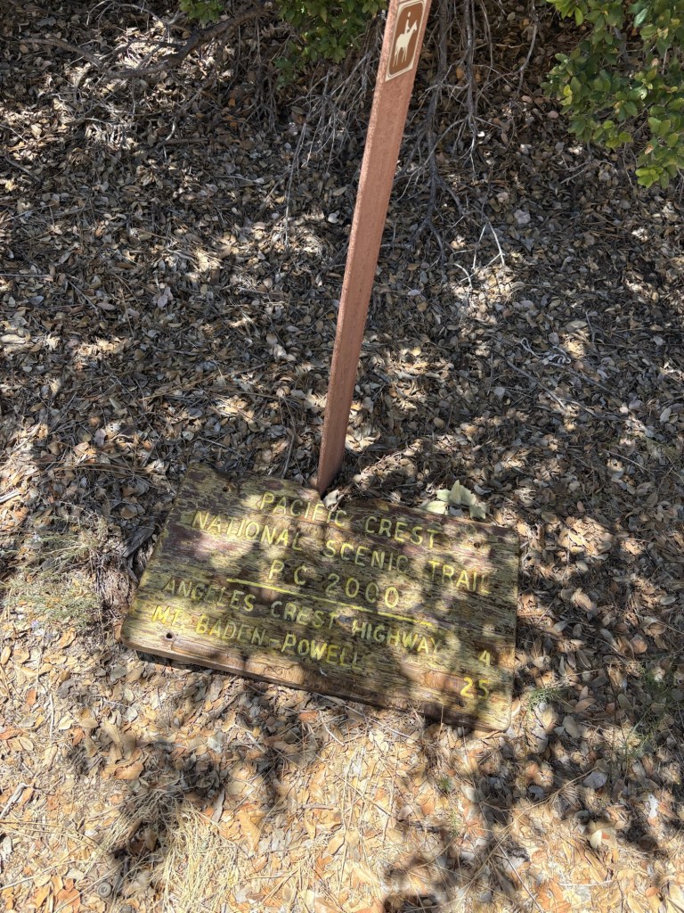
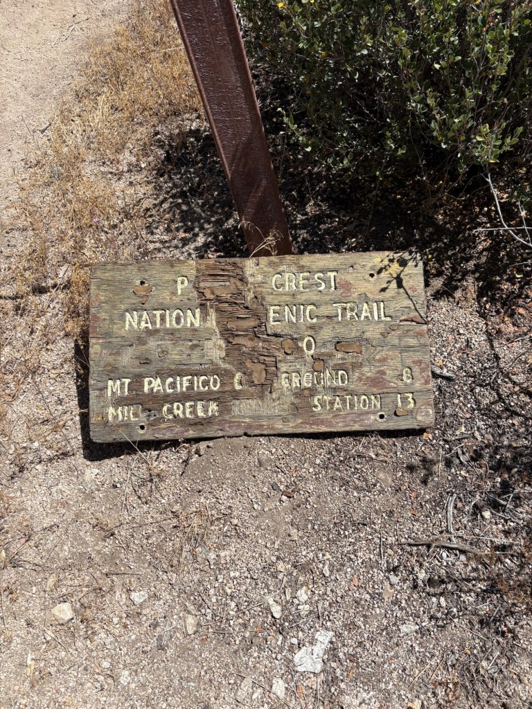
Nonetheless, it was a relief when the trail widened. We came to some manzanita plants and signage for other trails and waypoints along PCT. Benny and I took a nice little water break before continuing onto our intended destination: Little Rock Creek and Sulphur Springs Campground.
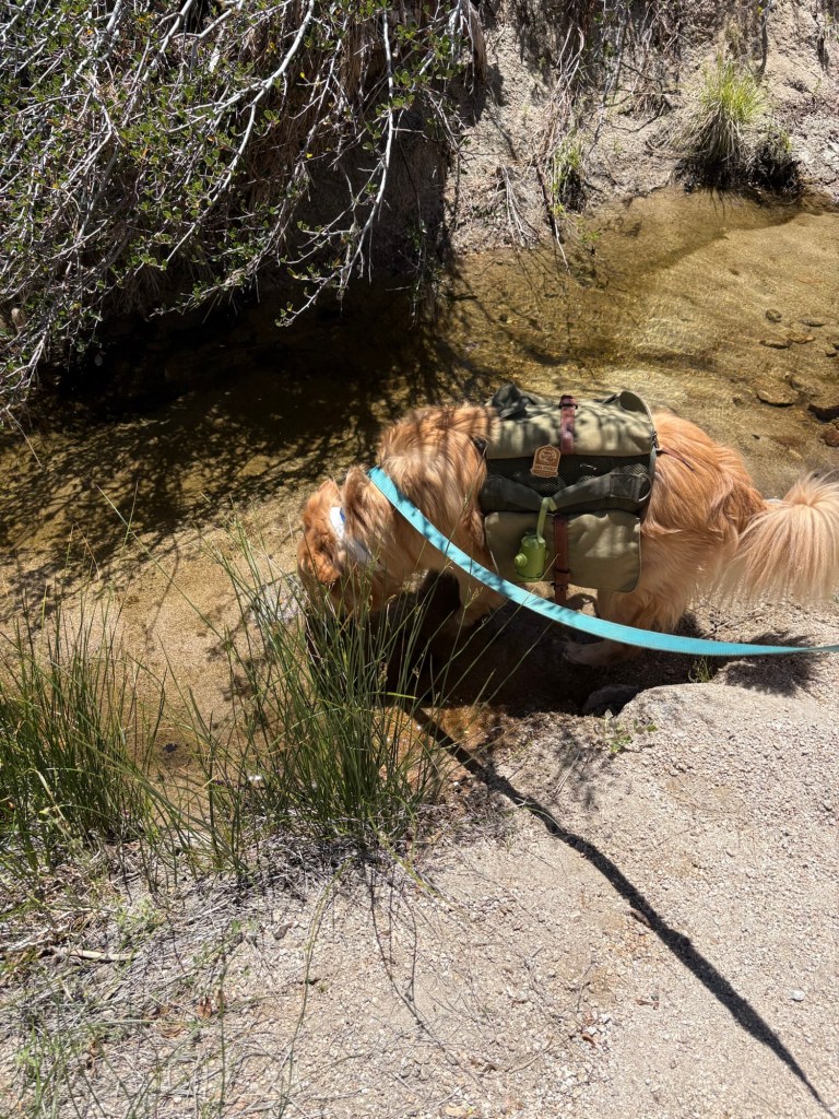
Benny liked meeting two hikers in the clearing near the campground and the stream. We chatted with the hikers for a bit as Benny received free pets, which he thoroughly enjoyed. The hikers were the only two people we encountered on this stretch of the trail. It was pleasantly quiet and serene. After some nice conversation about past and planned adventures, we headed down to the stream. The water was present but relatively still. Benny was not too keen on wading, but he did take a drink from the creek.
We continued to the Sulphur Springs Trail Camp. This primitive campground features vault toilets that were very clean on the day we visited and seasonal spring water. There were benches and fire rings in each campsite, and the sites were well-shaded. It was a nice place to stop for a snack break. Benny plopped and enjoyed some biscuits while we also enjoyed our trail snacks. After a while, however, it was time to peel myself off the bench and begin the trek back to the car. A quick bio stop and we were back on the trail.
To make life a bit easier, we hiked back up via Sulphur Springs Road back to Forest Route 5N04. This saved us going back up the narrow PCT with Ben. It was still pretty scenic, as it paralleled the national scenic trail and the road was flanked by sagebrush and other aromatic chaparral plants. It was slow going back up to 3N17, but we made it, with Benny and myself plopping a few times with the heat of the late morning starting to pick up. At last we hit just under a half-mile from the car, and called it a morning. Michael went to retrieve the Subie; Benny and I waited under the shade of a Jeffrey pine and a Coulter pine for our ‘uber’ back up to Rosenita Saddle and some lunch. Our total hike was about 5.4 miles according to Strava with an elevation change of 641 feet, which would not have been too bad if not for the temperature.
Some things to consider:
As mentioned in the post, the day warmed up pretty quickly. To be fair, we began our hike later in the morning that we usually would as we were assisting with a Scout Eagle project before heading into the backcountry. We did bring plenty of water and sun protection. Starting earlier would have yielded better conditions for the return trip.
Hiking with dogs requires a little extra prep. Benny was able to carry his little backpack with treats and a foldable water dish, along with waste bags. I carried on my bag a foldable water dish and a separate water supply for Benny, as well as a veterinary first aid kit. We made sure to leave no trace, and were cognizant of temperatures, especially on paved areas. We stopped when it became too warm, even if it meant ‘losing’ some distance. The trails will still be there, and Benny’s safety is much more important.
Poodle-dog bush is in bloom along 3N17, with plants of varying sizes. Eriodictyon parryi typically blooms from about June-August. It is ecologically important as a fire-follower and is very pretty, but it definitely is a ‘look but don’t touch’ plant. If contact with the plant occurs, wash the area with lukewarm water and a good soap such as Dawn. Some recommend using a piece of sticky tape to remove any remaining plant hairs; if you do this, be sure to be careful not to spread the oils from the affected spot. Also decontaminate any clothing or surfaces that made contact with the plant. The resulting rash usually occurs anywhere from 12-48 hours after exposure, similar to poison oak. Calamine can provide some relief, as can cold compresses, and topical steroids such as hydrocortisone. If symptoms worsen or are over large parts of the body, be sure to contact a medical professional for help. That said, the best cure is prevention, so stay aware of your surroundings, and enjoy this lovely purple plant from a distance. I was very careful to be sure Benny also kept a safe distance away from the poodle-dog bush, as dogs can also experience allergic reactions as well as transfer the toxins to humans.
Adventure passes are required to park anywhere within the Angeles National Forest. These are $5 per day, or $30 for an annual pass. If you plan on visiting other national lands over the course of the year, I recommend purchasing an America the Beautiful National Parks pass. At just $80, it is a great value for many adventures.
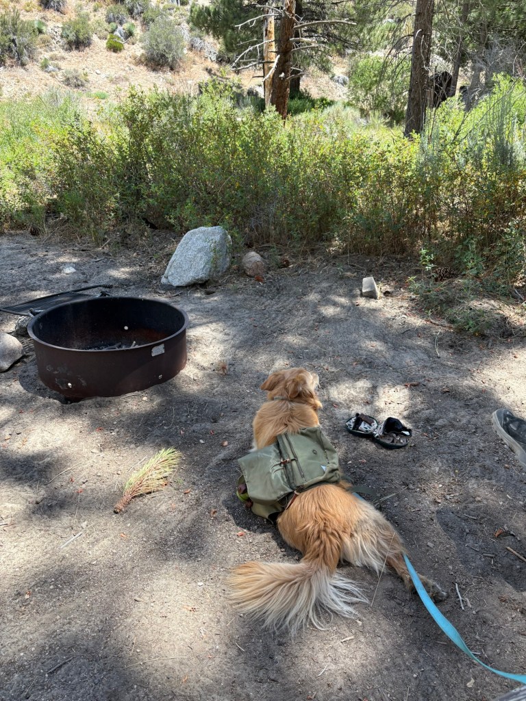
Sulphur Springs Trail Camp is a first-come, first-serve trail camp that is nicely shaded and is a nice rest spot for hikers along the PCT. While considered a primitive campground, sites do have amenities such as fire rings and picnic tables. The vault toilets were clean, and the campground was not far from the road, so it could be a hike-in camp for car campers. I would bring any needed water, as the spring is seasonal and requires treatment for human use.
Our hike in the Pleasant View Ridge Wilderness was a fun Saturday adventure. I would like to be able to explore more when the weather is more amenable to a longer hike. I think Benny will love it almost as much as he loved his Jersey Mike’s meats when we got back to La Canada after our hike. There are so many trails to enjoy in the Angeles National Forest and along the PCT. Just pick a happy one and go. Happy tails!