Over the years, I have laced up my hiking boots and hit many a trail in the Angeles National Forest. While I have my usual favorites, especially those that are close to the Angeles Crest in La Canada or off the Eaton Saddle along Mt. Wilson Red Box Road, there are also many new trails to explore in the vastness of over 700000 acres of national forest.
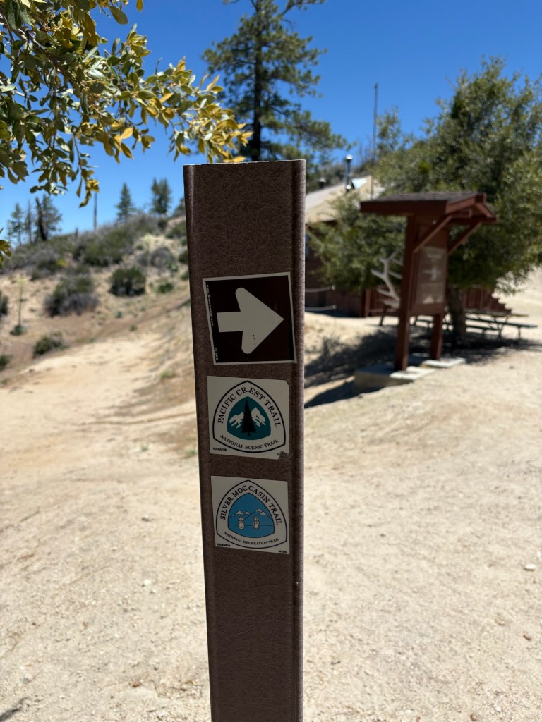
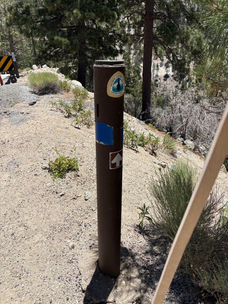
After a long and somewhat discouraging workweek, we headed out on a mild June Saturday to explore what was for us a new hike along the Pacific Crest Trail. We drove to the 6000′ Day Use Area, a large parking area at about mile marker 62.50 on the Angeles Crest Highway. This day use area offers vault toilets that were pretty clean on the day of our visit, picnic tables, and easy access to the PCT trailhead nearby. From there, we walked past the gate which closed Angeles Crest to public vehicle traffic and hit the trail, our plan to hike up to Winston Peak.
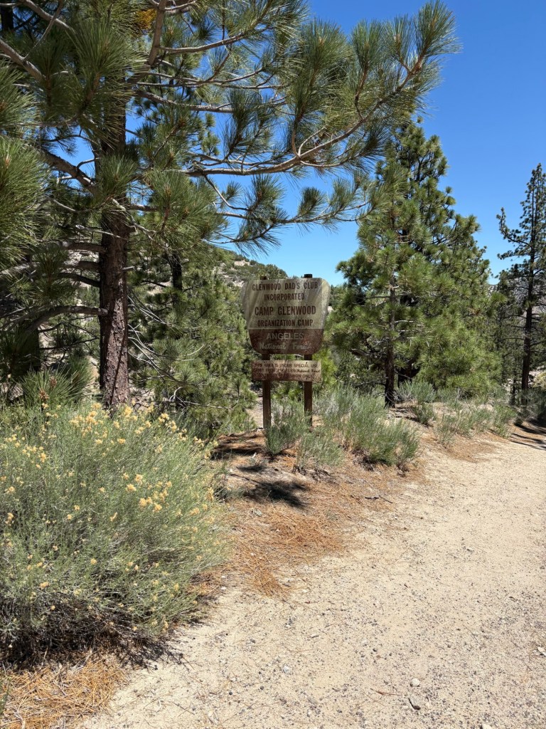
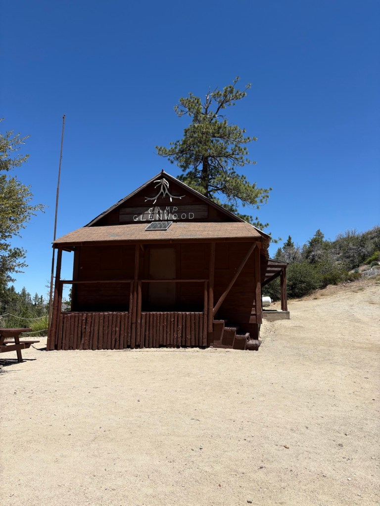
Our first landmark along the trail was Camp Glenwood, an historic cabin that has been used as a scout camp and a spot for PCT thru-hikers to get water and take a rest. The building was once a school and was later repurposed by the Glenwood Dad’s Club. The camp is close to the 400-mile from Mexico point along the PCT.
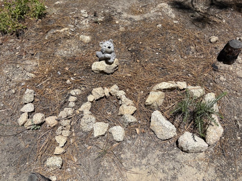
After checking out the sign with the coordinates, mile markings, and elevation, we continued east along the famed trail. We soon came to the stone markers noting the 400-miles-from-Mexico point along the PCT.
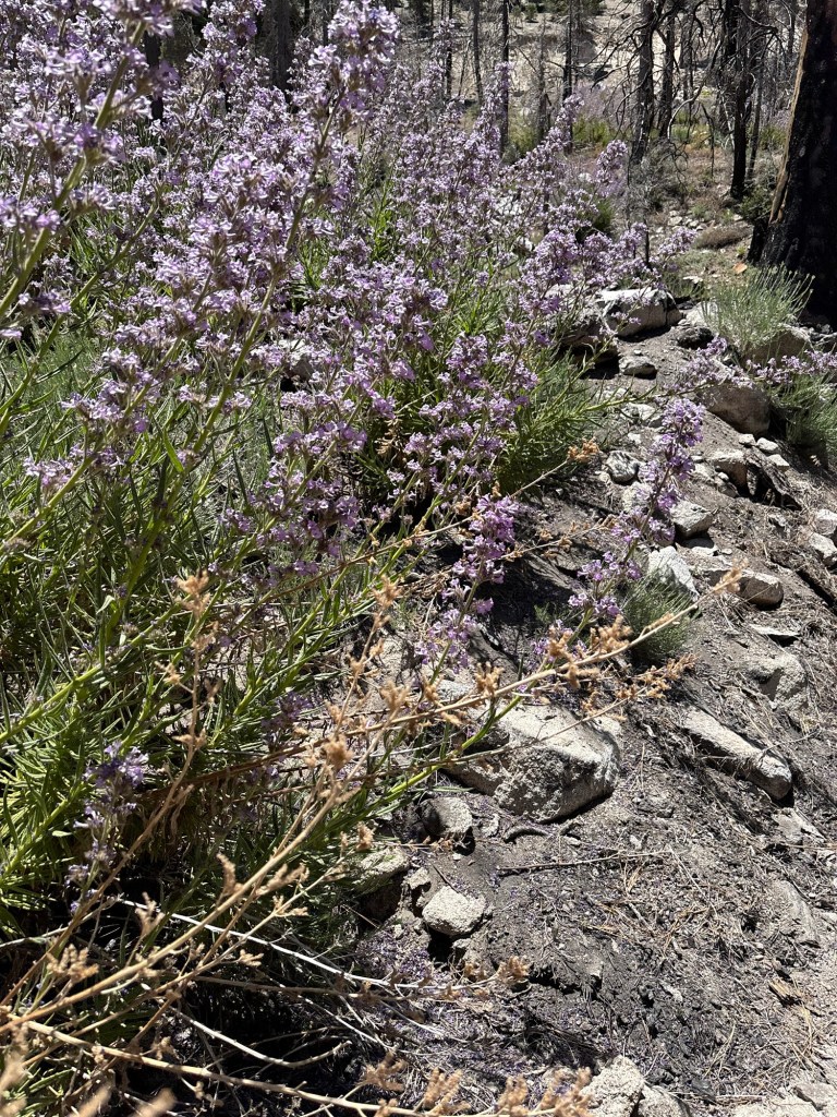
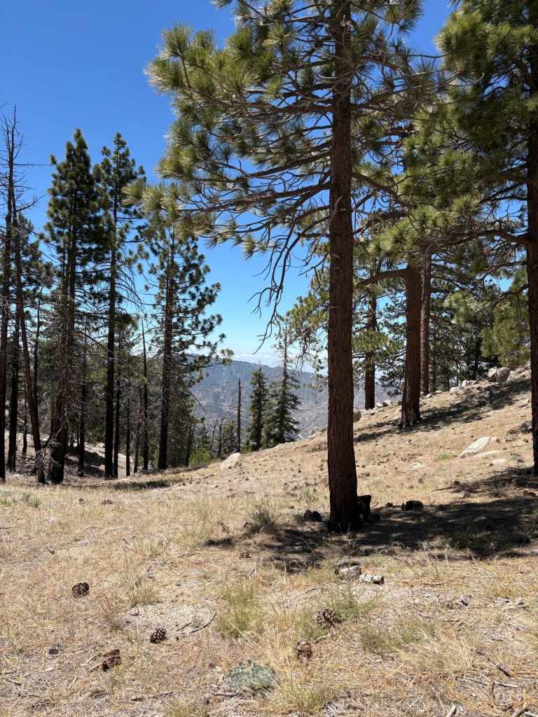
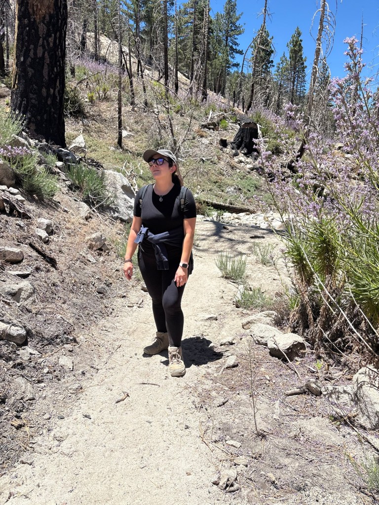
The forest environs were lovely. We could hear the breeze rustling through the trees, the smell of incense cedar and yerba santa in the air. The wildflowers were in bloom, their colorful blossoms in contrast to the green of the trees and shrubs. There was one flower I was keen to avoid, though it is very pretty in its annual blooming season. There was an abundance of the ecologically important fire-follower, Eriodictyon parryi, affectionately known as poodle-dog bush. This native species, while extremely beautiful, has tiny hairs that secrete oils chemically related to the urushiol found on poison oak. The resulting reaction resembles that of poison oak; after my literal brush with poison oak back on a January hike, I preferred not to have a similar experience again.
Being careful to avoid the toxic plants, we trekked on, crossing two small water crossings as we followed a small stream. Soon we came to cross the Angeles Crest Highway, resuming the trail as it ascended toward our intended destination.
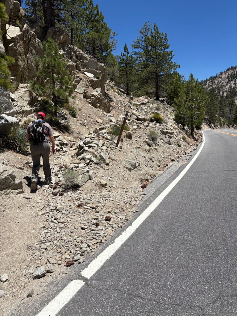
We hiked another mile or so and came to another Angeles Crest crossing. This was Cloudburst Summit, and rather than hike the loop as we had considered after consulting AllTrails, we opted to head left and straight for the summit in the hopes of saving a little time as the day wore on.
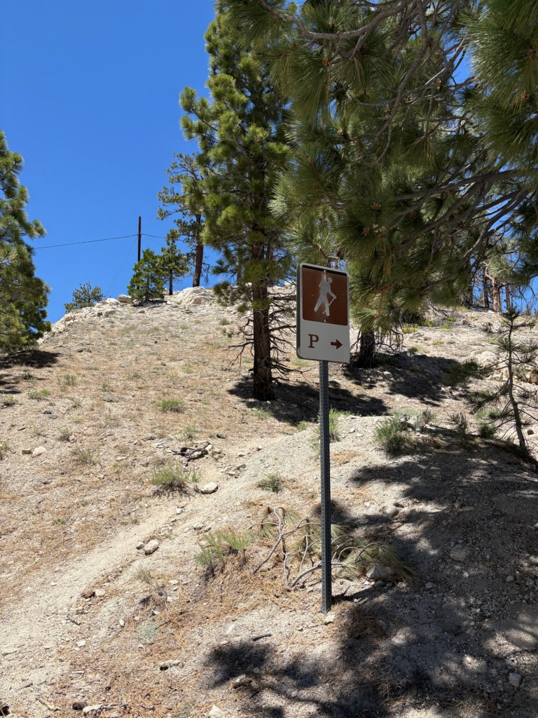
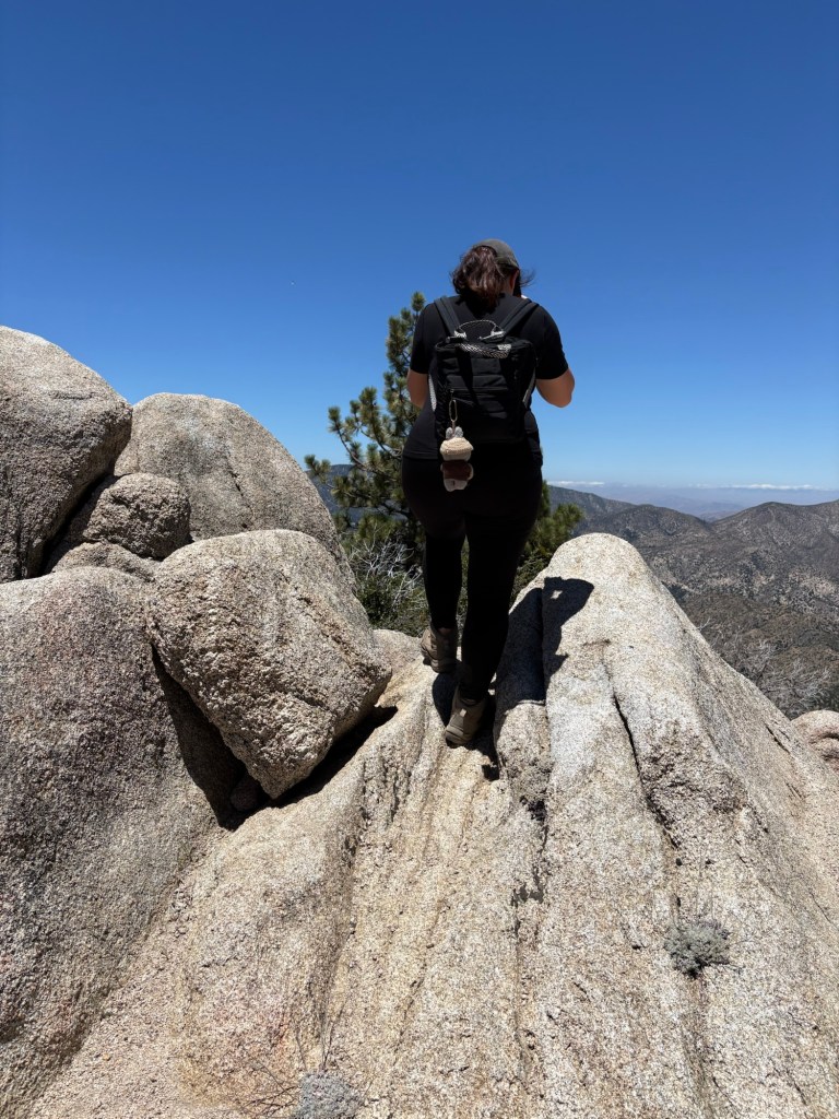
The hike up to Winston Peak was not super long; it was only just over a half-mile, but it was arduous as we huffed up over 500 feet of elevation. There were some slippery spots, and I could feel gravity working against me. While I whined about the trek- and the fact that I am still trying to rebuild my fitness- I was determined to make it to the peak and find the register hidden in the rocks.
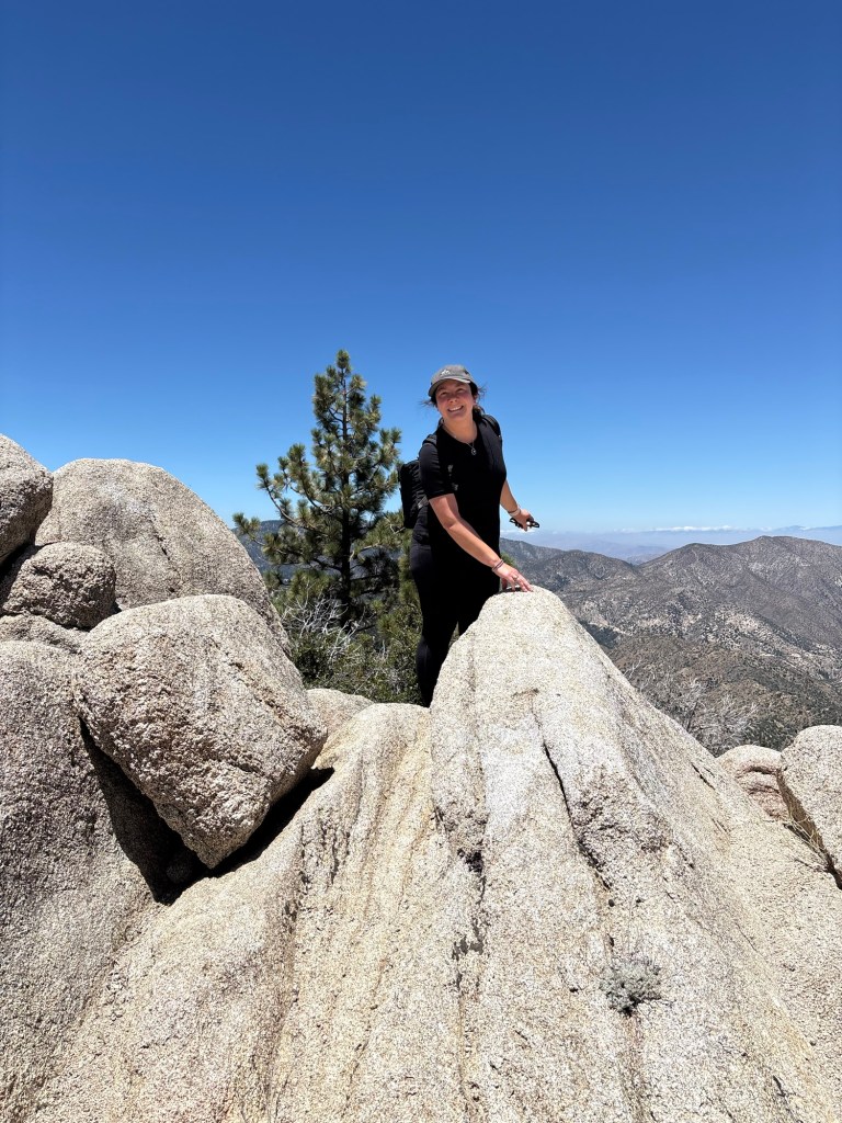
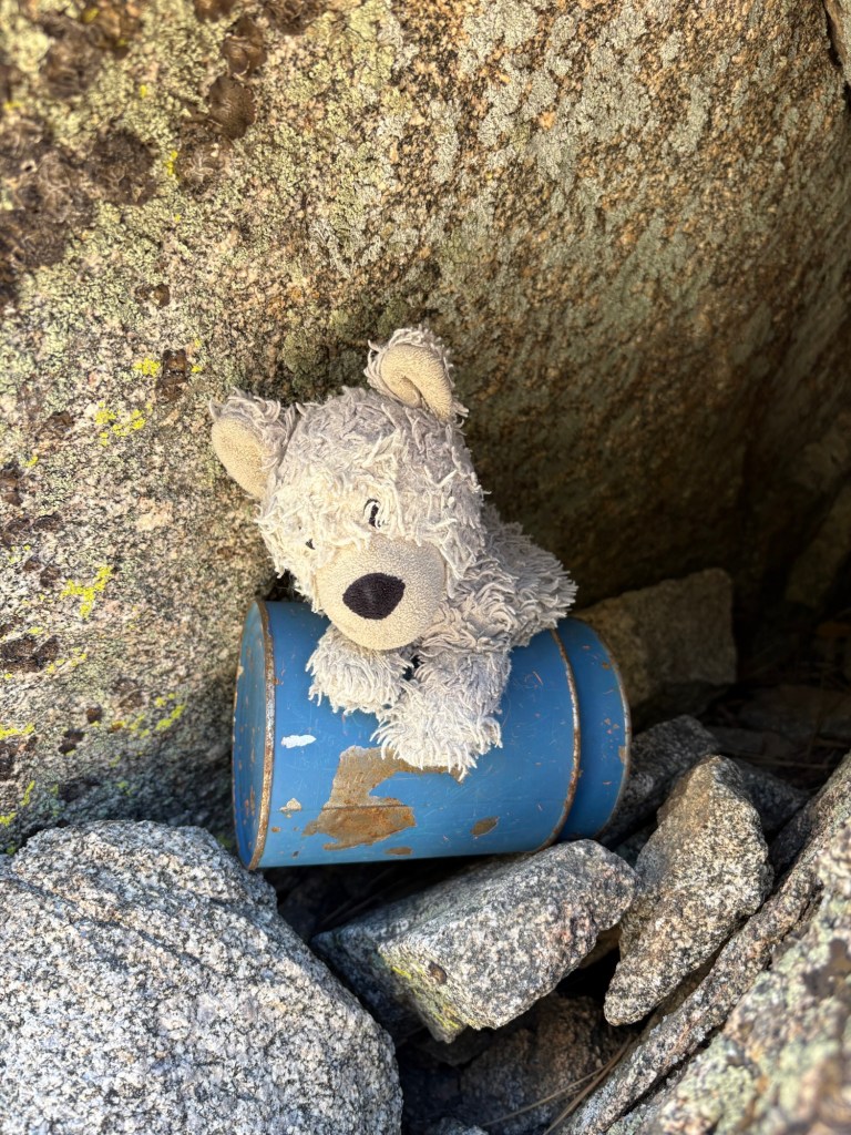
After what seemed like an eternity to my overdramatic self, we came to Winston Peak, a quiet peak in the San Gabriel Mountains with an elevation of 7502 feet. We didn’t see the bright blue can straightaway, so I climbed over the rock piles, determined to find it.
Find it I did. The bright blue tin containing a small notebook register was safely tucked into a rock pile which also made for a nice sitting area to enjoy a quick snack. I consumed my banana, then set about to sign the register and take a few more photos before starting the hike back down.
But soon enough it was time to head back. We had started the hike later in the day, and as it was past lunch time at this point, we were getting rather hungry, even with our snacks. I carefully hiked down the steep trail, this time with the help of trekking poles to help maintain my balance. Even so, we made good time getting back to Angeles Crest.
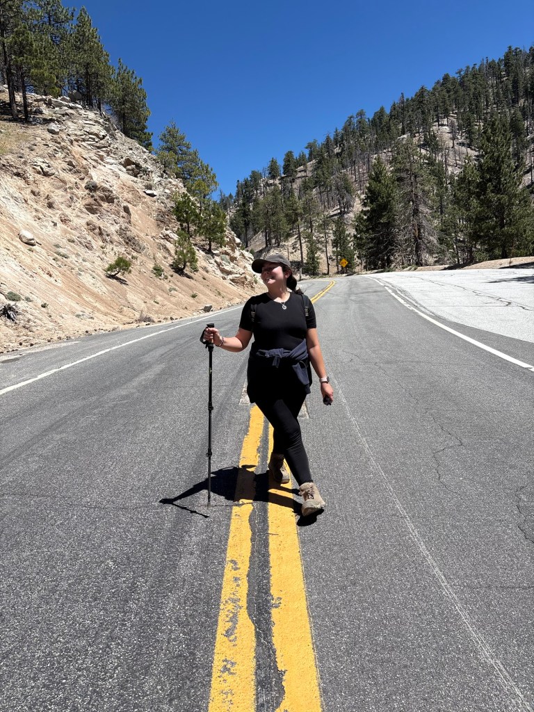
As the highway is currently closed to vehicle traffic between 6000′ Day Use Area and Wrightwood, we decided to take the road back to the car. While it may have been a bit faster than taking the PCT, and consistently downhill, it was not exactly short. We still hiked about three miles down the highway, passing piles of rock and dirt. along with construction equipment to repair the closed stretch of highway pounded by unprecedented winter storms. Though it was nice and quiet hiking the highway, we did pass a few other hikers at this point. We had not seen anyone along the trail most of the day.
It was a very pleasant day outside, and the late June weather was perfect for an eight-mile hike. It felt good to ease into some longer hikes and spend some time soaking up the early summer sunshine. While I ended the hike tired and ready for a salty snack before dinner, I felt recharged being out in nature. And it was fun to explore parts of both the Angeles National Forest and the PCT I had not visited before.
Some things to consider:
Adventure passes are required to park anywhere within the Angeles National Forest. These are $5 per day, or $30 for an annual pass. If you plan on visiting other national lands over the course of the year, you can purchase an America the Beautiful interagency pass. At $80 for residents, it can be a great value for many adventures.
Please be aware of potential road closures when planning your trip. The section between 6000′ and Wrightwood is closed indefinitely for major construction. Snow and heavy rains can also change road conditions.
This forest hike has many shaded portions, however, there were many spots that were pretty exposed. Sun protection and plenty of water is essential for this hike.
As mentioned above, poodle-dog bush is in abundance on this portion of the Pacific Crest Trail. It is also large. Eriodictyon parryi typically blooms from about June-August. It is ecologically important and very pretty, but it definitely is a ‘look but don’t touch’ plant. If contact with the plant occurs, wash the area with lukewarm water and a good soap such as Dawn. Some recommend using a piece of sticky tape to remove any remaining plant hairs; if you do this, be sure to be careful not to spread the oils from the affected spot. Also decontaminate any clothing or surfaces that made contact with the plant. The resulting rash usually occurs anywhere from 12-48 hours after exposure, similar to poison oak. Calamine can provide some relief, as can cold compresses, and topical steroids such as hydrocortisone. If symptoms worsen or are over large parts of the body, be sure to contact a medical professional for help. That said, the best cure is prevention, so stay aware of your surroundings, and enjoy this purple plant from a distance. I learned this lesson the hard way with poison oak.
This hike is considered moderately strenuous. According to my Strava, I hiked 8 miles with 1367 feet of elevation gain. It was relatively flat in parts, with a steady climb. The last spur to the peak was what really kicked me. I recommend trekking poles for the way down as it is steep with some loose rocks in points.
The hike to Winston Peak was a fun adventure. I truly enjoyed getting outside and exploring more of the national forest that I love. There is so much to see and do in California’s expansive public lands. Just pick a happy trail and go!