
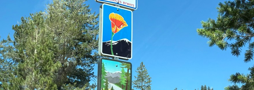
Ebbetts Pass Scenic Byway is a 61-mile stretch of California Routes 4 and 89 traversing the mighty Sierra Nevada Mountains and connecting the towns of Arnold and Markleeville. This scenic pass is both breathtakingly beautiful and offers up a challenging drive. It has one of the steepest highway grades in the United States, second to the Sonora Pass. It is also the third highest highway pass in California after Tioga Pass and Sonora Pass. There are hairpin turns similar to CA-108, but there is an extended stretch of highway that does not have a center line, which lends to its difficulty. While wider than a true one-lane highway, it can be hard to make space especially for larger vehicles and the not-so-recommended trailer.
There are a number of points of interest along this truly scenic route. We devoted our second full day in Calaveras Country to explore as much as we could in a day along Ebbetts Pass. We took off after breakfast, loading the Subie with plenty of water, snacks, lunch, and swimming essentials. We started up California Route 4 from Angels Camp and headed east, passing through Murphys and Arnold before coming to the start of the scenic byway not far from Calaveras Big Trees State Park.
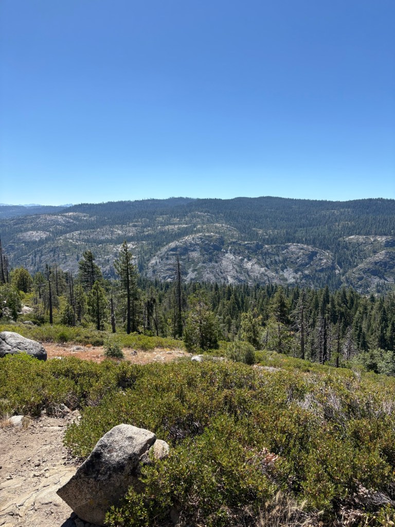
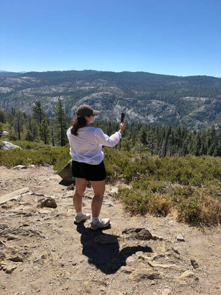
We didn’t get too far before coming to our first stop. We turned off the highway about 18 miles east of Arnold to check out the views from Liberty Vista, a scenic point along the byway with an elevation of 6770 feet. This stop offers an expansive landscape of the canyon below, formed millennia ago by volcanic activity and glaciation. There are also some pretty cool granodiorite rocks and views of the mixed-conifer forest. In the distance are the mountains that flank the Sonora Pass. With the bright blue sky above, the views were incredible. We took photos and enjoyed the views, then headed back to the Subie for more adventures, This was just the first of several stops along this route.
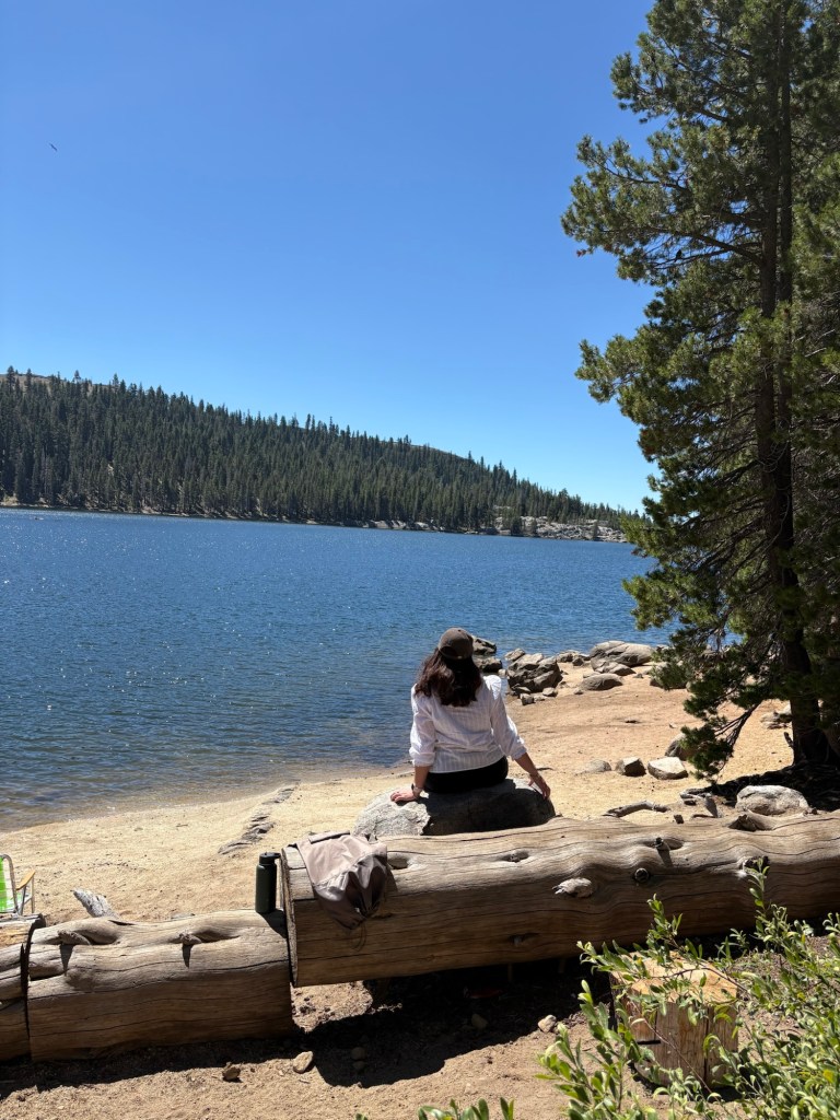
We drove on for about 10 miles then came to Lake Alpine, a man-made lake along the scenic byway. The reservoir was formed by damming Silver Creek for the purpose of providing water for gold mining operations back in the late 1800s. Today, Lake Alpine is a very popular site for water sports in the Stanislaus National Forest. Boating, fishing, and other water sports such as paddle boarding and kayaking are allowed in this 180-acre reservoir. There are several campgrounds, as well as a large picnic area and a two-mile hiking trail that loops around the lake. Indeed, I had almost camped in the vicinity of Lake Alpine several years ago when traversing the Sierras, but decided against it as we already had plans to camp in different spots in Bridgeport and the Stanislaus National Forest.
After walking around and dipping my toes in the cool lake waters, we drove on. At this point, the road became more narrow; we had entered the stretch where the road was about a one-and-a-half lane highway. The center line disappeared, and good judgment and driving courtesy was the rule of the road. We drove on about 10 miles or so, and came to our first intended destination: Ebbetts Pass and Ebbetts Peak.
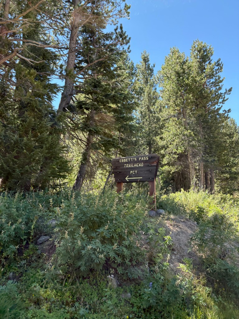
At 8736 feet (2663 m) above sea level, Ebbetts Pass is the highest point along the scenic byway. The pass sits along both the Stanislaus and Humboldt-Toiyabe National Forests. This is also where the Pacific Crest Trail crosses California Route 4. We parked in the lot for the PCT/Ebbetts Pass, which was located about 0.3 miles east of the actual pass. After parking the car and applying plenty of sunscreen and bug spray, we backtracked west along the road to get to what we had initially thought was the trail we wanted for the peak.
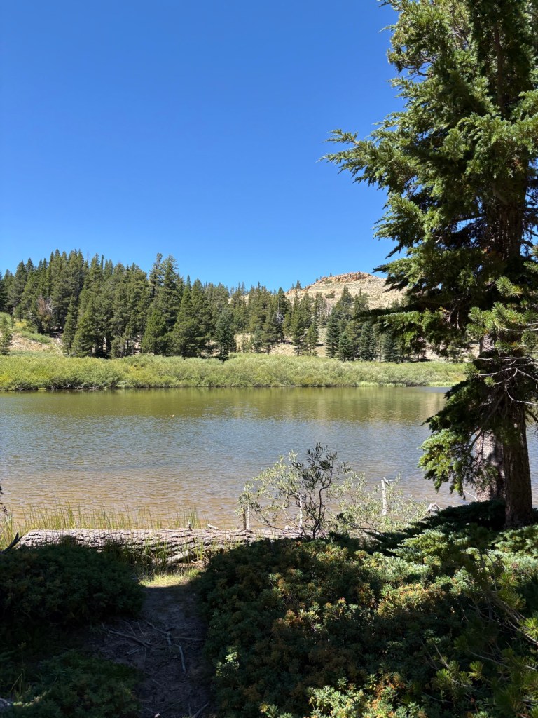
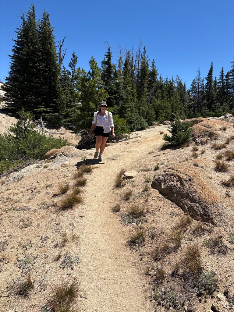
We hiked along PCT for about three-quarters of a mile. Just one problem: we were heading away from the peak. I had seen the sign for the pass and what appeared to be a small trail on the way over, but that wasn’t where we started this hike. Instead, we had followed the signs for PCT, which took us west toward Upper Kinney Lake. We couldn’t figure out how to get to the peak from where we were; I figured we had indeed started at the wrong place. We doubled back along PCT to the highway and came upon a couple and their pup. They informed us that my guess had been correct; the trailhead to the peak was a bit down the highway. They warned us that the trail was short but difficult, with plenty of scree and loose rock. We hiked back to the road and backtracked west. A few more minutes’ walk and we came to the Ebbetts Pass historical marker and the correct trail.
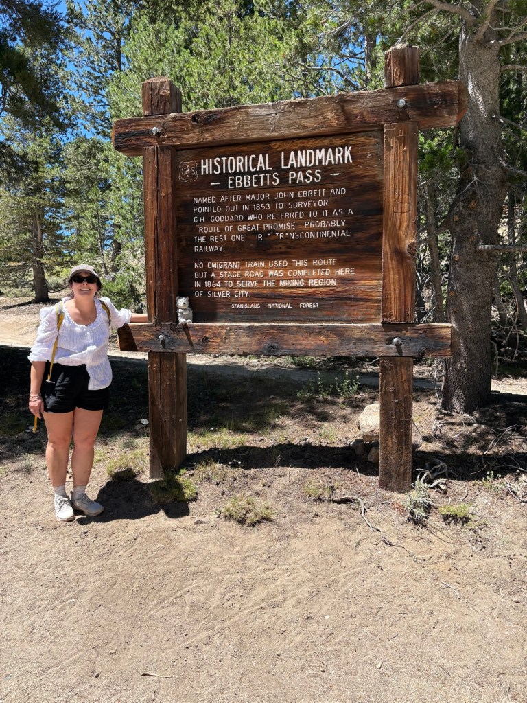
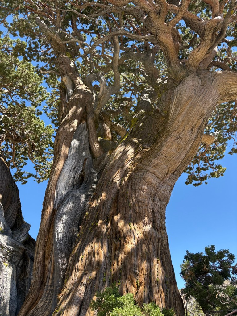
From there, we hit the trail, this time heading in the correct upward direction. The trail had a comfortable, steady incline for the first half-mile or so. After that, it was a short, but quick march that took us beyond a cattle gate and a gnarled pine.
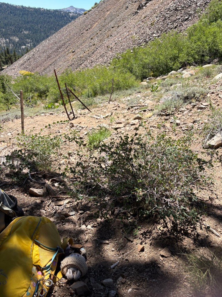
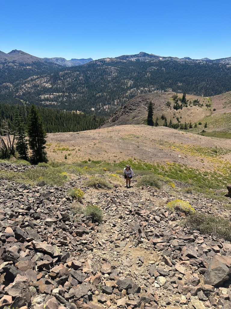
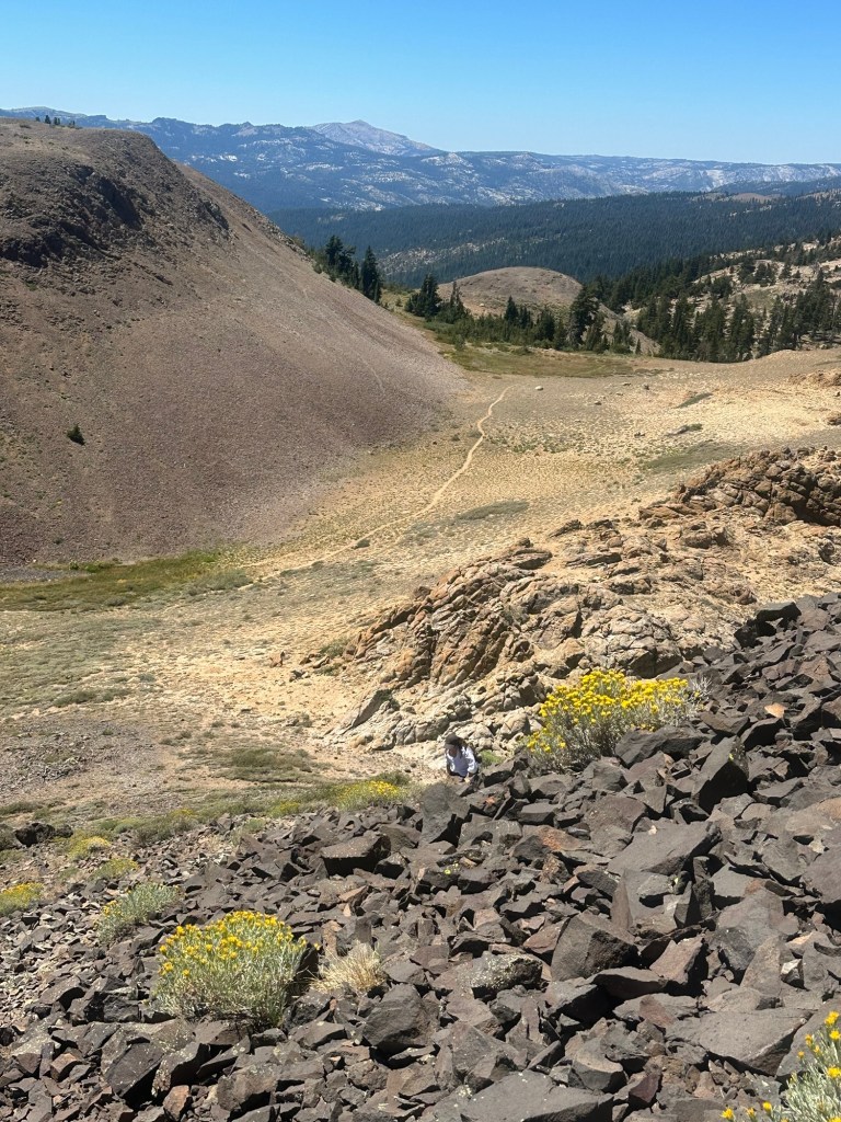
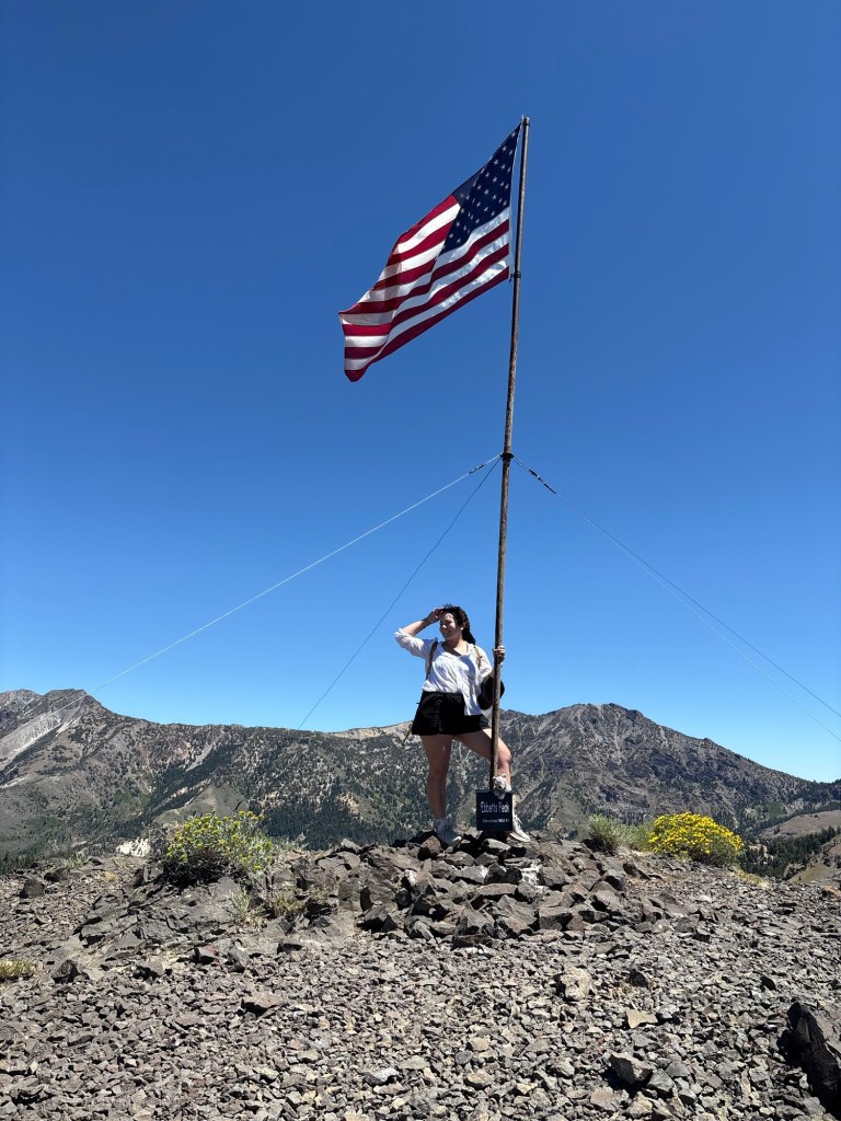
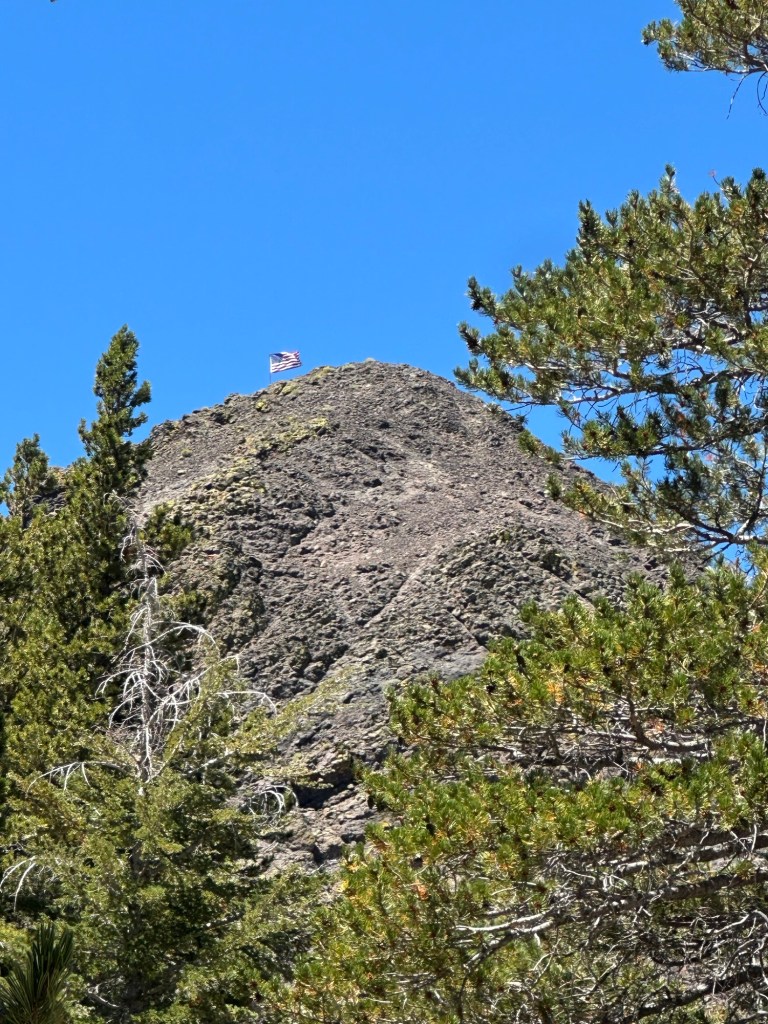
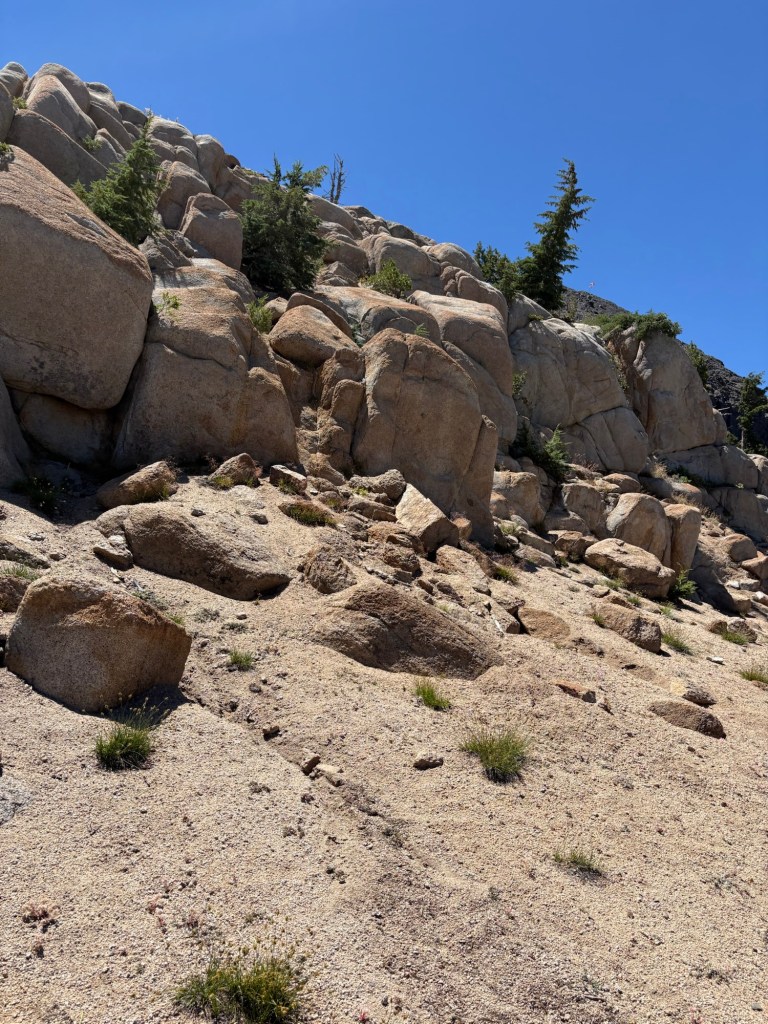
I have scrambled up many a peak, but for some reason, I found this one pretty difficult. Fortunately, it was not a long struggle, and we made it up. We were greeted by the American flag we had seen from the bottom of the peak and some pretty sweet views of Kinney Reservoir and the landscapes below. It was rather amazing.
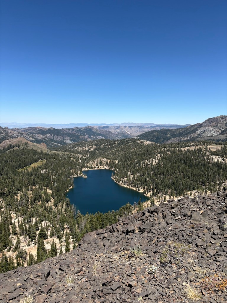
We didn’t stay at the peak too long. The winds were picking up, and we were getting hungry as we reached the peak just after lunch time. Besides, what comes up must come down, and if there is anything I am learning as I get older, it can be hard on the knees and the psyche to track down a steep trail, especially one covered in rocks and other slip hazards. We took our time getting down the mountain, then sped up as the trail flattened out again. We stopped at the tree for lunch before crossing the cattle gate and getting back to the road. Though short, this was a moderately difficult hike thanks to the scramble up the peak covered with slippery scree. But it was definitely worth it for the spectacular views.
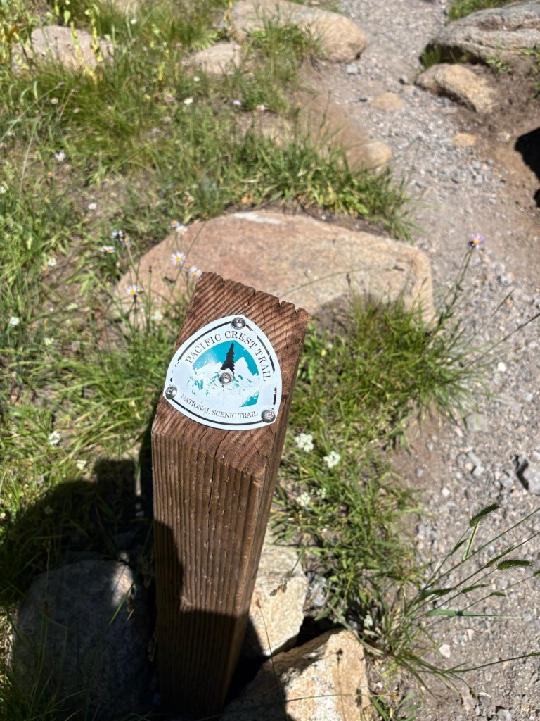
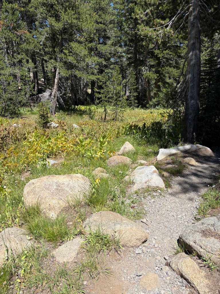
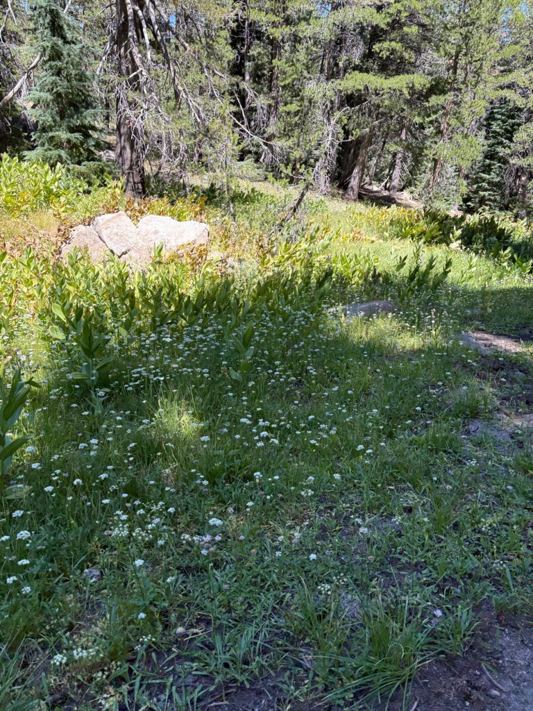
Soon enough, we were back on the road. To get back to the car, we elected to hike along part of California Section J of PCT rather than walk along the road. I appreciated the shade of the Carlson-Iceberg Wilderness. The short stretch was verdant and beautiful, and it was a nice treat hiking back to the parking area. The hike to the peak was only about 1.2 miles, but we added some distance with the ‘side quests.’ My total distance according to Strava was 4 miles with 1005 feet of elevation.
After a quick stop at the vault toilet, which was very clean on the day of our visit, we loaded back into the Subie to continue our drive along the scenic byway. Our plan was to drive to its eastern terminus, and visit the state park on the eastern side of the Sierras. But that will be an adventure for the next post.
Some things to consider:
What makes Ebbetts Pass Scenic Byway a beautiful drive through the Sierras is what can also make it challenging. The state route winds through breathtaking forests, connecting pristine lakes, trails, and mountain peaks. As mentioned above, the road is narrow at points; about a lane-and-a-half, with no center line to guide. There are also a couple hairpin turns and many steep sections. Concentrated driving and observing posted signs make the drive manageable- and fun. Perhaps the most challenging aspect is not getting distracted by the gorgeous scenery.
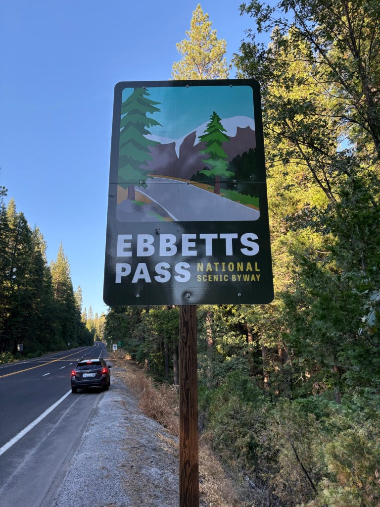
Weather can be changeful, as we had learned the hard way when we drove CA-4 trying to get to Calaveras Big Trees over spring break 2024. The weather went from a slight chance of rain, to a definite 0.3″ of rain, to an unexpected snowstorm that caught drivers- including us- unawares. Summer storms are also a possibility as I found attempting to visit back in 2022. Being weather aware can ensure safety, and we learned that when in doubt it is better to turn around. There will be other opportunities to adventure- but only if we stay safe.
Please note that Ebbetts Pass does close with the first heavy snowfall and remains closed through about late spring. There are three snow play areas along the scenic byway, near Bear Valley and Lake Alpine. Just be sure to carry appropriate gear, such as tire chains and other snow essentials. Permits are required to play in the Sno-parks.
There were no fuel stops past Arnold until we reached Markleeville in Alpine County. When heading west to east, I recommend fueling up in Angels Camp or Murphys for the best prices.
I noticed that cell service was more consistent on this trip than on prior treks. That said, cell service was spotty in some areas, including near Big Trees and parts of PCT. This was great, as I needed some time away from the stressors of the daily grind. On the other hand, in case of emergency, lack of cell service makes it more difficult to alert for help.
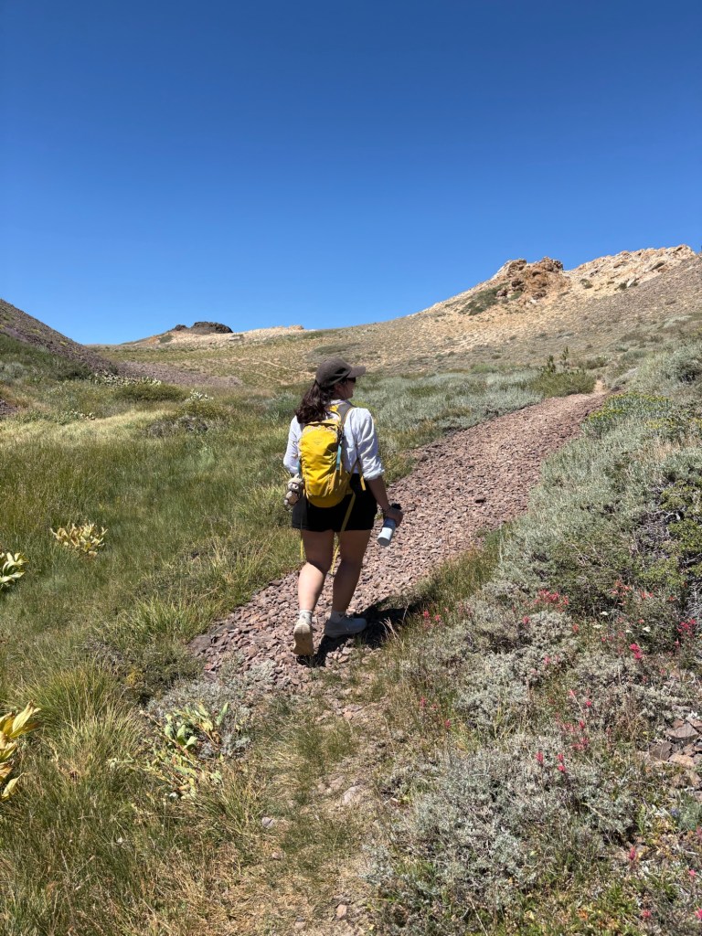
We brought plenty of water, snacks, and food for the drive. The trail to Ebetts Peak, as well as the portion of PCT heading west from CA-4 were rather exposed. Also, being at higher elevations, extra water along with some salty snacks can help stave off altitude issues. Sun protection is also important.
The PCT/ Ebbetts Pass parking area has room for about a dozen or so vehicles. There is also informative signage and vault toilet which was pretty clean. I was not sure whether a wilderness pass was needed to park in the lot; according to the internet, parking here for the day does not require a pass. Overnight treks require a permit. I had my national parks pass hanging from the rearview mirror just in case.
I recommend allowing some extra time if possible. There are so many points of interest along Ebbetts Pass Scenic Byway; even stopping at any of the lovely vista points can deepen appreciation for our beautiful, interconnected planet.
I loved exploring the Ebbetts Pass Scenic Byway. It is truly a spectacular experience. I am always amazed when driving in California how diverse my home state is in terms of ecology, topography, and magnificent vistas. There are so many beautiful places to explore and enjoy. Just pick a happy trail and go! Because life is an adventure meant to be shared and there are many adventures to be had on this amazing stretch of highway. Cheers!
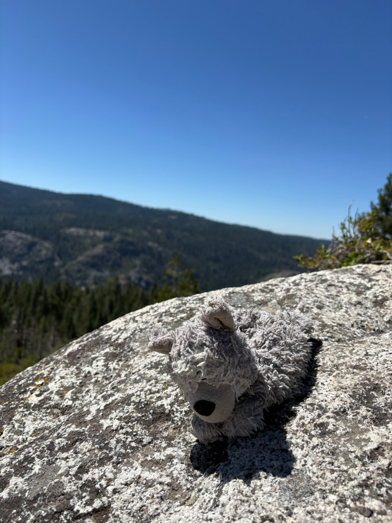
To plan your trip, visit scenic4.org, the official site for the Ebbetts Pass Scenic Byway.
References:
“Ebbetts Pass National Scenic Byway.” National Scenic Byway Foundation, nsbfoundation.com/nb/ebbetts-pass-national-scenic-byway/.


1 thought on “Pacific Crest Trails and Scenic Routes: Ebbetts Pass”